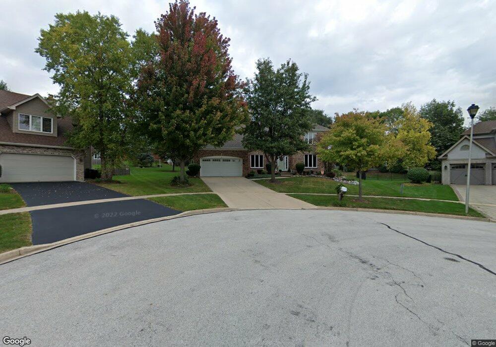
1330 Burnham Ln Batavia, IL 60510
Southeast Batavia NeighborhoodEstimated Value: $504,000 - $728,000
About This Home
This home is located at 1330 Burnham Ln, Batavia, IL 60510 and is currently estimated at $635,490, approximately $202 per square foot. 1330 Burnham Ln is a home located in Kane County with nearby schools including Hoover Wood Elementary School, Sam Rotolo Middle School, and Batavia Sr High School.
Ownership History
We collect this data history from publicly available records. To have your information removed, we recommend requesting removal directly through your county’s website.
Purchase Details
Purchase Details
Home Financials for this Owner
Home Financials are based on the most recent Mortgage that was taken out on this home.Purchase Details
Home Values in the Area
Average Home Value in this Area
Purchase History
We collect this data history from publicly available records. To have your information removed, we recommend requesting removal directly through your county’s website.
| Date | Buyer | Sale Price | Title Company |
|---|---|---|---|
| -- | None Listed On Document | ||
| $282,000 | Chicago Title Insurance Co | ||
| -- | Chicago Title |
Mortgage History
We collect this data history from publicly available records. To have your information removed, we recommend requesting removal directly through your county’s website.
| Date | Status | Borrower | Loan Amount |
|---|---|---|---|
| Previous Owner | $215,000 |
Tax History
We collect this data history from publicly available records. To have your information removed, we recommend requesting removal directly through your county’s website.
| Year | Tax Paid | Tax Assessment Tax Assessment Total Assessment is a certain percentage of the fair market value that is determined by local assessors to be the total taxable value of land and additions on the property. | Land | Improvement |
|---|---|---|---|---|
| 2024 | $13,226 | $183,281 | $30,578 | $152,703 |
| 2023 | $12,901 | $166,347 | $27,753 | $138,594 |
| 2022 | $13,051 | $155,464 | $25,937 | $129,527 |
| 2021 | $12,538 | $147,443 | $24,599 | $122,844 |
| 2020 | $12,131 | $144,609 | $24,126 | $120,483 |
| 2019 | $11,939 | $139,490 | $23,272 | $116,218 |
| 2018 | $11,889 | $138,835 | $22,386 | $116,449 |
| 2017 | $11,607 | $134,257 | $21,648 | $112,609 |
| 2016 | $11,365 | $129,346 | $21,017 | $108,329 |
| 2015 | -- | $126,400 | $20,538 | $105,862 |
| 2014 | -- | $122,422 | $19,892 | $102,530 |
| 2013 | -- | $127,999 | $27,470 | $100,529 |
Map
- 34W268 Giese Rd
- 34W246 Giese Rd Unit 1
- 1179 Hanover Dr Unit 1
- 1611 Beels Ct
- 1678 Barkei Dr
- 493 Bond Dr
- 908 Knox Ln
- 601 Ridgelawn Trail
- 1729 Wiesbrock Ln
- 3S103 S Raddant Rd
- 1869 Wagner Rd
- 1897 Von Hoff Dr
- 701 Viking Dr
- Lot 4 Manchester Ave
- 745 Newberry Dr
- 424 S Forest Ave
- 808 S Van Buren St
- 1644 Derby Dr
- 860 S River St
- 1134 Wintergreen Ct
- 1320 Burnham Ln
- 1340 Burnham Ln
- 1310 Burnham Ln
- 1350 Burnham Ln
- 1004 Deshannon Ct
- 1001 Deshannon Ct
- 2S396 S Raddant Rd
- 1169 S Raddant Rd
- 1360 S Raddant Rd
- 1335 Burnham Ln
- 1200 S Raddant Rd
- 1300 Burnham Ln
- 2S483 S Raddant Rd
- 1360 Burnham Ln
- 931 Norcross Dr
- 1315 Burnham Ln
- 1157 S Raddant Rd
- 1008 Deshannon Ct
- 1220 Burnham Ln
- 1305 Burnham Ln
Ask me questions while you tour the home.