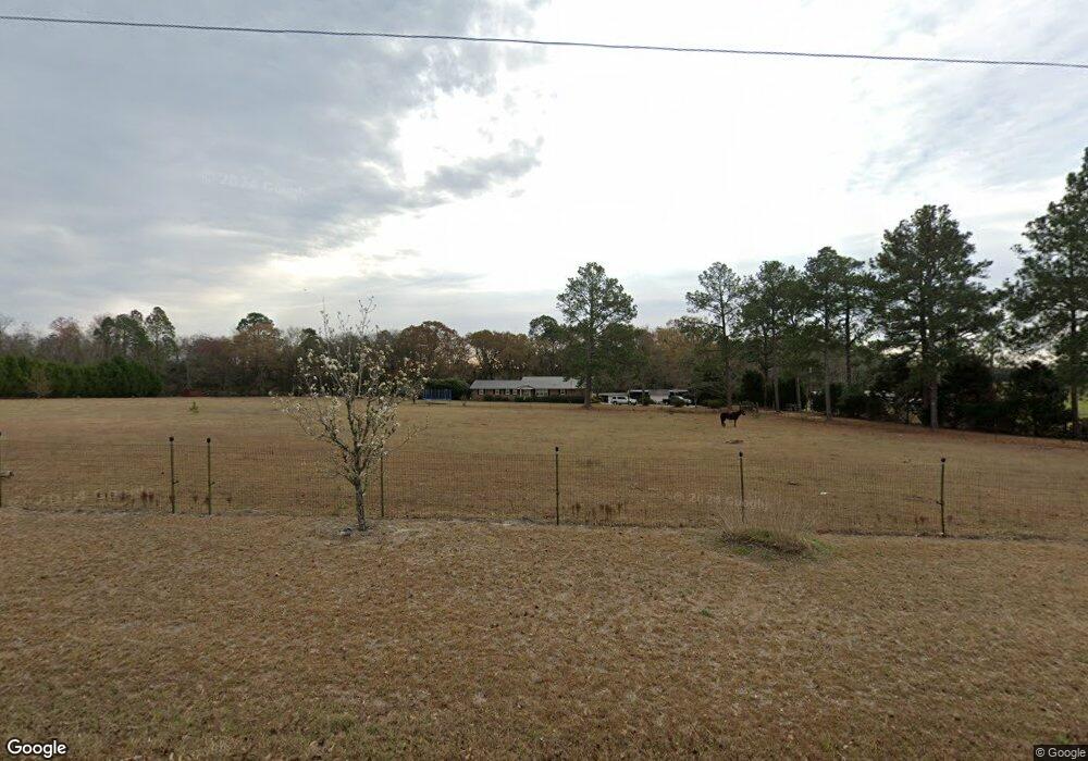
1330 Gresston Baptist Rd Eastman, GA 31023
Estimated Value: $197,000 - $345,000
--
Bed
2
Baths
1,508
Sq Ft
$186/Sq Ft
Est. Value
About This Home
This home is located at 1330 Gresston Baptist Rd, Eastman, GA 31023 and is currently estimated at $279,995, approximately $185 per square foot. 1330 Gresston Baptist Rd is a home located in Dodge County with nearby schools including Dodge County High School.
Ownership History
Date
Name
Owned For
Owner Type
Purchase Details
Closed on
Aug 16, 2013
Sold by
Rabun Patsy L
Bought by
Brown Tyrus L and Jordan Mary Sue
Current Estimated Value
Home Financials for this Owner
Home Financials are based on the most recent Mortgage that was taken out on this home.
Original Mortgage
$139,428
Outstanding Balance
$102,463
Interest Rate
4.25%
Mortgage Type
FHA
Estimated Equity
$177,532
Purchase Details
Closed on
Nov 1, 1999
Sold by
Jones Tommy and Jones Sherre
Bought by
Rabun Patsy L and Rabun Lama
Create a Home Valuation Report for This Property
The Home Valuation Report is an in-depth analysis detailing your home's value as well as a comparison with similar homes in the area
Home Values in the Area
Average Home Value in this Area
Purchase History
| Date | Buyer | Sale Price | Title Company |
|---|---|---|---|
| Brown Tyrus L | $142,000 | -- | |
| Rabun Patsy L | $60,000 | -- |
Source: Public Records
Mortgage History
| Date | Status | Borrower | Loan Amount |
|---|---|---|---|
| Open | Brown Tyrus L | $139,428 |
Source: Public Records
Tax History Compared to Growth
Tax History
| Year | Tax Paid | Tax Assessment Tax Assessment Total Assessment is a certain percentage of the fair market value that is determined by local assessors to be the total taxable value of land and additions on the property. | Land | Improvement |
|---|---|---|---|---|
| 2025 | $2,373 | $95,874 | $9,370 | $86,504 |
| 2024 | $2,062 | $79,324 | $9,370 | $69,954 |
| 2023 | $2,048 | $79,324 | $9,370 | $69,954 |
| 2022 | $1,870 | $72,648 | $7,034 | $65,614 |
| 2021 | $1,830 | $70,866 | $7,034 | $63,832 |
| 2020 | $1,832 | $69,861 | $6,029 | $63,832 |
| 2019 | $1,456 | $54,854 | $6,029 | $48,825 |
| 2018 | $1,422 | $55,661 | $6,029 | $49,632 |
| 2017 | $1,407 | $55,053 | $6,029 | $49,024 |
| 2016 | $1,407 | $55,053 | $6,029 | $49,024 |
| 2015 | -- | $55,053 | $6,029 | $49,024 |
| 2014 | -- | $55,053 | $6,029 | $49,024 |
| 2013 | -- | $43,547 | $6,028 | $37,518 |
Source: Public Records
Map
Nearby Homes
- 238 Wilson Woodard Rd
- 1805 Bell Line Rd
- 115 Log Cabin Rd
- 0 Bethel Church Rd Unit 10601037
- 3557 Antioch Church Rd
- 140 Antioch Church Rd
- 251 Bill Hambrick Rd
- 6419 Cochran Hwy
- PARCEL A Wiggum Rd & St James Rd
- 0 Cheek Rd
- 596 Ga Highway 257
- 983 Cochran Hwy
- 94 24th Ave
- 1227 Hawkinsville Hwy
- 172 Old Eastman Rd
- 5611 Cottondale Ave
- 0 14th Ave Unit 10617460
- 0 14th Ave Unit 7658904
- 5828 Oak St
- 5826 Windsor Way
- 1314 Gresston Baptist Rd
- 1407 Gresston Baptist Rd
- 3883 Cochran Hwy
- 3809 Cochran Hwy
- 3890 Cochran Hwy
- 3874 Cochran Hwy
- 3939 Cochran Hwy
- 3848 Cochran Hwy
- 3862 Cochran Hwy
- 3818 Cochran Hwy
- 3928 Cochran Hwy
- 1444 Garrett Oxley Rd
- 3790 Cochran Hwy
- 3942 Cochran Hwy
- 1428 Gresston Baptist Rd
- 3784 Cochran Hwy
- 3952 Cochran Hwy
- 3746 Cochran Hwy
- 3751 Cochran Hwy
- 3698 Cochran Hwy