1330 Highway 26 W Arkadelphia, AR 71923
Estimated Value: $348,000 - $461,034
--
Bed
2
Baths
2,434
Sq Ft
$164/Sq Ft
Est. Value
About This Home
This home is located at 1330 Highway 26 W, Arkadelphia, AR 71923 and is currently estimated at $398,259, approximately $163 per square foot. 1330 Highway 26 W is a home located in Clark County with nearby schools including Louisa Perritt Primary School, Peake Elementary School, and Central Primary School.
Ownership History
Date
Name
Owned For
Owner Type
Purchase Details
Closed on
Mar 2, 2016
Bought by
Rowe Phillips and Rowe Louise Phillips
Current Estimated Value
Purchase Details
Closed on
Jul 20, 2010
Sold by
Neel Tony B and Neel Dana Brooke
Bought by
Reynolds Harold Douglas and Reynolds Gayla
Home Financials for this Owner
Home Financials are based on the most recent Mortgage that was taken out on this home.
Original Mortgage
$400,000
Interest Rate
4.69%
Purchase Details
Closed on
Sep 29, 2006
Bought by
Arkansas Auto Brokers Of
Create a Home Valuation Report for This Property
The Home Valuation Report is an in-depth analysis detailing your home's value as well as a comparison with similar homes in the area
Home Values in the Area
Average Home Value in this Area
Purchase History
| Date | Buyer | Sale Price | Title Company |
|---|---|---|---|
| Rowe Phillips | $425,000 | -- | |
| Reynolds Harold Douglas | -- | -- | |
| Arkansas Auto Brokers Of | -- | -- |
Source: Public Records
Mortgage History
| Date | Status | Borrower | Loan Amount |
|---|---|---|---|
| Previous Owner | Reynolds Harold Douglas | $400,000 |
Source: Public Records
Tax History Compared to Growth
Tax History
| Year | Tax Paid | Tax Assessment Tax Assessment Total Assessment is a certain percentage of the fair market value that is determined by local assessors to be the total taxable value of land and additions on the property. | Land | Improvement |
|---|---|---|---|---|
| 2024 | $1,727 | $43,010 | $3,350 | $39,660 |
| 2023 | $1,802 | $43,010 | $3,350 | $39,660 |
| 2022 | $1,852 | $43,010 | $3,350 | $39,660 |
| 2021 | $1,852 | $43,010 | $3,350 | $39,660 |
| 2020 | $1,852 | $43,010 | $3,350 | $39,660 |
| 2019 | $2,027 | $46,390 | $3,380 | $43,010 |
| 2018 | $2,029 | $46,390 | $3,380 | $43,010 |
| 2017 | $2,027 | $46,390 | $3,380 | $43,010 |
| 2016 | $2,379 | $46,390 | $3,380 | $43,010 |
| 2015 | $1,750 | $46,390 | $3,380 | $43,010 |
| 2014 | $1,509 | $40,867 | $1,477 | $39,390 |
Source: Public Records
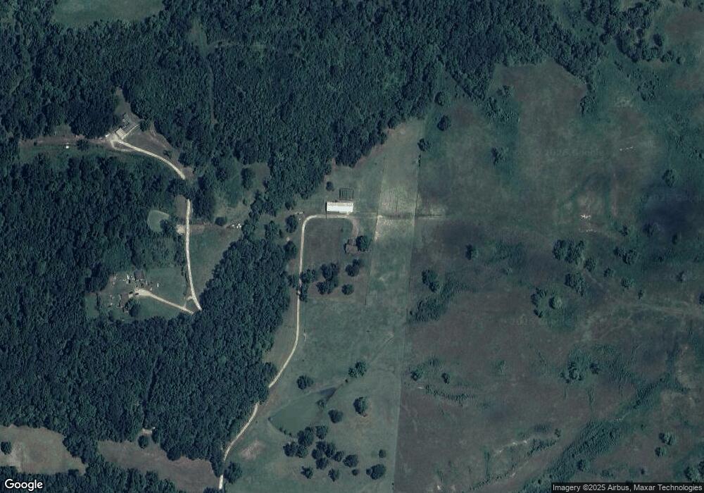
Map
Nearby Homes
- 365 Helms Rd
- 5524 Arkansas 8
- 2 Western Hills Dr
- 777 Mount Zion Rd
- 318 Central Rd
- 147 Central Rd
- 0 Flanagan Rd
- 357 Echols Rd
- 43 Tracelwood Dr
- 1440 Central Rd
- 77 Mcneely Rd
- 0 Mt Olive Rd Unit 23935851
- 0 Mt Olive Rd Unit 25023703
- Lot 59 Apple Blossom Dr
- TBD Apple Blossom Dr
- 106 Apple Blossom Dr
- 72 Ranch Rd
- 100 Canterbury Ln
- 108 Magnolia Dr
- 746 Unity Rd
- 1330 Highway 26 W
- 117 Rooster Rd
- 45 Rooster Rd
- 1372 Highway 26 W
- 1381 Highway 26 W
- 1446 Highway 26 W
- 4660 Highway 51 S
- 1491 Highway 26 W
- XXX Highway 51
- 4576 Highway 51 S
- 4762 Highway 51 S
- 45 Edwards Dr
- 45 Edwards Dr
- 1579 Highway 26 W
- S Kimberly Hwy
- 1579 Highway 26 W
- 1 Kimberly Dr
- 262 Burrow Rd
- 0 Burrow Rd Unit 10314049
- 420 Burrow Rd