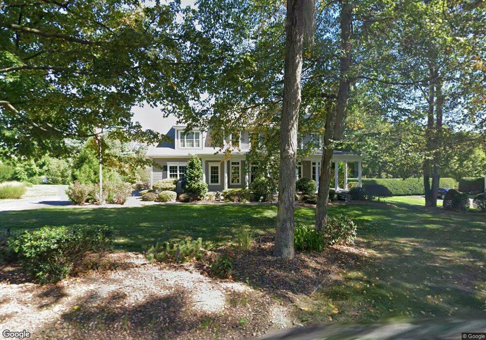
1330 Piper Rd West Springfield, MA 01089
Estimated Value: $602,678 - $736,000
4
Beds
3
Baths
2,341
Sq Ft
$277/Sq Ft
Est. Value
About This Home
This home is located at 1330 Piper Rd, West Springfield, MA 01089 and is currently estimated at $648,420, approximately $276 per square foot. 1330 Piper Rd is a home located in Hampden County with nearby schools including St Thomas The Apostle School.
Create a Home Valuation Report for This Property
The Home Valuation Report is an in-depth analysis detailing your home's value as well as a comparison with similar homes in the area
Home Values in the Area
Average Home Value in this Area
Tax History Compared to Growth
Tax History
| Year | Tax Paid | Tax Assessment Tax Assessment Total Assessment is a certain percentage of the fair market value that is determined by local assessors to be the total taxable value of land and additions on the property. | Land | Improvement |
|---|---|---|---|---|
| 2025 | $7,738 | $520,400 | $150,900 | $369,500 |
| 2024 | $7,292 | $492,400 | $150,900 | $341,500 |
| 2023 | $7,050 | $453,700 | $156,600 | $297,100 |
| 2022 | $6,438 | $408,500 | $142,500 | $266,000 |
| 2021 | $6,682 | $395,400 | $149,800 | $245,600 |
| 2020 | $6,669 | $392,500 | $149,800 | $242,700 |
| 2019 | $6,657 | $392,500 | $149,800 | $242,700 |
| 2018 | $6,692 | $392,500 | $149,800 | $242,700 |
| 2017 | $6,692 | $392,500 | $149,800 | $242,700 |
| 2016 | $6,699 | $394,300 | $144,100 | $250,200 |
| 2015 | $6,568 | $386,600 | $141,300 | $245,300 |
| 2014 | $1,598 | $386,600 | $141,300 | $245,300 |
Source: Public Records
Map
Nearby Homes
- 11 Annie's Way
- 59 Clayton Dr
- 86 Birnie Ave
- 80 Brush Hill Ave Unit 28
- 80 Brush Hill Ave Unit 32
- 42 Gregory Ln
- 50 Overlook Dr
- 64 Apple Ridge Rd
- 39 Bonnie Brae Dr
- 36 Shady Brook
- 89-111 Whitney Ave
- 32 Windpath E
- 34 High Meadow Dr
- 87 Blanchwood Ave
- 86 Beaumont Ave
- 66 Wayfield Ave
- 43 Wishing Well Way
- 51 Beaumont Ave
- 212 Poplar St
- 37 Kimball St