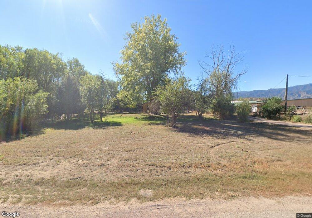
1330 Poplar Ave Canon City, CO 81212
Estimated Value: $259,000 - $317,304
3
Beds
2
Baths
1,122
Sq Ft
$261/Sq Ft
Est. Value
About This Home
This home is located at 1330 Poplar Ave, Canon City, CO 81212 and is currently estimated at $293,076, approximately $261 per square foot. 1330 Poplar Ave is a home located in Fremont County with nearby schools including McKinley Elementary School, Canon City High School, and Calvary Christian School.
Ownership History
Date
Name
Owned For
Owner Type
Purchase Details
Closed on
Aug 1, 2025
Sold by
Beston Deric
Bought by
Beston Deric Andrew and Beston Kyle
Current Estimated Value
Home Financials for this Owner
Home Financials are based on the most recent Mortgage that was taken out on this home.
Original Mortgage
$450,549
Outstanding Balance
$450,549
Interest Rate
6.77%
Mortgage Type
Construction
Estimated Equity
-$157,473
Purchase Details
Closed on
Jul 10, 2021
Sold by
Ledbetter Rosemarie Anne
Bought by
Ledbetter Marilee and Bringley Marilee
Purchase Details
Closed on
Jul 9, 2019
Sold by
Ledbetter Rosemarie Anne
Bought by
Ledbetter Rosemarie Anne
Purchase Details
Closed on
Feb 16, 1990
Sold by
Murphy
Bought by
Smith
Create a Home Valuation Report for This Property
The Home Valuation Report is an in-depth analysis detailing your home's value as well as a comparison with similar homes in the area
Home Values in the Area
Average Home Value in this Area
Purchase History
| Date | Buyer | Sale Price | Title Company |
|---|---|---|---|
| Beston Deric Andrew | -- | Stewart Title | |
| Ledbetter Marilee | -- | None Available | |
| Ledbetter Rosemarie Anne | -- | None Available | |
| Smith | $39,900 | -- |
Source: Public Records
Mortgage History
| Date | Status | Borrower | Loan Amount |
|---|---|---|---|
| Open | Beston Deric Andrew | $450,549 | |
| Previous Owner | Beston Deric | $160,977 |
Source: Public Records
Tax History Compared to Growth
Tax History
| Year | Tax Paid | Tax Assessment Tax Assessment Total Assessment is a certain percentage of the fair market value that is determined by local assessors to be the total taxable value of land and additions on the property. | Land | Improvement |
|---|---|---|---|---|
| 2024 | $801 | $13,677 | $0 | $0 |
| 2023 | $801 | $9,533 | $0 | $0 |
| 2022 | $1,120 | $13,348 | $0 | $0 |
| 2021 | $1,122 | $13,733 | $0 | $0 |
| 2020 | $941 | $11,605 | $0 | $0 |
| 2019 | $929 | $11,605 | $0 | $0 |
| 2018 | $854 | $10,391 | $0 | $0 |
| 2017 | $793 | $10,391 | $0 | $0 |
| 2016 | $766 | $10,900 | $0 | $0 |
| 2015 | $765 | $10,900 | $0 | $0 |
| 2012 | $738 | $11,059 | $6,949 | $4,110 |
Source: Public Records
Map
Nearby Homes
- 1544 Birch St
- 1414 Elm Ave
- 1450 Locust Elm Ave
- 1009 Elm Ave
- 1527 Chestnut St Unit 10
- 1415 Lombard St
- 911 Elm Ave
- 1610 Chestnut St Unit 18
- 1419 S 9th St
- 1416 Chestnut St
- 850 Grand Ave
- 822 Capitol Hill St
- 1615 Locust St
- 1222 S 9th St
- 1207 Eugene Dr
- 1422 Locust St
- 1450 Locust Dr
- 811 Logan St Unit C
- 1545 Sherman Ave
- 1646 Grand Ave