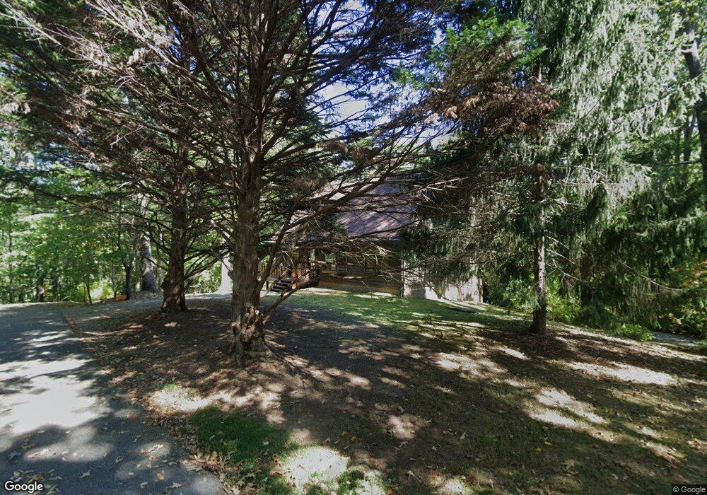
1330 Riverwilde Rd Clarkesville, GA 30523
Estimated Value: $387,000 - $419,000
2
Beds
2
Baths
1,764
Sq Ft
$227/Sq Ft
Est. Value
About This Home
This home is located at 1330 Riverwilde Rd, Clarkesville, GA 30523 and is currently estimated at $399,652, approximately $226 per square foot. 1330 Riverwilde Rd is a home located in Habersham County with nearby schools including Clarkesville Elementary School, North Habersham Middle School, and Habersham Success Academy.
Ownership History
Date
Name
Owned For
Owner Type
Purchase Details
Closed on
Jul 22, 2011
Sold by
Tyre Joel W
Bought by
Tyre Joel W
Current Estimated Value
Home Financials for this Owner
Home Financials are based on the most recent Mortgage that was taken out on this home.
Original Mortgage
$135,000
Outstanding Balance
$10,130
Interest Rate
4.52%
Mortgage Type
New Conventional
Estimated Equity
$389,522
Purchase Details
Closed on
Feb 1, 2006
Sold by
Not Provided
Bought by
Tyre Joel W and Tyre Lakeeta L
Create a Home Valuation Report for This Property
The Home Valuation Report is an in-depth analysis detailing your home's value as well as a comparison with similar homes in the area
Home Values in the Area
Average Home Value in this Area
Purchase History
| Date | Buyer | Sale Price | Title Company |
|---|---|---|---|
| Tyre Joel W | -- | -- | |
| Tyre Joel W | -- | -- |
Source: Public Records
Mortgage History
| Date | Status | Borrower | Loan Amount |
|---|---|---|---|
| Open | Tyre Joel W | $135,000 |
Source: Public Records
Tax History
| Year | Tax Paid | Tax Assessment Tax Assessment Total Assessment is a certain percentage of the fair market value that is determined by local assessors to be the total taxable value of land and additions on the property. | Land | Improvement |
|---|---|---|---|---|
| 2025 | $2,414 | $128,456 | $43,814 | $84,642 |
| 2024 | -- | $134,020 | $42,020 | $92,000 |
| 2023 | $1,947 | $118,116 | $42,020 | $76,096 |
| 2022 | $2,146 | $93,308 | $28,012 | $65,296 |
| 2021 | $2,061 | $86,420 | $28,012 | $58,408 |
| 2020 | $2,022 | $78,220 | $28,012 | $50,208 |
| 2019 | $2,024 | $78,220 | $28,012 | $50,208 |
| 2018 | $1,945 | $74,720 | $24,512 | $50,208 |
| 2017 | $1,835 | $70,272 | $24,512 | $45,760 |
| 2016 | $1,689 | $166,930 | $21,012 | $45,760 |
| 2015 | $1,669 | $166,930 | $21,012 | $45,760 |
| 2014 | $1,669 | $163,900 | $21,012 | $44,548 |
| 2013 | -- | $69,060 | $24,512 | $44,548 |
Source: Public Records
Map
Nearby Homes
- 775 Riverwilde Rd
- 1295 Wall Bridge Loop
- 182 Hardman Rd
- 274 Hardman Rd
- 1867 Georgia 197
- 220 Hardman Rd
- 1096 Sutton Mill Rd
- 182 Farm Hill Dr
- 0 Old Clarkesville Mill Rd Unit (LOT 13)
- 0 Old Clarkesville Mill Rd Unit (LOT 11)
- 0 Old Clarkesville Mill Rd Unit (LOT 12)
- 281 Grindstone Creek Dr
- 221 Grindstone Creek Dr
- 281 Grindstone Creek Dr
- 117 Village Green Way
- 382 Sherwood Dr
- 2125 Alec Mountain Rd
- 555 Highway 197 N
- 0 TRACT 1 Annandale Dr
- #3 Annandale Dr
- 1339 Riverwilde Rd
- 315 Miner Point
- 1225 Riverwilde Rd
- 242 Miner Point
- 1167 Riverwilde Rd
- 480 McCartan Trail
- 318 Miner Point
- 200 Miner Point Unit 46
- 200 Miner Point
- 458 McCartan Trail
- 0 Miner Point Unit 40 8234485
- 420 McCartan Trail
- 492 McCartan Trail
- 124 Miner Point
- 1170 Riverwilde Rd
- 288 Miner Point
- 500 McCartan Trail
- 318 Phillips St
- 360 McCartan Trail
- 1105 Riverwilde Rd
Your Personal Tour Guide
Ask me questions while you tour the home.