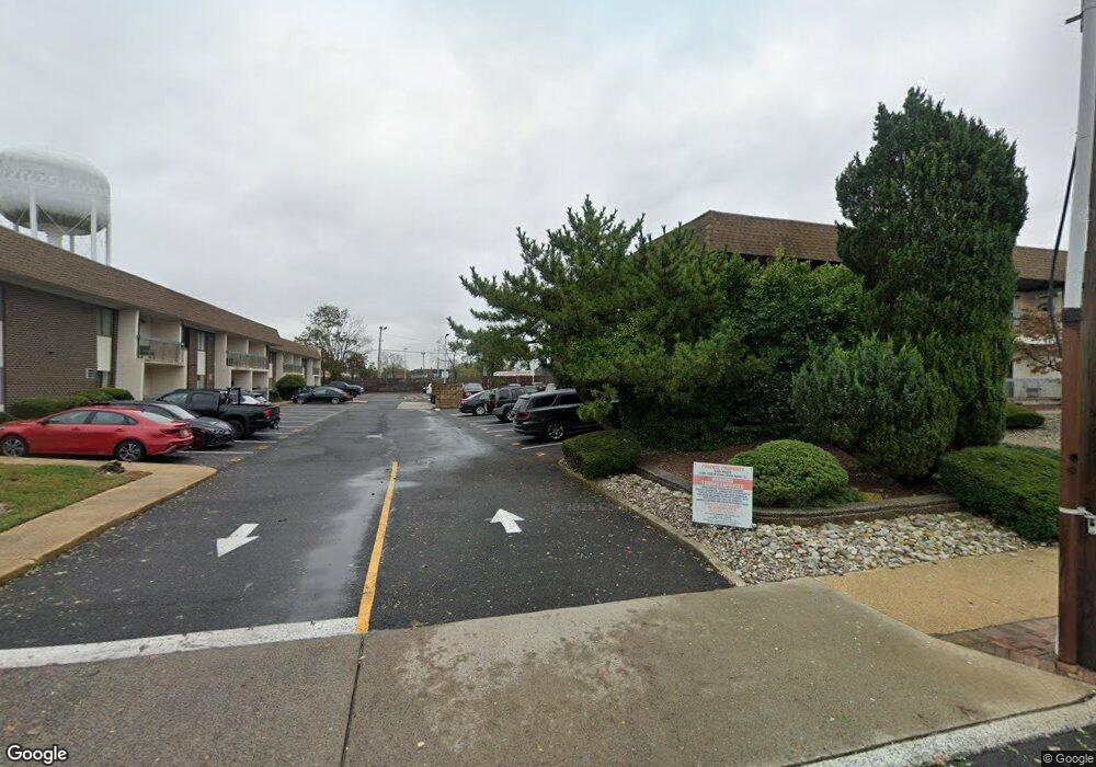
1330 State Route 71, Unit 11C Belmar, NJ 07719
Estimated Value: $315,000 - $372,000
1
Bed
1
Bath
848
Sq Ft
$401/Sq Ft
Est. Value
About This Home
This home is located at 1330 State Route 71 Unit 11C, Belmar, NJ 07719 and is currently estimated at $340,061, approximately $401 per square foot. 1330 State Route 71 Unit 11C is a home located in Monmouth County with nearby schools including Belmar Elementary School.
Ownership History
Date
Name
Owned For
Owner Type
Purchase Details
Closed on
Jul 20, 2017
Sold by
Bronze Creek Title Trust 2013 Npl1 and Wilmington Savings Fund S Ociety
Bought by
Matthews Philip T
Current Estimated Value
Home Financials for this Owner
Home Financials are based on the most recent Mortgage that was taken out on this home.
Interest Rate
3.96%
Purchase Details
Closed on
Mar 20, 2008
Sold by
Steward Sara L
Bought by
Deangelis Damian
Home Financials for this Owner
Home Financials are based on the most recent Mortgage that was taken out on this home.
Original Mortgage
$174,174
Interest Rate
5.76%
Mortgage Type
FHA
Purchase Details
Closed on
Apr 6, 2001
Sold by
Nelson Nathan
Bought by
Steward Sara
Home Financials for this Owner
Home Financials are based on the most recent Mortgage that was taken out on this home.
Original Mortgage
$75,660
Interest Rate
6.9%
Create a Home Valuation Report for This Property
The Home Valuation Report is an in-depth analysis detailing your home's value as well as a comparison with similar homes in the area
Home Values in the Area
Average Home Value in this Area
Purchase History
| Date | Buyer | Sale Price | Title Company |
|---|---|---|---|
| Matthews Philip T | $158,550 | -- | |
| Deangelis Damian | $177,000 | None Available | |
| Steward Sara | $78,000 | -- |
Source: Public Records
Mortgage History
| Date | Status | Borrower | Loan Amount |
|---|---|---|---|
| Closed | Matthews Philip T | -- | |
| Previous Owner | Deangelis Damian | $174,174 | |
| Previous Owner | Steward Sara | $75,660 |
Source: Public Records
Tax History Compared to Growth
Tax History
| Year | Tax Paid | Tax Assessment Tax Assessment Total Assessment is a certain percentage of the fair market value that is determined by local assessors to be the total taxable value of land and additions on the property. | Land | Improvement |
|---|---|---|---|---|
| 2025 | $2,551 | $175,300 | $105,000 | $70,300 |
| 2024 | $2,465 | $175,300 | $105,000 | $70,300 |
| 2023 | $2,465 | $175,300 | $105,000 | $70,300 |
| 2022 | $2,379 | $175,300 | $105,000 | $70,300 |
| 2021 | $2,379 | $175,300 | $105,000 | $70,300 |
| 2020 | $2,358 | $175,300 | $105,000 | $70,300 |
| 2019 | $2,358 | $175,300 | $105,000 | $70,300 |
| 2018 | $2,165 | $175,300 | $105,000 | $70,300 |
| 2017 | $2,112 | $175,300 | $105,000 | $70,300 |
| 2016 | $1,812 | $94,800 | $29,000 | $65,800 |
| 2015 | $1,838 | $95,800 | $30,000 | $65,800 |
| 2014 | $1,660 | $85,800 | $20,000 | $65,800 |
Source: Public Records
About This Building
Map
Nearby Homes
- 1330 State Route 71 Unit 11B
- 1330 State Route 71 Unit 11D
- 1330 State Route 71 Unit 11B
- 1330 State Route 71 Unit 11A
- 1330 State Route 71 Unit 9D
- 1330 State Route 71 Unit 9B
- 1330 State Route 71 Unit 8D
- 1330 State Route 71 Unit 8C
- 1330 State Route 71 Unit 8B
- 1330 State Route 71 Unit 8A
- 1330 State Route 71 Unit 7D
- 1330 State Route 71 Unit 6C
- 1330 State Route 71 Unit 6A
- 1330 State Route 71 Unit 5D
- 1330 State Route 71 Unit 5C
- 1330 State Route 71 Unit 5B
- 1330 State Route 71 Unit 5A
- 1330 State Route 71 Unit 4D
- 1330 State Route 71 Unit 4C
- 1330 State Route 71 Unit 4B