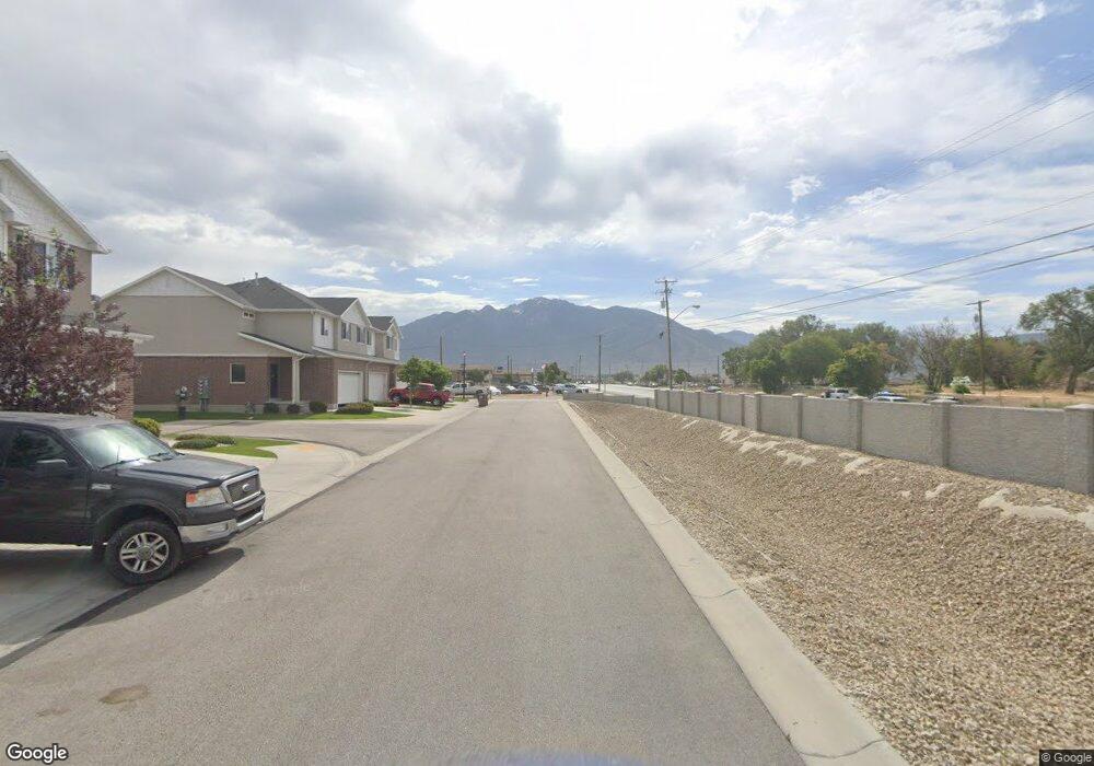
1330 W 12290 S Riverton, UT 84065
Estimated Value: $488,000 - $573,000
4
Beds
2
Baths
1,196
Sq Ft
$452/Sq Ft
Est. Value
About This Home
This home is located at 1330 W 12290 S, Riverton, UT 84065 and is currently estimated at $540,639, approximately $452 per square foot. 1330 W 12290 S is a home located in Salt Lake County with nearby schools including Rosamond Elementary School, Oquirrh Hills Middle School, and Riverton High School.
Ownership History
Date
Name
Owned For
Owner Type
Purchase Details
Closed on
Mar 27, 2002
Sold by
Thomas Kendall L
Bought by
Bleak Aaron W and Bleak Elizabeth
Current Estimated Value
Home Financials for this Owner
Home Financials are based on the most recent Mortgage that was taken out on this home.
Original Mortgage
$131,929
Outstanding Balance
$54,808
Interest Rate
6.84%
Mortgage Type
FHA
Estimated Equity
$485,831
Purchase Details
Closed on
May 3, 2001
Sold by
Loertscher Brent T and Loertscher Tonya
Bought by
Thomas Kendall L
Home Financials for this Owner
Home Financials are based on the most recent Mortgage that was taken out on this home.
Original Mortgage
$131,920
Interest Rate
7.37%
Purchase Details
Closed on
Jul 11, 1995
Sold by
Milligan Patrick Lee and Milligan Kaye P
Bought by
Loertscher Brent T and Loertscher Tonya
Home Financials for this Owner
Home Financials are based on the most recent Mortgage that was taken out on this home.
Original Mortgage
$95,540
Interest Rate
7.74%
Create a Home Valuation Report for This Property
The Home Valuation Report is an in-depth analysis detailing your home's value as well as a comparison with similar homes in the area
Home Values in the Area
Average Home Value in this Area
Purchase History
| Date | Buyer | Sale Price | Title Company |
|---|---|---|---|
| Bleak Aaron W | -- | Stewart Title Services | |
| Thomas Kendall L | -- | Associated Title | |
| Loertscher Brent T | -- | -- |
Source: Public Records
Mortgage History
| Date | Status | Borrower | Loan Amount |
|---|---|---|---|
| Open | Bleak Aaron W | $131,929 | |
| Previous Owner | Thomas Kendall L | $131,920 | |
| Previous Owner | Loertscher Brent T | $95,540 |
Source: Public Records
Tax History Compared to Growth
Tax History
| Year | Tax Paid | Tax Assessment Tax Assessment Total Assessment is a certain percentage of the fair market value that is determined by local assessors to be the total taxable value of land and additions on the property. | Land | Improvement |
|---|---|---|---|---|
| 2025 | $2,738 | $482,000 | $202,000 | $280,000 |
| 2024 | $2,738 | $473,800 | $198,300 | $275,500 |
| 2023 | $2,738 | $432,900 | $183,600 | $249,300 |
| 2022 | $2,771 | $443,600 | $180,000 | $263,600 |
| 2021 | $2,384 | $339,700 | $135,000 | $204,700 |
| 2020 | $2,225 | $295,600 | $121,000 | $174,600 |
| 2019 | $2,234 | $291,800 | $110,000 | $181,800 |
| 2018 | $2,102 | $270,400 | $110,000 | $160,400 |
| 2017 | $2,000 | $250,700 | $110,000 | $140,700 |
| 2016 | $1,947 | $234,200 | $102,000 | $132,200 |
| 2015 | $1,907 | $222,400 | $103,800 | $118,600 |
| 2014 | $1,836 | $209,900 | $98,900 | $111,000 |
Source: Public Records
Map
Nearby Homes
- 12216 S 1300 W
- 12392 S 1300 W
- 12294 S 1490 W
- 1410 W 12115 S
- 1184 W Margaret Rose Dr
- 1233 W 12500 S
- 1371 W Stewart Falls Dr
- 1373 W Stewart Falls Dr
- 12566 S Tithing Hill Dr
- 12091 S Lampton View Dr
- 1056 W Kate Springs Ln S Unit 10
- 1661 W Madison View Dr
- 12317 S Redwood Rd
- 12325 S Redwood Rd
- 1182 River Hills Dr
- 12345 S Redwood Rd
- 1337 Natasha Cir
- 11860 S Alysum Cir
- 1273 W Hendrix St Unit 145
- 1269 W Hendrix St Unit 146
- 12259 S 1345 W
- 1314 W 12290 S
- 12268 S 1300 W
- 1360 W 12290 S
- 1337 W 12290 S
- 12245 S 1345 W
- 12264 S 1345 W
- 1347 W 12290 S
- 12310 S 1300 W
- 12256 S 1300 W
- 12254 S 1345 W
- 1367 W 12290 S
- 1374 W 12290 S
- 12237 S 1345 W
- 12255 S Hill Cir
- 12255 Hill Cir
- 12322 S 1300 W
- 12238 S 1300 W
- 12274 Margaret Park Dr
- 1338 Breaker Point Way