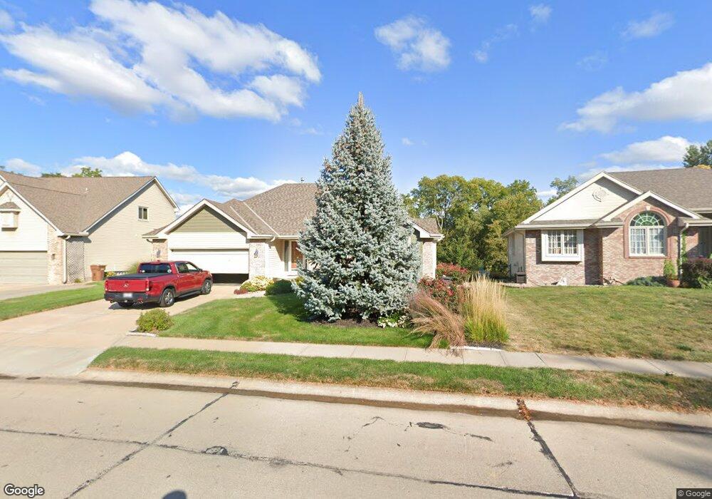
13301 S 20th St Bellevue, NE 68123
Estimated Value: $334,000 - $470,000
3
Beds
2
Baths
1,509
Sq Ft
$253/Sq Ft
Est. Value
About This Home
This home is located at 13301 S 20th St, Bellevue, NE 68123 and is currently estimated at $381,158, approximately $252 per square foot. 13301 S 20th St is a home located in Sarpy County with nearby schools including Fairview Elementary School, Bellevue Mission Middle School, and Bellevue West High School.
Ownership History
Date
Name
Owned For
Owner Type
Purchase Details
Closed on
Oct 19, 2017
Sold by
Horn Stephen M and Horn Randi A
Bought by
Horn Stephen M and Horn Randi A
Current Estimated Value
Purchase Details
Closed on
May 22, 2003
Sold by
Aylor Thomas E and Aylor Teresa E
Bought by
Horn Stephen E and Horn Randi A
Home Financials for this Owner
Home Financials are based on the most recent Mortgage that was taken out on this home.
Original Mortgage
$80,000
Interest Rate
5.79%
Create a Home Valuation Report for This Property
The Home Valuation Report is an in-depth analysis detailing your home's value as well as a comparison with similar homes in the area
Home Values in the Area
Average Home Value in this Area
Purchase History
| Date | Buyer | Sale Price | Title Company |
|---|---|---|---|
| Horn Stephen M | -- | None Available | |
| Horn Stephen E | $224,000 | Dakota Title & Escrow Co |
Source: Public Records
Mortgage History
| Date | Status | Borrower | Loan Amount |
|---|---|---|---|
| Closed | Horn Stephen E | $80,000 |
Source: Public Records
Tax History Compared to Growth
Tax History
| Year | Tax Paid | Tax Assessment Tax Assessment Total Assessment is a certain percentage of the fair market value that is determined by local assessors to be the total taxable value of land and additions on the property. | Land | Improvement |
|---|---|---|---|---|
| 2025 | $5,608 | $336,636 | $54,000 | $282,636 |
| 2024 | $6,009 | $319,931 | $54,000 | $265,931 |
| 2023 | $6,009 | $284,590 | $49,000 | $235,590 |
| 2022 | $5,643 | $262,216 | $44,000 | $218,216 |
| 2021 | $5,335 | $245,280 | $44,000 | $201,280 |
| 2020 | $5,193 | $237,996 | $44,000 | $193,996 |
| 2019 | $4,959 | $228,682 | $34,000 | $194,682 |
| 2018 | $4,708 | $222,938 | $34,000 | $188,938 |
| 2017 | $4,698 | $220,944 | $34,000 | $186,944 |
| 2016 | $4,501 | $216,369 | $34,000 | $182,369 |
| 2015 | $4,369 | $211,229 | $34,000 | $177,229 |
| 2014 | $4,174 | $200,491 | $29,000 | $171,491 |
| 2012 | -- | $202,004 | $29,000 | $173,004 |
Source: Public Records
Map
Nearby Homes
- 0000 Cedar Island Road East of Old 36th St
- 13801 S 22nd Cir
- 2512 Nottingham Dr
- 1506 Halifax St
- 13908 S 17th St
- 14107 S 18th St
- 13403 S 28th St
- 14112 S 22nd St
- 12901 S 29th Place
- 12722 S 28th Ave
- 14002 Tregaron Ridge Ave Unit B
- 14319 Tregaron Dr
- 2923 Blackhawk Dr
- 1909 Plymouth Rock Rd
- 2940 Leawood Dr
- 13902 Rahn Blvd
- 3105 Mirror Cir
- 14502 S 22nd St
- 3108 Mirror Cir
- 3102 Redwing Dr
- 13207 S 20th St
- 13305 S 20th St
- 13307 S 20th St
- 13205 S 20th St
- 13310 S 20th Cir
- 1910 Nottingham Dr
- 13308 S 20th Cir
- 13304 S 20th Cir
- 13306 S 20th Cir
- 13311 S 20th St
- 1912 Nottingham Dr
- 1914 Nottingham Dr
- 13301 S 20th Ave
- 13313 S 20th St
- 13303 S 20th Ave
- 13305 S 20th Ave
- 1911 Nottingham Dr
- 13307 S 20th Ave
- 1913 Nottingham Dr
- 2002 Nottingham Dr