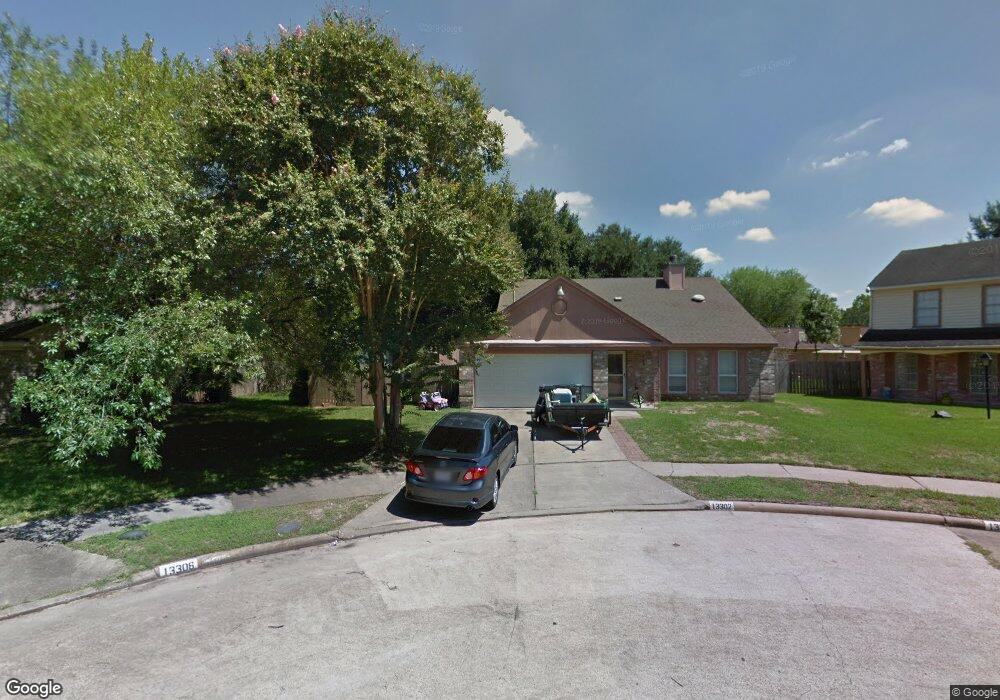
13302 Bridgepath Ct Houston, TX 77041
Eldridge North NeighborhoodEstimated Value: $311,952 - $382,000
4
Beds
2
Baths
2,717
Sq Ft
$123/Sq Ft
Est. Value
About This Home
This home is located at 13302 Bridgepath Ct, Houston, TX 77041 and is currently estimated at $333,988, approximately $122 per square foot. 13302 Bridgepath Ct is a home located in Harris County with nearby schools including Lee Elementary School, Truitt Middle School, and Cypress Ridge High School.
Ownership History
Date
Name
Owned For
Owner Type
Purchase Details
Closed on
Apr 30, 2007
Sold by
Brown William E and Brown Mary R
Bought by
Novak Michael C
Current Estimated Value
Home Financials for this Owner
Home Financials are based on the most recent Mortgage that was taken out on this home.
Original Mortgage
$100,000
Outstanding Balance
$60,694
Interest Rate
6.13%
Mortgage Type
Purchase Money Mortgage
Estimated Equity
$273,294
Create a Home Valuation Report for This Property
The Home Valuation Report is an in-depth analysis detailing your home's value as well as a comparison with similar homes in the area
Home Values in the Area
Average Home Value in this Area
Purchase History
| Date | Buyer | Sale Price | Title Company |
|---|---|---|---|
| Novak Michael C | -- | Stewart Title Company |
Source: Public Records
Mortgage History
| Date | Status | Borrower | Loan Amount |
|---|---|---|---|
| Open | Novak Michael C | $100,000 |
Source: Public Records
Tax History
| Year | Tax Paid | Tax Assessment Tax Assessment Total Assessment is a certain percentage of the fair market value that is determined by local assessors to be the total taxable value of land and additions on the property. | Land | Improvement |
|---|---|---|---|---|
| 2025 | $3,061 | $304,407 | $60,776 | $243,631 |
| 2024 | $3,061 | $331,379 | $55,338 | $276,041 |
| 2023 | $3,061 | $315,804 | $55,338 | $260,466 |
| 2022 | $5,373 | $259,444 | $46,062 | $213,382 |
| 2021 | $5,163 | $208,933 | $46,062 | $162,871 |
| 2020 | $5,201 | $194,468 | $23,031 | $171,437 |
| 2019 | $5,367 | $192,679 | $20,792 | $171,887 |
| 2018 | $1,600 | $170,144 | $20,792 | $149,352 |
| 2017 | $4,447 | $170,144 | $20,792 | $149,352 |
| 2016 | $4,042 | $170,144 | $20,792 | $149,352 |
| 2015 | $2,807 | $166,720 | $20,792 | $145,928 |
| 2014 | $2,807 | $141,893 | $17,273 | $124,620 |
Source: Public Records
Map
Nearby Homes
- 13303 Bridgepath Ct
- 13327 Bridgewalk Ln
- 5730 Buttergrove Dr
- 13335 Misty Mill Dr
- 6118 Wolfboro Dr
- 13514 Clayton Hill Dr
- 13407 Wells River Dr
- 13302 Wells River Dr
- 6118 Alstead Dr
- 12918 Deer Sage Ct
- 13011 Mossy Ridge Cove
- 5803 Song Ridge Ct
- 5710 Eldridge Glen Dr
- 5671 Grand Floral Blvd
- 13510 Pristine Park Dr
- 6247 Bryant Pond Dr
- 5527 Fragrant Cloud Ct
- 5523 Fragrant Cloud Ct
- 13526 Pristine Park Dr
- 13702 Dempley Dr
- 13306 Bridgepath Ct
- 6011 Wolfboro Dr
- 6015 Wolfboro Dr
- 13319 Bridgewalk Ln
- 6007 Wolfboro Dr
- 13315 Bridgewalk Ln
- 13323 Bridgewalk Ln
- 13310 Bridgepath Ct
- 13307 Bridgepath Ct
- 13311 Bridgewalk Ln
- 6003 Wolfboro Dr
- 13310 Harpers Bridge Dr
- 13311 Bridgepath Ct
- 13314 Bridgepath Ct
- 13314 Harpers Bridge Dr
- 13331 Bridgewalk Ln
- 6010 Wolfboro Dr
- 13315 Bridgepath Ct
- 13322 Harpers Bridge Dr
- 6014 Wolfboro Dr
Your Personal Tour Guide
Ask me questions while you tour the home.