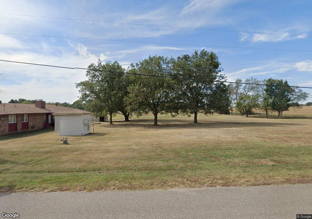
13302 Coker Rd Shawnee, OK 74804
Estimated Value: $254,000 - $533,734
3
Beds
2
Baths
1,672
Sq Ft
$241/Sq Ft
Est. Value
About This Home
This home is located at 13302 Coker Rd, Shawnee, OK 74804 and is currently estimated at $403,434, approximately $241 per square foot. 13302 Coker Rd is a home located in Pottawatomie County with nearby schools including Will Rogers Elementary School, Shawnee Middle School, and Shawnee High School.
Ownership History
Date
Name
Owned For
Owner Type
Purchase Details
Closed on
Jul 10, 2019
Sold by
Northwest Missionary Bpatist Church
Bought by
Shawnee Bpatist Church Inc
Current Estimated Value
Purchase Details
Closed on
Nov 18, 2016
Sold by
Crosby William Donald and Crosby Gloria Mae
Bought by
Southwest Baptist Church Inc
Home Financials for this Owner
Home Financials are based on the most recent Mortgage that was taken out on this home.
Original Mortgage
$279,000
Interest Rate
3.42%
Mortgage Type
Commercial
Create a Home Valuation Report for This Property
The Home Valuation Report is an in-depth analysis detailing your home's value as well as a comparison with similar homes in the area
Home Values in the Area
Average Home Value in this Area
Purchase History
| Date | Buyer | Sale Price | Title Company |
|---|---|---|---|
| Shawnee Bpatist Church Inc | $3,000 | None Available | |
| Southwest Baptist Church Inc | $310,000 | First American Title |
Source: Public Records
Mortgage History
| Date | Status | Borrower | Loan Amount |
|---|---|---|---|
| Previous Owner | Southwest Baptist Church Inc | $279,000 |
Source: Public Records
Tax History Compared to Growth
Tax History
| Year | Tax Paid | Tax Assessment Tax Assessment Total Assessment is a certain percentage of the fair market value that is determined by local assessors to be the total taxable value of land and additions on the property. | Land | Improvement |
|---|---|---|---|---|
| 2024 | -- | -- | -- | -- |
| 2023 | -- | -- | -- | -- |
| 2022 | $0 | $0 | $0 | $0 |
| 2021 | $0 | $0 | $0 | $0 |
| 2020 | $0 | $0 | $0 | $0 |
| 2019 | $476 | $0 | $0 | $0 |
| 2018 | $0 | $0 | $0 | $0 |
| 2017 | $0 | $0 | $0 | $0 |
| 2016 | $476 | $5,666 | $749 | $4,917 |
| 2015 | $450 | $5,502 | $798 | $4,704 |
| 2014 | $434 | $5,341 | $777 | $4,564 |
Source: Public Records
Map
Nearby Homes
- 2666 Legacy Place
- 13804 Coker Rd
- 121 Lake Shore Dr
- 129 Lake Shore Dr
- 15 Gaddy Rd
- 12803 Gaddy Rd
- 5557 Coker Rd
- 38604 Collina Dr
- 37614 W Macarthur St
- 120 Acres Hwy 140 & Hwy 177 Rd
- 00 Gaddy Lot 2 Rd
- 1933 Rain Tree Dr
- 1914 Oak Tree Ct
- 1902 Oak Tree Ct
- 1821 W Wiley St
- 2418 Ellis Dr
- 1900 Timber Dale Dr
- 1000 W 45th St
- 1828 W Federal St
- 70 Kristen Ct
- 13264 Coker Rd
- 13204 Coker Rd
- 13282 Coker Rd
- 13230 Coker Rd
- 37908 Old Highway 270
- 37809 Old Highway 270
- 13205 Coker Rd
- 37905 W Old Highway 270
- 37900 Old Highway 270
- 37808 W Old Highway 270
- 6 Spring Brook Rd
- 4 Spring Brook Rd
- 13201 Coker Rd
- 37903 Old Highway 270
- 8 Spring Brook Rd
- 13509 Coker Rd
- 13 Birdie Ln
- 37801 W Old Highway 270
- 37801 W Old Highway 270 Unit 1-B
- 37800 Old Highway 270