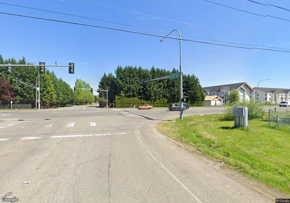
13302 NE 189th St Battle Ground, WA 98604
Estimated Value: $703,000 - $911,000
4
Beds
4
Baths
2,300
Sq Ft
$346/Sq Ft
Est. Value
About This Home
This home is located at 13302 NE 189th St, Battle Ground, WA 98604 and is currently estimated at $795,212, approximately $345 per square foot. 13302 NE 189th St is a home located in Clark County with nearby schools including Tukes Valley Primary School, Tukes Valley Middle School, and Battle Ground High School.
Ownership History
Date
Name
Owned For
Owner Type
Purchase Details
Closed on
Oct 21, 1999
Sold by
Williams Matthew E and Williams Joan A
Bought by
Westby Michael T and Westby Patricia A
Current Estimated Value
Home Financials for this Owner
Home Financials are based on the most recent Mortgage that was taken out on this home.
Original Mortgage
$240,000
Interest Rate
7.82%
Create a Home Valuation Report for This Property
The Home Valuation Report is an in-depth analysis detailing your home's value as well as a comparison with similar homes in the area
Home Values in the Area
Average Home Value in this Area
Purchase History
| Date | Buyer | Sale Price | Title Company |
|---|---|---|---|
| Westby Michael T | $254,900 | Transnation Title Insurance |
Source: Public Records
Mortgage History
| Date | Status | Borrower | Loan Amount |
|---|---|---|---|
| Open | Westby Michael T | $96,000 | |
| Open | Westby Michael T | $362,000 | |
| Closed | Westby Michael T | $392,155 | |
| Closed | Westby Michael T | $55,000 | |
| Closed | Westby Michael T | $417,000 | |
| Closed | Westby Patricia A | $135,000 | |
| Closed | Westby Michael T | $35,000 | |
| Closed | Westby Michael T | $264,000 | |
| Previous Owner | Westby Michael T | $240,000 |
Source: Public Records
Tax History Compared to Growth
Tax History
| Year | Tax Paid | Tax Assessment Tax Assessment Total Assessment is a certain percentage of the fair market value that is determined by local assessors to be the total taxable value of land and additions on the property. | Land | Improvement |
|---|---|---|---|---|
| 2025 | $6,165 | $785,776 | $292,321 | $493,455 |
| 2024 | $5,583 | $753,961 | $292,321 | $461,640 |
| 2023 | $5,124 | $700,778 | $220,754 | $480,024 |
| 2022 | $4,699 | $649,109 | $172,595 | $476,514 |
| 2021 | $4,736 | $516,810 | $134,726 | $382,084 |
| 2020 | $4,168 | $478,420 | $126,235 | $352,185 |
| 2019 | $3,468 | $476,865 | $133,448 | $343,417 |
| 2018 | $4,309 | $463,926 | $0 | $0 |
| 2017 | $3,368 | $424,037 | $0 | $0 |
| 2016 | $3,401 | $360,401 | $0 | $0 |
| 2015 | $3,431 | $333,936 | $0 | $0 |
| 2014 | -- | $319,673 | $0 | $0 |
| 2013 | -- | $280,924 | $0 | $0 |
Source: Public Records
Map
Nearby Homes
- 2511 S Parkway Ave
- 3115 SW 4th Ave
- 3201 SW 4th Ave
- 411 SW 32nd St
- 409 SW 31st St
- 622 SE 35th St
- 626 SE 35th St
- 632 SE 35th St
- 3416 SE Grace Ave
- 736 SE 35th St
- 729 SE 35th St
- Valerie Plan at Maple Grove - Seasons
- Vance Plan at Maple Grove - Seasons
- 812 SE 35th St
- 2810 SE Grace Ave
- Glenwood Plan at Woodin Creek Station
- Turquoise Plan at Woodin Creek Station
- Laurel Plan at Woodin Creek Station
- Dahlia Plan at Woodin Creek Station - Townhomes
- Nettle Plan at Woodin Creek Station - Townhomes
- 102 SE Merritt Dr
- 19017 NE 132nd Ave
- 2817 S Parkway Ave
- 13406 NE 189th St
- 206 SE Merritt Dr
- 102 SW 30th St
- 101 SW 30th St
- 3015 S Parkway Ave
- 2818 S Parkway Ave
- 2812 SE Merritt Dr
- 11 SW 28th Cir
- 11 SW 28th Cir
- 2715 S Parkway Ave
- 2919 SE Merritt Dr
- 2919 SE Merritt Dr
- 2710 SE Merritt Dr
- 19100 NE Merritt Dr
- 2618 S Parkway Ave
- 102 SW 28th Cir
- 2813 SE Merritt Dr
