13303 E Adam Aircraft Cir Unit C40 Englewood, CO 80112
Estimated Value: $253,072
--
Bed
--
Bath
796
Sq Ft
$318/Sq Ft
Est. Value
About This Home
This home is located at 13303 E Adam Aircraft Cir Unit C40, Englewood, CO 80112 and is currently estimated at $253,072, approximately $317 per square foot. 13303 E Adam Aircraft Cir Unit C40 is a home located in Arapahoe County with nearby schools including Red Hawk Ridge Elementary School, Liberty Middle School, and Grandview High School.
Ownership History
Date
Name
Owned For
Owner Type
Purchase Details
Closed on
Oct 30, 2020
Sold by
Sob Management Llc
Bought by
Patina House Llc
Current Estimated Value
Home Financials for this Owner
Home Financials are based on the most recent Mortgage that was taken out on this home.
Original Mortgage
$205,000
Interest Rate
2.65%
Mortgage Type
Commercial
Purchase Details
Closed on
Jun 16, 2020
Sold by
Dragonfly Properties Llc
Bought by
Sob Management Llc
Purchase Details
Closed on
Nov 25, 2019
Sold by
Cyber Perimeter Security Llc
Bought by
Dragonfly Properties Llc
Purchase Details
Closed on
Feb 19, 2016
Sold by
Broncos Parkway Partners Llc
Bought by
Cyber Perimeter Security Llc
Create a Home Valuation Report for This Property
The Home Valuation Report is an in-depth analysis detailing your home's value as well as a comparison with similar homes in the area
Home Values in the Area
Average Home Value in this Area
Purchase History
| Date | Buyer | Sale Price | Title Company |
|---|---|---|---|
| Patina House Llc | $205,000 | Colorado Escrow & Title | |
| Sob Management Llc | $195,000 | First American Title | |
| Dragonfly Properties Llc | $189,900 | First American Title | |
| Cyber Perimeter Security Llc | $127,995 | None Available |
Source: Public Records
Mortgage History
| Date | Status | Borrower | Loan Amount |
|---|---|---|---|
| Previous Owner | Patina House Llc | $205,000 |
Source: Public Records
Tax History Compared to Growth
Tax History
| Year | Tax Paid | Tax Assessment Tax Assessment Total Assessment is a certain percentage of the fair market value that is determined by local assessors to be the total taxable value of land and additions on the property. | Land | Improvement |
|---|---|---|---|---|
| 2024 | $4,828 | $47,151 | -- | -- |
| 2023 | $4,828 | $47,151 | $0 | $0 |
| 2022 | $5,536 | $49,631 | $0 | $0 |
| 2021 | $5,442 | $49,631 | $0 | $0 |
| 2020 | $4,641 | $40,397 | $0 | $0 |
| 2019 | $4,510 | $40,397 | $0 | $0 |
| 2018 | $4,167 | $34,626 | $0 | $0 |
| 2017 | $4,136 | $34,626 | $0 | $0 |
| 2016 | $3,880 | $30,009 | $0 | $0 |
| 2015 | $837 | $6,479 | $0 | $0 |
Source: Public Records
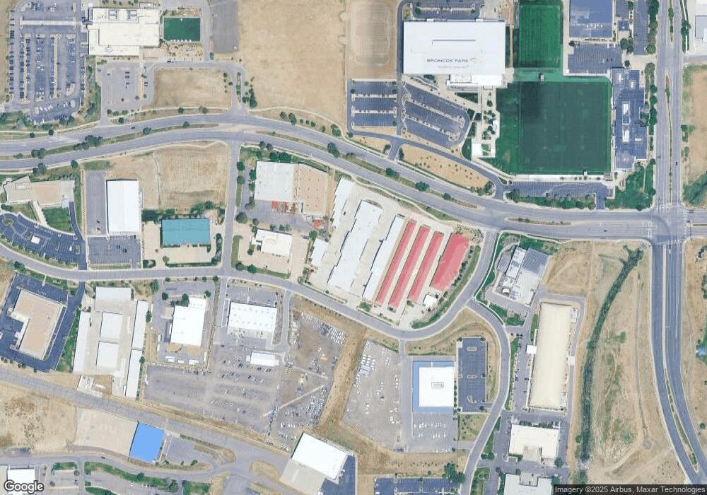
Map
Nearby Homes
- 7222 S Blackhawk St Unit 105
- 7212 S Blackhawk St Unit 1203
- 7440 S Blackhawk St Unit 4-305
- 7440 S Blackhawk St Unit 15-103
- 7440 S Blackhawk St Unit 9204
- 7440 S Blackhawk St Unit 14-202
- 7440 S Blackhawk St Unit 2-104
- 7440 S Blackhawk St Unit 14-103
- 6681 S Abilene Way
- 6526 S Abilene St
- 6471 S Potomac St
- 6473 S Abilene St
- 15700 E Jamison Dr Unit 105
- 15700 E Jamison Dr Unit 8-305
- 15700 E Jamison Dr Unit 7-101
- 15700 E Jamison Dr Unit 5-107
- 15700 E Jamison Dr Unit 8-102
- 15700 E Jamison Dr Unit 1307
- 11006 E Geddes Place
- Prentice Elite Plan at Heights at DTC
- 13303 E Adam Aircraft Cir Unit C39
- 13303 E Adam Aircraft Cir Unit 7
- 13303 E Adam Aircraft Cir Unit 6
- 13303 E Adam Aircraft Cir Unit 33
- 13303 E Adam Aircraft Cir Unit 44
- 13303 E Adam Aircraft Cir Unit C46
- 13303 E Adam Aircraft Cir Unit 32
- 13303 E Adam Aircraft Cir Unit 31
- 13303 E Adam Aircraft Cir Unit D60
- 13303 E Adam Aircraft Cir Unit 42
- 13303 E Adam Aircraft Cir Unit 38
- 13303 E Adam Aircraft Cir Unit 24
- 13303 E Adam Aircraft Cir Unit 30
- 13303 E Adam Aircraft Cir Unit 37
- 13303 E Adam Aircraft Cir Unit D62
- 13303 E Adam Aircraft Cir Unit 53
- 13303 E Adam Aircraft Cir Unit 35
- 13303 E Adam Aircraft Cir Unit 9
- 13303 E Adam Aircraft Cir Unit 25
- 13303 E Adam Aircraft Cir Unit 23