13304 Lake Branch Rd Breese, IL 62230
Estimated Value: $287,000
--
Bed
1
Bath
2,002
Sq Ft
$143/Sq Ft
Est. Value
About This Home
This home is located at 13304 Lake Branch Rd, Breese, IL 62230 and is currently priced at $287,000, approximately $143 per square foot. 13304 Lake Branch Rd is a home located in Clinton County with nearby schools including Breese ESD #12, Beckemeyer Elementary School, and Central Community High School.
Ownership History
Date
Name
Owned For
Owner Type
Purchase Details
Closed on
Mar 15, 2021
Sold by
Ratermann Michael F and Ratermann Virginia A
Bought by
Ratermann David G and Ratermann Linda M
Current Estimated Value
Purchase Details
Closed on
Dec 30, 2020
Sold by
Ratermann Michael F
Bought by
Huelsmann Mark V and Huelsmann Lisa K
Home Financials for this Owner
Home Financials are based on the most recent Mortgage that was taken out on this home.
Original Mortgage
$450,000
Outstanding Balance
$405,337
Interest Rate
3.25%
Mortgage Type
New Conventional
Purchase Details
Closed on
Apr 9, 2015
Sold by
Ratermann Virginia A
Bought by
Ratermann Virginia A
Create a Home Valuation Report for This Property
The Home Valuation Report is an in-depth analysis detailing your home's value as well as a comparison with similar homes in the area
Home Values in the Area
Average Home Value in this Area
Purchase History
| Date | Buyer | Sale Price | Title Company |
|---|---|---|---|
| Ratermann David G | -- | None Available | |
| Huelsmann Mark V | $500,000 | None Available | |
| Ratermann Virginia A | -- | None Available |
Source: Public Records
Mortgage History
| Date | Status | Borrower | Loan Amount |
|---|---|---|---|
| Open | Huelsmann Mark V | $450,000 |
Source: Public Records
Tax History Compared to Growth
Tax History
| Year | Tax Paid | Tax Assessment Tax Assessment Total Assessment is a certain percentage of the fair market value that is determined by local assessors to be the total taxable value of land and additions on the property. | Land | Improvement |
|---|---|---|---|---|
| 2020 | $2,140 | $70,210 | $28,570 | $41,640 |
| 2019 | $2,031 | $68,157 | $26,517 | $41,640 |
| 2018 | $2,092 | $64,879 | $24,854 | $40,025 |
| 2017 | $1,961 | $61,859 | $22,989 | $38,870 |
| 2016 | $1,898 | $60,340 | $21,470 | $38,870 |
| 2015 | -- | $58,947 | $20,077 | $38,870 |
| 2013 | -- | $56,338 | $16,598 | $39,740 |
Source: Public Records
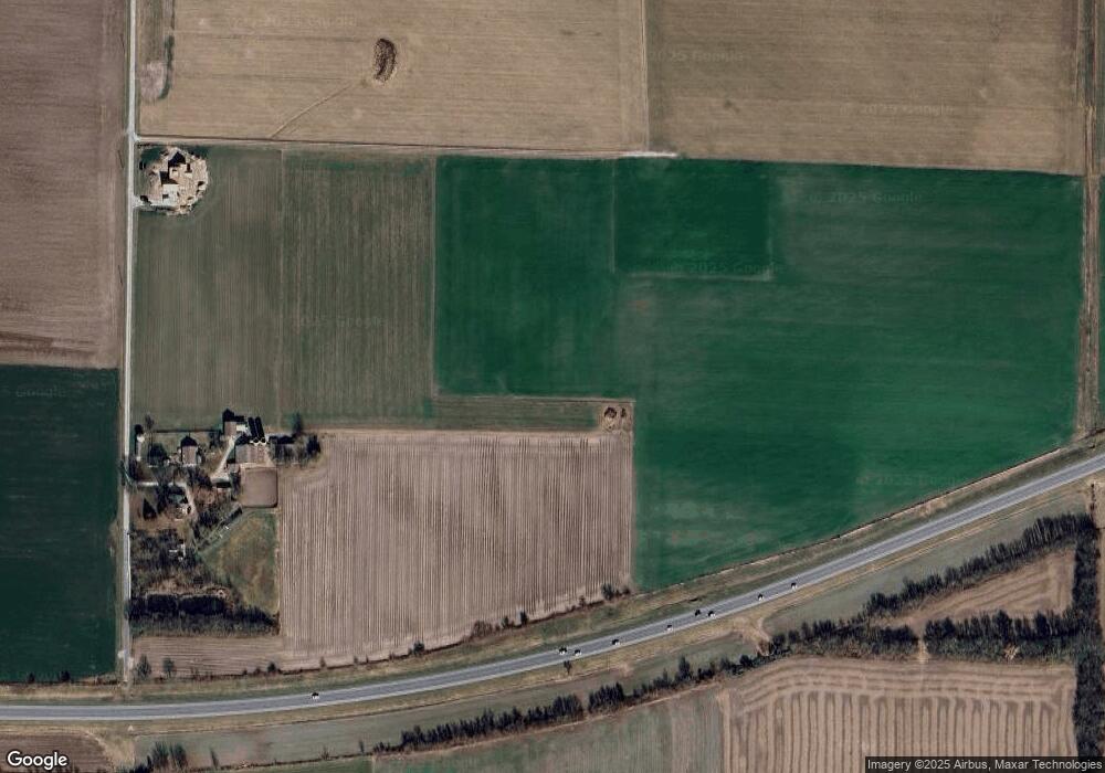
Map
Nearby Homes
- 751 E 4th St
- 10 S Hull St
- 436 S 2nd St
- 325 N Walnut St
- 429 S 6th St
- 620 S 6th St
- 290 N Elm St
- 923 N 6th St
- 13964 Best One Dr
- 13898 Lincoln Dr
- 126 Jefferson Dr
- 10675 Buckingham Ct
- 12702 Crestview Ln
- 00 Illinois 161
- 8130 Main St
- 12746 Rolling Hills Dr
- 3221 Venhaus Rd
- 3265 Venhaus Rd
- 630 Wedgewood Ln
- 1144 Emily Ln
- 13018 Linden Grove Rd
- 13012 Linden Grove Rd
- 13012 Linden Grove Rd
- 13006 Linden Grove Rd
- 7222 Old U S Highway 50
- 7222 Old Us Highway 50
- 6790 Old Us Highway 50
- 6703 Old Us Highway 50
- 7505 Old Us Highway 50
- 13820 Lake Branch Rd
- 13807 Lake Branch Rd
- 6606 Old Us Highway 50
- 6601 Old Us Highway 50
- 12626 Linden Grove Rd
- 14000 Lake Branch Rd
- 14000 Lake Branch Rd
- 12501 Linden Grove Rd
- 12501 Linden Grove Rd
- 12502 Linden Grove Rd
- 7020 Old State Rd