13304 W Bank Dr Millersport, OH 43046
Estimated Value: $373,000 - $673,000
3
Beds
1
Bath
1,608
Sq Ft
$314/Sq Ft
Est. Value
About This Home
This home is located at 13304 W Bank Dr, Millersport, OH 43046 and is currently estimated at $505,298, approximately $314 per square foot. 13304 W Bank Dr is a home located in Fairfield County with nearby schools including Millersport Elementary School and Millersport Jr/Sr High School.
Ownership History
Date
Name
Owned For
Owner Type
Purchase Details
Closed on
Mar 26, 2021
Sold by
Wolfe Victoria G
Bought by
Wolfe Victoria G and Victoria G Wolfe Revocable Tru
Current Estimated Value
Purchase Details
Closed on
Oct 29, 2020
Sold by
Wolfe Victoria G
Bought by
Victoria G Wolfe Revocable Tru
Purchase Details
Closed on
Oct 14, 2020
Sold by
Wolfe Victoria G
Bought by
Victoria G Wolfe Revocable Tru and Victoria G Wolfe Revocable Tru
Purchase Details
Closed on
Feb 29, 2016
Sold by
West Sharron K and Estate Of Miriam L Harper
Bought by
Wolfe Victoria G
Create a Home Valuation Report for This Property
The Home Valuation Report is an in-depth analysis detailing your home's value as well as a comparison with similar homes in the area
Home Values in the Area
Average Home Value in this Area
Purchase History
| Date | Buyer | Sale Price | Title Company |
|---|---|---|---|
| Wolfe Victoria G | -- | None Available | |
| Victoria G Wolfe Revocable Tru | -- | Pryor Stephen L | |
| Victoria G Wolfe Revocable Tru | -- | Pryor Stephen L | |
| Wolfe Victoria G | $200,000 | Amerititle |
Source: Public Records
Tax History Compared to Growth
Tax History
| Year | Tax Paid | Tax Assessment Tax Assessment Total Assessment is a certain percentage of the fair market value that is determined by local assessors to be the total taxable value of land and additions on the property. | Land | Improvement |
|---|---|---|---|---|
| 2024 | $5,095 | $84,780 | $84,780 | -- |
| 2023 | $3,423 | $84,780 | $84,780 | -- |
| 2022 | $3,441 | $84,780 | $84,780 | $0 |
| 2021 | $3,193 | $70,840 | $70,840 | $0 |
| 2020 | $3,205 | $70,840 | $70,840 | $0 |
| 2019 | $3,801 | $84,010 | $70,840 | $13,170 |
| 2018 | $3,802 | $76,030 | $66,940 | $9,090 |
| 2017 | $3,803 | $76,030 | $66,940 | $9,090 |
| 2016 | $3,723 | $76,030 | $66,940 | $9,090 |
| 2015 | $3,471 | $75,620 | $66,940 | $8,680 |
| 2014 | $2,803 | $75,620 | $66,940 | $8,680 |
| 2013 | $2,803 | $75,620 | $66,940 | $8,680 |
Source: Public Records
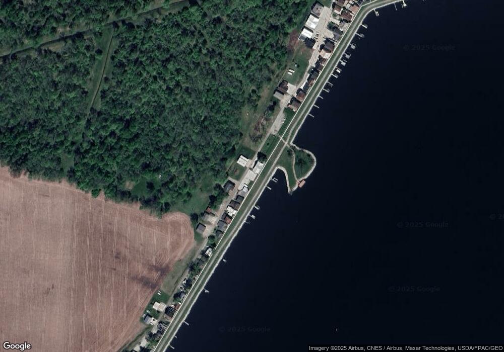
Map
Nearby Homes
- 13244 W Bank Dr NE
- 13404 W Bank Dr NE
- 13180 W Bank Dr NE
- 13474 W Bank Dr NE
- 13546 Hamilton St NE
- 3280 Shepard Ave
- 3308 Shepard Ave
- 13556 Richards St NE
- 12946 W Bank Dr NE
- 12580 W Bank Dr NE
- 3483 N Bank Rd
- 12656 W Bank Dr NE
- 12700 Onion Island NE
- 3863 N Bank Rd NE
- 2486 Mallard Point Ln
- 12291 Ohio Ave
- 2592 Summit St
- 4119 N Bank Rd NE
- 3621 S Bank Rd NE
- 2582 E Park St
- 13322 W Bank Dr NE
- 13284 W Bank Dr NE
- 13268 W Bank Dr NE
- 13260 W Bank Dr NE
- 13252 W Bank Dr NE
- 13232 W Bank Dr NE
- 13388 W Bank Dr NE
- 13216 W Bank Dr NE
- 13396 W Bank Dr NE
- 13198 W Bank Dr NE
- 13412 W Bank Dr NE
- 13418 W Bank Dr NE
- 13424 W Bank Dr NE
- 13430 W Bank Dr NE
- 13164 W Bank Dr NE
- 13436 W Bank Dr NE
- 13150 W Bank Dr NE
- 13444 W Bank Rd
- 13444 W Bank Dr NE
- 13142 W Bank Dr NE