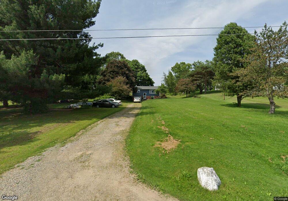
13305 Hatfield Rd Rittman, OH 44270
Estimated Value: $183,000 - $222,000
2
Beds
1
Bath
816
Sq Ft
$244/Sq Ft
Est. Value
About This Home
This home is located at 13305 Hatfield Rd, Rittman, OH 44270 and is currently estimated at $199,067, approximately $243 per square foot. 13305 Hatfield Rd is a home located in Wayne County with nearby schools including Hazel Harvey Elementary School, Chippewa Intermediate School, and Chippewa Jr./Sr. High School.
Ownership History
Date
Name
Owned For
Owner Type
Purchase Details
Closed on
Jun 29, 2001
Sold by
Matye Jeffrey E
Bought by
Ozbolt Bernard P and Ozbolt Carol L
Current Estimated Value
Home Financials for this Owner
Home Financials are based on the most recent Mortgage that was taken out on this home.
Original Mortgage
$76,500
Outstanding Balance
$29,567
Interest Rate
7.18%
Mortgage Type
New Conventional
Estimated Equity
$169,500
Purchase Details
Closed on
Aug 31, 1990
Sold by
Miller Barbara E
Bought by
Matye Jeffrey E and Matye Linda S
Create a Home Valuation Report for This Property
The Home Valuation Report is an in-depth analysis detailing your home's value as well as a comparison with similar homes in the area
Home Values in the Area
Average Home Value in this Area
Purchase History
| Date | Buyer | Sale Price | Title Company |
|---|---|---|---|
| Ozbolt Bernard P | $90,000 | -- | |
| Matye Jeffrey E | $50,000 | -- |
Source: Public Records
Mortgage History
| Date | Status | Borrower | Loan Amount |
|---|---|---|---|
| Open | Ozbolt Bernard P | $76,500 |
Source: Public Records
Tax History Compared to Growth
Tax History
| Year | Tax Paid | Tax Assessment Tax Assessment Total Assessment is a certain percentage of the fair market value that is determined by local assessors to be the total taxable value of land and additions on the property. | Land | Improvement |
|---|---|---|---|---|
| 2024 | $1,822 | $52,470 | $17,910 | $34,560 |
| 2023 | $1,822 | $52,470 | $17,910 | $34,560 |
| 2022 | $1,358 | $35,930 | $12,260 | $23,670 |
| 2021 | $1,367 | $35,930 | $12,260 | $23,670 |
| 2020 | $1,378 | $35,930 | $12,260 | $23,670 |
| 2019 | $1,159 | $29,180 | $10,930 | $18,250 |
| 2018 | $1,171 | $29,180 | $10,930 | $18,250 |
| 2017 | $1,144 | $29,180 | $10,930 | $18,250 |
| 2016 | $1,131 | $28,060 | $10,510 | $17,550 |
| 2015 | $1,126 | $28,060 | $10,510 | $17,550 |
| 2014 | $989 | $28,060 | $10,510 | $17,550 |
| 2013 | $1,009 | $27,750 | $9,880 | $17,870 |
Source: Public Records
Map
Nearby Homes
- 13293 Hatfield Rd
- 13729 Galehouse Rd
- 12160 Harvey Cir
- 0 Harvey Cir
- 13270 Doylestown Rd
- 15041 Doylestown Rd
- 10 Windsor Mews
- 0 E Ohio Ave Unit 5118655
- 0 Akron Rd Unit 5123781
- 0 S Portage St
- 500 W Clinton St
- 56 Salt St
- 54 Salt St
- 15500 Freedom Dr
- 970 Eastern Rd
- 15899 Mccallum Dr
- 53 Grant St
- 16 S State St
- 200 Industrial St
- 41 E Ohio Ave
- 13319 Hatfield Rd
- 13333 Hatfield Rd
- 13345 Hatfield Rd
- 13259 Hatfield Rd
- 13353 Hatfield Rd
- 13243 Hatfield Rd
- 13227 Hatfield Rd
- 0 Mt Eaton Rd Unit 3991963
- 13290 Mount Eaton Rd
- 13209 Hatfield Rd
- 13338 Mount Eaton Rd
- 13372 Mount Eaton Rd
- 13394 Mount Eaton Rd
- 13410 Mount Eaton Rd
- 13432 Mount Eaton Rd
- 13468 Mount Eaton Rd
- 13514 Mount Eaton Rd
- 13299 Mount Eaton Rd
- 13313 Mount Eaton Rd
- 13403 Hatfield Rd