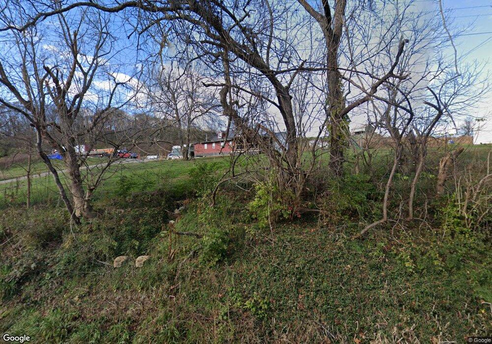
13305 State Route 139 Jackson, OH 45640
Estimated Value: $216,000 - $284,000
2
Beds
2
Baths
1,317
Sq Ft
$185/Sq Ft
Est. Value
About This Home
This home is located at 13305 State Route 139, Jackson, OH 45640 and is currently estimated at $243,532, approximately $184 per square foot. 13305 State Route 139 is a home with nearby schools including Jackson High School and Christian Life Academy.
Ownership History
Date
Name
Owned For
Owner Type
Purchase Details
Closed on
Aug 24, 2006
Sold by
Mcdonald David E and Mcdonald Amy J
Bought by
Varney Matthew E and Varney Jasmine D
Current Estimated Value
Home Financials for this Owner
Home Financials are based on the most recent Mortgage that was taken out on this home.
Original Mortgage
$125,000
Outstanding Balance
$31,650
Interest Rate
6.78%
Mortgage Type
New Conventional
Estimated Equity
$211,882
Purchase Details
Closed on
May 21, 2003
Bought by
Mennonite Foundation
Create a Home Valuation Report for This Property
The Home Valuation Report is an in-depth analysis detailing your home's value as well as a comparison with similar homes in the area
Home Values in the Area
Average Home Value in this Area
Purchase History
| Date | Buyer | Sale Price | Title Company |
|---|---|---|---|
| Varney Matthew E | $127,500 | None Available | |
| Mennonite Foundation | -- | -- |
Source: Public Records
Mortgage History
| Date | Status | Borrower | Loan Amount |
|---|---|---|---|
| Open | Varney Matthew E | $125,000 |
Source: Public Records
Tax History Compared to Growth
Tax History
| Year | Tax Paid | Tax Assessment Tax Assessment Total Assessment is a certain percentage of the fair market value that is determined by local assessors to be the total taxable value of land and additions on the property. | Land | Improvement |
|---|---|---|---|---|
| 2024 | $1,642 | $46,650 | $13,090 | $33,560 |
| 2023 | $1,673 | $46,650 | $13,090 | $33,560 |
| 2022 | $1,792 | $37,410 | $11,540 | $25,870 |
| 2021 | $1,442 | $37,410 | $11,540 | $25,870 |
| 2020 | $1,451 | $37,410 | $11,540 | $25,870 |
| 2019 | $1,340 | $34,000 | $10,490 | $23,510 |
| 2018 | $1,290 | $34,000 | $10,490 | $23,510 |
| 2017 | $1,115 | $34,000 | $10,490 | $23,510 |
| 2016 | $995 | $27,120 | $11,950 | $15,170 |
| 2015 | $1,001 | $27,120 | $11,950 | $15,170 |
| 2013 | $968 | $26,430 | $11,950 | $14,480 |
| 2012 | $983 | $26,430 | $11,950 | $14,480 |
Source: Public Records
Map
Nearby Homes
- 1953 Mayhew Rd
- 232 Florence Ave
- 11750 Ohio 776
- 11750 State Route 776
- 66 Grandview Ave
- 225 S David Ave
- 107 Redondo Dr
- 405 Redondo Dr
- 0 Main and Ballard St
- 75 W Huron St
- 205 S Bennett Ave
- 2380 Mayhew Rd
- 0 Lenhart Rd
- 10057 Ohio 776
- 111 Tropic St
- 51 Payne St
- 38 S High St
- 8 Fleetwood Ave
- 212 Watts Colony St
- 12 W South St
- 13383 State Route 139
- 13427 State Route 139
- 1006 Mayhew Rd
- 1056 Mayhew Rd
- 13467 State Route 139
- 13516 State Route 139
- 818 Mayhew Rd
- 0 Ohio 139 Unit Lot3 2528495
- 0 Ohio 139 Unit 11319441
- 6047 Ohio 139
- 0 Ohio 139 Unit 179448
- 0 Ohio 139 Unit 178158
- 12111 Ohio 139
- 9864 Ohio 139
- AA Ohio 139
- 0 Ohio 139 Unit 11186663
- 0 Ohio 139
- 13696 State Route 139
- 744 Mayhew Rd
- 1363 Mayhew Rd
