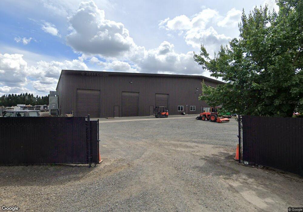
13306 Whiskey Hill Rd NE Hubbard, OR 97032
Estimated Value: $1,409,615
9
Beds
12
Baths
10,000
Sq Ft
$141/Sq Ft
Est. Value
About This Home
This home is located at 13306 Whiskey Hill Rd NE, Hubbard, OR 97032 and is currently estimated at $1,409,615, approximately $140 per square foot. 13306 Whiskey Hill Rd NE is a home located in Marion County with nearby schools including North Marion Primary School, North Marion Middle School, and North Marion High School.
Ownership History
Date
Name
Owned For
Owner Type
Purchase Details
Closed on
Jun 21, 2017
Sold by
Misericordia Ministry
Bought by
Meyerhofer Tracy and Meyerhofer Shane
Current Estimated Value
Purchase Details
Closed on
Jan 4, 2016
Sold by
Meyerhofer Daniel James
Bought by
Daniel & Jeanette Limited Partnership
Purchase Details
Closed on
Dec 20, 2011
Sold by
Meyerhofer Daniel J and Meyerhofer Jeanette M
Bought by
The Daniel & Jeanette Limited Partnershi
Create a Home Valuation Report for This Property
The Home Valuation Report is an in-depth analysis detailing your home's value as well as a comparison with similar homes in the area
Home Values in the Area
Average Home Value in this Area
Purchase History
| Date | Buyer | Sale Price | Title Company |
|---|---|---|---|
| Meyerhofer Tracy | -- | Fidelity Natl Title Co Of Or | |
| Daniel & Jeanette Limited Partnership | -- | None Available | |
| Daniel & Jeanette Limited Partnership | -- | None Available | |
| The Daniel & Jeanette Limited Partnershi | -- | None Available |
Source: Public Records
Mortgage History
| Date | Status | Borrower | Loan Amount |
|---|---|---|---|
| Closed | Meyerhofer Tracy | $0 |
Source: Public Records
Tax History Compared to Growth
Tax History
| Year | Tax Paid | Tax Assessment Tax Assessment Total Assessment is a certain percentage of the fair market value that is determined by local assessors to be the total taxable value of land and additions on the property. | Land | Improvement |
|---|---|---|---|---|
| 2025 | $8,278 | $755,480 | -- | -- |
| 2024 | $8,278 | $733,480 | -- | -- |
| 2023 | $7,974 | $712,120 | $0 | $0 |
| 2022 | $7,595 | $691,380 | $0 | $0 |
| 2021 | $6,851 | $629,370 | $0 | $0 |
| 2020 | $6,730 | $611,040 | $0 | $0 |
| 2019 | $6,028 | $593,250 | $0 | $0 |
| 2018 | $6,036 | $0 | $0 | $0 |
| 2017 | $2,947 | $0 | $0 | $0 |
| 2016 | $1,385 | $0 | $0 | $0 |
| 2015 | $1,357 | $0 | $0 | $0 |
| 2014 | $1,299 | $0 | $0 | $0 |
Source: Public Records
Map
Nearby Homes
- 17765 Monnier Rd NE
- 3197 Rainbow Loop Unit 10
- 3370 Maple St
- 3370 Maple St Unit 44
- 3472 Hoodview Dr
- 18767 Highway 99e
- 18767 Oregon 99e
- 2663 Baines Blvd
- 2663 Baines Bl
- 2514 Baines Blvd
- 2469 Dorsey Dr
- 2356 B St
- 2389 F St
- 2157 Dorsey Dr
- 2143 Dorsey (-2145) Dr
- 2143 Dorsey Dr
- 3766 10th St
- 3218 West Place
- 11623 Broadacres Rd NE
- 19601 Boones Ferry Rd NE
- 13306 Whiskey Hill Rd NE Unit 2
- 13326 Whiskey Hill Rd NE
- 13236 Whiskey Hill Rd NE
- 13346 Whiskey Hill Rd NE
- 17874 Shank Rd NE
- 17824 Shank Rd NE
- 17804 Shank Rd NE
- 17803 Shank Rd NE
- 2582 S Lydia Lp
- 2555 N Lydia Lp
- 2579 Lydia Lp N
- 2569 Lydia Lp N
- 2559 Lydia Lp N
- 2549 Lydia Lp N
- 2539 Lydia Lp N
- 2529 Lydia Lp N
- 2519 Lydia Lp N
- 2509 Lydia Lp N
- 2491 Lydia Lp N
- 2488 Lydia Lp S