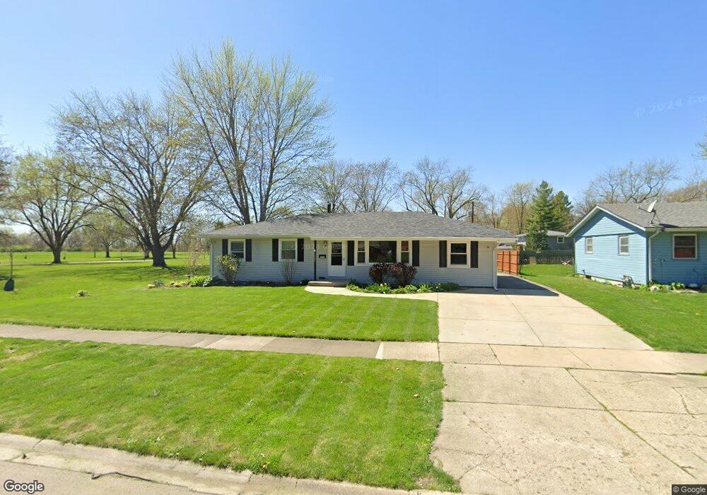
1331 Amber Dr Montgomery, IL 60538
Estimated Value: $287,000 - $311,000
4
Beds
1
Bath
1,352
Sq Ft
$221/Sq Ft
Est. Value
About This Home
This home is located at 1331 Amber Dr, Montgomery, IL 60538 and is currently estimated at $299,333, approximately $221 per square foot. 1331 Amber Dr is a home located in Kane County with nearby schools including Dieterich Elementary School, K D Waldo Middle School, and East Aurora High School.
Ownership History
Date
Name
Owned For
Owner Type
Purchase Details
Closed on
Oct 3, 2003
Sold by
Escudero Primitivo F and Rivera Luz N
Bought by
Lee Clifton and Winger Christine E
Current Estimated Value
Home Financials for this Owner
Home Financials are based on the most recent Mortgage that was taken out on this home.
Original Mortgage
$145,705
Interest Rate
6.07%
Mortgage Type
FHA
Create a Home Valuation Report for This Property
The Home Valuation Report is an in-depth analysis detailing your home's value as well as a comparison with similar homes in the area
Home Values in the Area
Average Home Value in this Area
Purchase History
| Date | Buyer | Sale Price | Title Company |
|---|---|---|---|
| Lee Clifton | $148,000 | Law Title Insurance Co Inc |
Source: Public Records
Mortgage History
| Date | Status | Borrower | Loan Amount |
|---|---|---|---|
| Previous Owner | Lee Clifton | $145,705 |
Source: Public Records
Tax History Compared to Growth
Tax History
| Year | Tax Paid | Tax Assessment Tax Assessment Total Assessment is a certain percentage of the fair market value that is determined by local assessors to be the total taxable value of land and additions on the property. | Land | Improvement |
|---|---|---|---|---|
| 2024 | $2,671 | $80,165 | $9,992 | $70,173 |
| 2023 | $2,765 | $71,627 | $8,928 | $62,699 |
| 2022 | $3,138 | $62,204 | $8,146 | $54,058 |
| 2021 | $3,341 | $57,913 | $7,584 | $50,329 |
| 2020 | $3,139 | $53,792 | $7,044 | $46,748 |
| 2019 | $3,057 | $49,839 | $6,526 | $43,313 |
| 2018 | $2,987 | $47,230 | $6,036 | $41,194 |
| 2017 | $2,946 | $43,853 | $6,953 | $36,900 |
| 2016 | $3,212 | $39,064 | $5,960 | $33,104 |
| 2015 | -- | $34,374 | $5,694 | $28,680 |
| 2014 | -- | $31,714 | $5,233 | $26,481 |
| 2013 | -- | $33,796 | $5,518 | $28,278 |
Source: Public Records
Map
Nearby Homes
- 1321 Raymond Dr
- 1150 Gates St
- 974 Garnet Ln
- 970 Garnet Ln
- 982 Garnet Ln
- 966 Garnet Ln
- 986 Garnet Ln
- 978 Garnet Ln
- 994 Garnet Ln
- 962 Garnet Ln
- 1042 Emerald Dr
- BELLAMY Plan at Marquis Pointe
- SIENNA Plan at Marquis Pointe
- HOLCOMBE Plan at Marquis Pointe
- HENLEY Plan at Marquis Pointe
- 1038 Emerald Dr
- 1130 S Spencer St
- 995 Celebration Dr
- 1011 Celebration Dr
- 1015 Celebration Dr