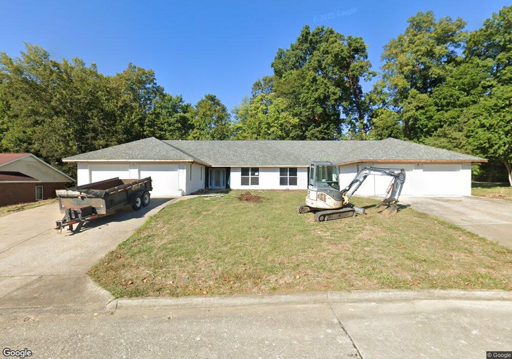
1331 Copper Dr Unit 1333 Cape Girardeau, MO 63701
Estimated Value: $264,000 - $374,667
2
Beds
4
Baths
3,386
Sq Ft
$91/Sq Ft
Est. Value
About This Home
This home is located at 1331 Copper Dr Unit 1333, Cape Girardeau, MO 63701 and is currently estimated at $308,417, approximately $91 per square foot. 1331 Copper Dr Unit 1333 is a home located in Cape Girardeau County with nearby schools including Clippard Elementary School, Central Middle School, and Central Junior High School.
Ownership History
Date
Name
Owned For
Owner Type
Purchase Details
Closed on
Sep 23, 2009
Sold by
Geittmann Carolyn A
Bought by
Phegley Farms Inc
Current Estimated Value
Home Financials for this Owner
Home Financials are based on the most recent Mortgage that was taken out on this home.
Original Mortgage
$225,000
Interest Rate
4.9%
Mortgage Type
Purchase Money Mortgage
Purchase Details
Closed on
Mar 6, 2006
Sold by
Gelttmann Carolyn A
Bought by
Gelttmann Carolyn A and The Carolyn A Gelttmann Voluntary Trust
Create a Home Valuation Report for This Property
The Home Valuation Report is an in-depth analysis detailing your home's value as well as a comparison with similar homes in the area
Home Values in the Area
Average Home Value in this Area
Purchase History
| Date | Buyer | Sale Price | Title Company |
|---|---|---|---|
| Phegley Farms Inc | -- | None Available | |
| Gelttmann Carolyn A | -- | Abstract And Title Co Inc |
Source: Public Records
Mortgage History
| Date | Status | Borrower | Loan Amount |
|---|---|---|---|
| Previous Owner | Phegley Farms Inc | $225,000 |
Source: Public Records
Tax History Compared to Growth
Tax History
| Year | Tax Paid | Tax Assessment Tax Assessment Total Assessment is a certain percentage of the fair market value that is determined by local assessors to be the total taxable value of land and additions on the property. | Land | Improvement |
|---|---|---|---|---|
| 2025 | $22 | $43,830 | $5,910 | $37,920 |
| 2024 | $22 | $41,740 | $5,630 | $36,110 |
| 2023 | $2,169 | $41,740 | $5,630 | $36,110 |
| 2022 | $2,000 | $38,470 | $5,190 | $33,280 |
| 2021 | $2,000 | $38,470 | $5,190 | $33,280 |
| 2020 | $2,006 | $38,470 | $5,190 | $33,280 |
| 2019 | $2,003 | $38,470 | $0 | $0 |
| 2018 | $1,999 | $38,470 | $0 | $0 |
| 2017 | $2,004 | $38,470 | $0 | $0 |
| 2016 | $1,996 | $38,470 | $0 | $0 |
| 2015 | $1,998 | $38,470 | $0 | $0 |
| 2014 | $2,008 | $38,470 | $0 | $0 |
Source: Public Records
Map
Nearby Homes
- 3036 Keystone Dr
- 3014 Keystone Dr
- 3022 Beavercreek Dr
- 3046 Beavercreek Dr
- 1000 N Mount Auburn Rd
- 3466 Hopper Rd
- 3269 Hopper Rd
- 901 Pheasant Cove Dr
- 807 Caribou Ct
- 1705 Paul Revere Dr
- 3552 Mill View Crossing
- 725 Old Mill Dr
- 1107 Dorothy St
- 1800 Silverthorne Trail
- 1070 Dorothy St
- 835 Lochinvar Ln
- 3002 Melrose Ave
- 3814 Carolewood Dr
- 1246 Marilyn Dr
- 3657 Engram St
- 1331 Copper Dr
- 1327 Copper Dr
- 3040 Keystone Dr
- 1337 Copper Dr
- 2911 Breckenridge Dr
- 3041 Keystone Dr
- 1319 Copper Dr
- 1345 N Mount Auburn Rd Unit A
- 2959 Beaver Creek Dr
- 3039 Keystone Dr
- 2965 Beaver Creek Dr
- 2971 Beavercreek Dr
- 2971 Beaver Creek Dr
- 2953 Beavercreek Dr
- 3024 Keystone Dr
- 3010 Keystone Dr
- 1335 N Mount Auburn Rd
- 2979 Beaver Creek Dr
- 1359 N Mount Auburn Rd
- 3035 Keystone Dr