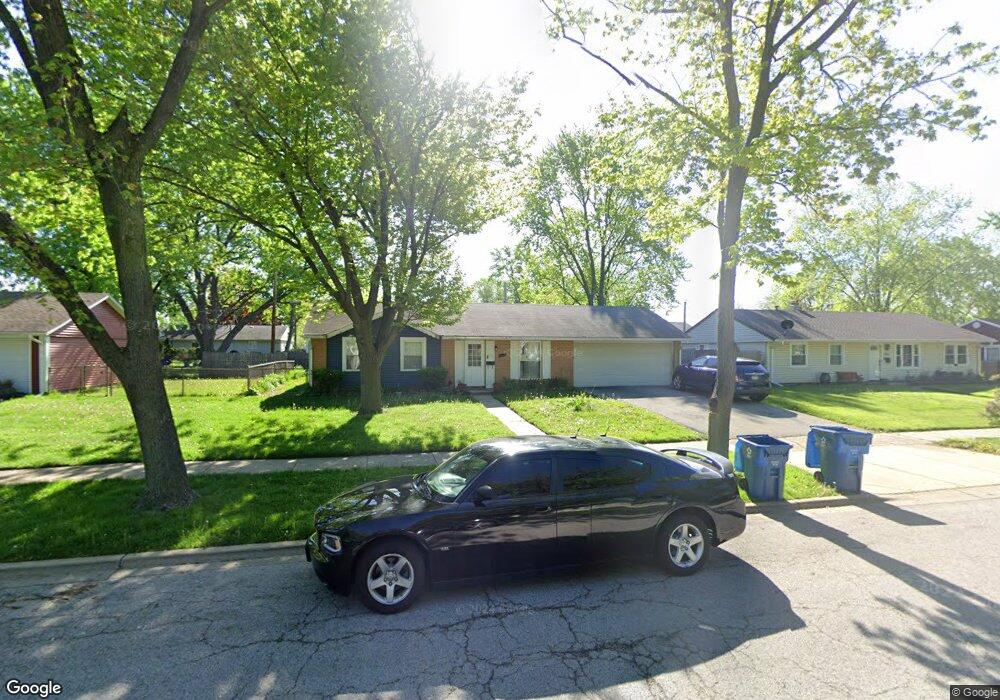
1331 Foran Ln Aurora, IL 60506
North River NeighborhoodEstimated Value: $255,769 - $271,000
3
Beds
1
Bath
925
Sq Ft
$286/Sq Ft
Est. Value
About This Home
This home is located at 1331 Foran Ln, Aurora, IL 60506 and is currently estimated at $264,692, approximately $286 per square foot. 1331 Foran Ln is a home located in Kane County with nearby schools including Smith Elementary School, Jewel Middle School, and West Aurora High School.
Ownership History
Date
Name
Owned For
Owner Type
Purchase Details
Closed on
Feb 15, 2018
Sold by
Parker Sylvester M
Bought by
Parker Connie D
Current Estimated Value
Purchase Details
Closed on
Dec 15, 2017
Sold by
Parker Connie D and Parker John S
Bought by
Parker Sylvester M
Create a Home Valuation Report for This Property
The Home Valuation Report is an in-depth analysis detailing your home's value as well as a comparison with similar homes in the area
Home Values in the Area
Average Home Value in this Area
Purchase History
| Date | Buyer | Sale Price | Title Company |
|---|---|---|---|
| Parker Connie D | -- | Attorney | |
| Parker Sylvester M | -- | Attorney | |
| Parker Sylvester M | -- | Attorney |
Source: Public Records
Tax History
| Year | Tax Paid | Tax Assessment Tax Assessment Total Assessment is a certain percentage of the fair market value that is determined by local assessors to be the total taxable value of land and additions on the property. | Land | Improvement |
|---|---|---|---|---|
| 2024 | $3,717 | $62,949 | $15,912 | $47,037 |
| 2023 | $3,447 | $56,244 | $14,217 | $42,027 |
| 2022 | $3,569 | $51,318 | $12,972 | $38,346 |
| 2021 | $3,360 | $47,778 | $12,077 | $35,701 |
| 2020 | $3,552 | $48,943 | $11,218 | $37,725 |
| 2019 | $3,359 | $45,347 | $10,394 | $34,953 |
| 2018 | $3,056 | $41,613 | $9,614 | $31,999 |
| 2017 | $2,729 | $37,521 | $8,858 | $28,663 |
| 2016 | $2,798 | $37,338 | $7,593 | $29,745 |
| 2015 | -- | $32,441 | $6,529 | $25,912 |
| 2014 | -- | $31,200 | $6,279 | $24,921 |
| 2013 | -- | $31,666 | $6,190 | $25,476 |
Source: Public Records
Map
Nearby Homes
- 1080 Scarlet Oak Cir
- 847 Foran Ln
- 837 Taylor Ave
- 833 Sheldon Ave
- 461 Sullivan Rd
- 1387 S Glen Cir Unit D
- 732 N Fordham Ave
- 833 N Randall Rd Unit C4
- 338 Lakelawn Blvd
- 1039 S Pleasure Ct
- 1061 S Pleasure Ct
- 418 W Illinois Ave
- 603 N May St
- 991 Sapphire Ln
- 959 Sapphire Ln
- 975 Sapphire Ln
- 963 Sapphire Ln
- 987 Sapphire Ln
- 1815 Brighton Cir
- 980 Sapphire Ln
- 1321 Foran Ln
- 1341 Foran Ln
- 934 Upper Brandon Dr Unit 2
- 1340 Post Rd
- 1330 Post Rd
- 1311 Foran Ln
- 1320 Post Rd Unit 1
- 1350 Post Rd
- 1330 Foran Ln
- 1320 Foran Ln
- 1291 Foran Ln
- 1310 Post Rd
- 1310 Foran Ln
- 970 Upper Brandon Dr
- 941 Upper Brandon Dr Unit 2
- 1335 N Elmwood Dr
- 1290 Foran Ln
- 1290 Post Rd
- 931 Upper Brandon Dr
- 1281 Foran Ln
Your Personal Tour Guide
Ask me questions while you tour the home.