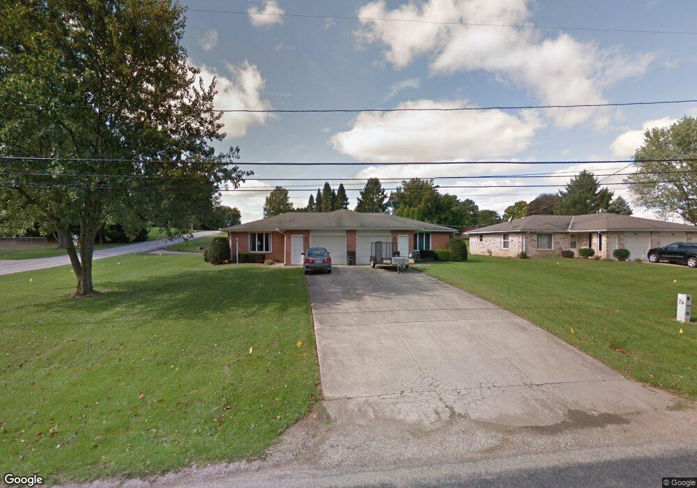
1331 N Stewart Rd Unit 1333 Mansfield, OH 44903
Estimated Value: $219,000 - $257,000
4
Beds
2
Baths
2,000
Sq Ft
$123/Sq Ft
Est. Value
About This Home
This home is located at 1331 N Stewart Rd Unit 1333, Mansfield, OH 44903 and is currently estimated at $245,571, approximately $122 per square foot. 1331 N Stewart Rd Unit 1333 is a home located in Richland County with nearby schools including Madison High School, Temple-Christian School, and St. Mary Catholic School.
Ownership History
Date
Name
Owned For
Owner Type
Purchase Details
Closed on
Feb 8, 2006
Sold by
Pate Jeffrey A and Pate Tracy L
Bought by
Parsons Dean W and Parsons Debra M
Current Estimated Value
Home Financials for this Owner
Home Financials are based on the most recent Mortgage that was taken out on this home.
Original Mortgage
$112,200
Interest Rate
6.34%
Mortgage Type
Fannie Mae Freddie Mac
Purchase Details
Closed on
Oct 2, 1992
Sold by
Zehnder Jeffery S
Bought by
Pate Jeffrey A and Pate Tracy L
Create a Home Valuation Report for This Property
The Home Valuation Report is an in-depth analysis detailing your home's value as well as a comparison with similar homes in the area
Home Values in the Area
Average Home Value in this Area
Purchase History
| Date | Buyer | Sale Price | Title Company |
|---|---|---|---|
| Parsons Dean W | $145,300 | Southern Title | |
| Pate Jeffrey A | $95,000 | -- |
Source: Public Records
Mortgage History
| Date | Status | Borrower | Loan Amount |
|---|---|---|---|
| Previous Owner | Parsons Dean W | $112,200 |
Source: Public Records
Tax History Compared to Growth
Tax History
| Year | Tax Paid | Tax Assessment Tax Assessment Total Assessment is a certain percentage of the fair market value that is determined by local assessors to be the total taxable value of land and additions on the property. | Land | Improvement |
|---|---|---|---|---|
| 2024 | $3,347 | $67,270 | $10,980 | $56,290 |
| 2023 | $3,347 | $67,270 | $10,980 | $56,290 |
| 2022 | $2,937 | $52,250 | $9,660 | $42,590 |
| 2021 | $2,917 | $52,250 | $9,660 | $42,590 |
| 2020 | $2,939 | $52,250 | $9,660 | $42,590 |
| 2019 | $2,803 | $44,270 | $8,180 | $36,090 |
| 2018 | $2,624 | $44,270 | $8,180 | $36,090 |
| 2017 | $2,571 | $44,270 | $8,180 | $36,090 |
| 2016 | $2,592 | $42,580 | $7,770 | $34,810 |
| 2015 | $2,476 | $42,580 | $7,770 | $34,810 |
| 2014 | $2,467 | $42,580 | $7,770 | $34,810 |
| 2012 | $1,166 | $42,580 | $8,180 | $34,400 |
Source: Public Records
Map
Nearby Homes
- 1245 N Stewart Rd
- 1158 Delwood Rd
- 1150 Delwood Dr
- 1151 Beal Rd
- 920 Piper Rd
- 1585 Beal Rd
- 1292 Wolford Rd
- 1106 Keller Dr Unit 1108
- 0 Hoover Rd
- 1140 5th Ave
- 0 Wesley
- 1171 Hoover Rd
- 1791 Beal Rd
- 735 Pennsylvania Ave
- 741 Yale Ave
- 903 Mayflower Ave
- 1199 Evergreen Ave W
- 1183 Evergreen Ave W
- 683 Coachman Rd
- 671 Coachman Rd
- 1341 N Stewart Rd
- 1051 Donnawood Dr
- 1315 N Stewart Rd
- 1359 N Stewart Rd
- 1041 Donnawood Dr
- 1334 N Stewart Rd
- 1305 N Stewart Rd
- 1050 Dianewood Dr
- 1349 N Stewart Rd
- 1352 N Stewart Rd
- 1040 Donnawood Dr
- 1031 Donnawood Dr
- 1314 N Stewart Rd
- 1040 Dianewood Dr
- 1295 N Stewart Rd
- 1270 N Stewart Rd
- 1360 N Stewart Rd
- 1032 Dianewood Dr
- 1049 Annfield Dr
- 1370 N Stewart Rd