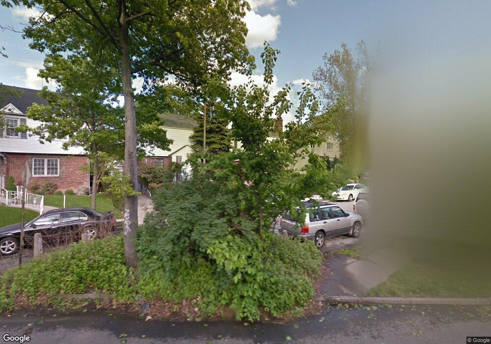
1331 Parsons Blvd Whitestone, NY 11357
Whitestone NeighborhoodEstimated Value: $1,006,000 - $1,065,000
--
Bed
--
Bath
1,426
Sq Ft
$723/Sq Ft
Est. Value
About This Home
This home is located at 1331 Parsons Blvd, Whitestone, NY 11357 and is currently estimated at $1,031,231, approximately $723 per square foot. 1331 Parsons Blvd is a home located in Queens County with nearby schools including Flushing High School, Holy Cross School Greek Orthodox Day School, and Holy Trinity School.
Ownership History
Date
Name
Owned For
Owner Type
Purchase Details
Closed on
Sep 16, 2022
Sold by
Dr Mathew P Kusulas As Trustee
Bought by
Dang Can Khai
Current Estimated Value
Purchase Details
Closed on
Nov 18, 2016
Sold by
Germanakos Kusulas Angela and Kusulas Theodore
Bought by
Dr Mathew P Kusulas Trustee and Kusulas Family Trust
Create a Home Valuation Report for This Property
The Home Valuation Report is an in-depth analysis detailing your home's value as well as a comparison with similar homes in the area
Home Values in the Area
Average Home Value in this Area
Purchase History
| Date | Buyer | Sale Price | Title Company |
|---|---|---|---|
| Dang Can Khai | $965,000 | -- | |
| Dr Mathew P Kusulas Trustee | -- | -- |
Source: Public Records
Tax History Compared to Growth
Tax History
| Year | Tax Paid | Tax Assessment Tax Assessment Total Assessment is a certain percentage of the fair market value that is determined by local assessors to be the total taxable value of land and additions on the property. | Land | Improvement |
|---|---|---|---|---|
| 2025 | $9,423 | $49,729 | $11,275 | $38,454 |
| 2024 | $9,423 | $46,915 | $10,637 | $36,278 |
| 2023 | $9,528 | $46,915 | $11,755 | $35,160 |
| 2022 | $8,561 | $55,380 | $13,440 | $41,940 |
| 2021 | $8,948 | $58,440 | $13,440 | $45,000 |
| 2020 | $8,476 | $54,720 | $13,440 | $41,280 |
| 2019 | $7,886 | $57,960 | $13,440 | $44,520 |
| 2018 | $7,672 | $39,096 | $9,602 | $29,494 |
| 2017 | $7,230 | $36,936 | $11,002 | $25,934 |
| 2016 | $7,008 | $36,936 | $11,002 | $25,934 |
| 2015 | $3,983 | $34,534 | $13,188 | $21,346 |
| 2014 | $3,983 | $32,580 | $14,940 | $17,640 |
Source: Public Records
Map
Nearby Homes
- 145-04 14th Ave
- 145-52 10th Ave
- 14-18 143rd St
- 915 Malba Dr
- 14703 10th Ave
- 141-37 11th Ave
- 12-35 148th St
- 12-39 148th St
- 2-07 Parsons Blvd
- 141-16 11th Ave
- 148 W 16th St Unit 7
- 147-20 17th Ave
- 1527 149th St
- 144-58 Boulevard
- 147-07 8th Ave
- 1535 149th St
- 14-33 140th St
- 16-12 149th St
- 14915 15th Rd
- 707 147th St
- 1335 Parsons Blvd
- 1327 Parsons Blvd
- 1323 Parsons Blvd
- 1330 145th Place
- 1322 145th Place
- 13-22 145th Place
- 1318 145th Place
- 1343 Parsons Blvd
- 1317 144th Place
- 1338 Parsons Blvd
- 13-17 144th Place
- 1317 144th Place
- 13-38 Parsons Blvd
- 1314 145th Place
- 13-44 Parsons Blvd
- 145-16 13th Rd
- 145-16 145 Place
- 1344 Parsons Blvd
- 1349 Parsons Blvd
- 1310 145th Place
