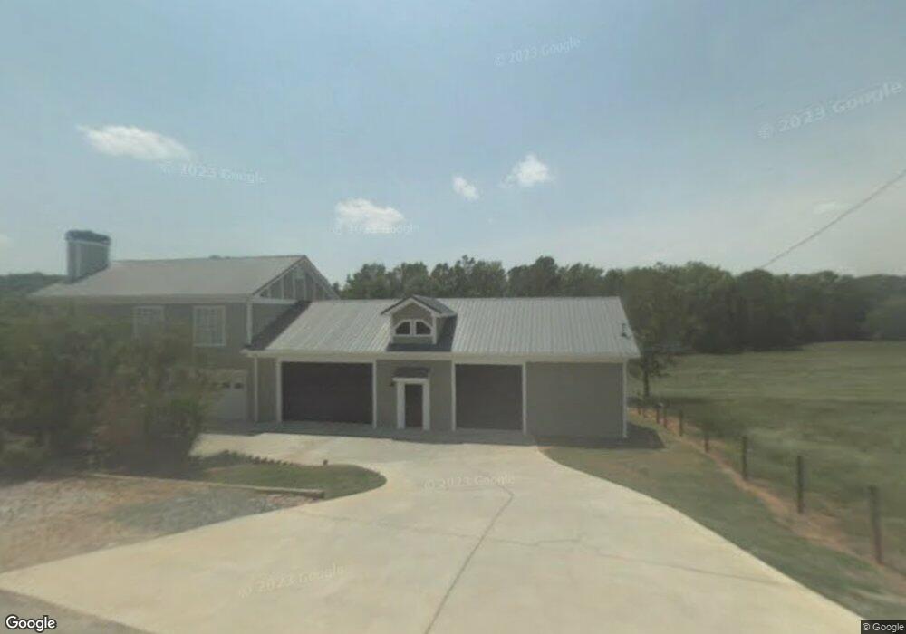
1331 Perry Sims Rd Winder, GA 30680
Estimated Value: $1,717,000 - $2,300,738
3
Beds
7
Baths
9,065
Sq Ft
$222/Sq Ft
Est. Value
About This Home
This home is located at 1331 Perry Sims Rd, Winder, GA 30680 and is currently estimated at $2,008,869, approximately $221 per square foot. 1331 Perry Sims Rd is a home located in Barrow County with nearby schools including Bethlehem Elementary School, Haymon-Morris Middle School, and Apalachee High School.
Ownership History
Date
Name
Owned For
Owner Type
Purchase Details
Closed on
Dec 11, 2023
Sold by
Ford Gregory L
Bought by
Ford Melinda Jane
Current Estimated Value
Purchase Details
Closed on
Jan 18, 2006
Sold by
Ford Gregory L And
Bought by
Ford Gregory L
Purchase Details
Closed on
May 2, 1995
Bought by
Ford Gregory L And
Purchase Details
Closed on
Oct 27, 1994
Bought by
Sims Stanley
Purchase Details
Closed on
Oct 1, 1994
Bought by
Sims Stanley And
Create a Home Valuation Report for This Property
The Home Valuation Report is an in-depth analysis detailing your home's value as well as a comparison with similar homes in the area
Home Values in the Area
Average Home Value in this Area
Purchase History
| Date | Buyer | Sale Price | Title Company |
|---|---|---|---|
| Ford Melinda Jane | $300,000 | -- | |
| Ford Gregory L | -- | -- | |
| Ford Gregory L And | $130,000 | -- | |
| Sims Stanley | -- | -- | |
| Sims Stanley And | -- | -- |
Source: Public Records
Tax History
| Year | Tax Paid | Tax Assessment Tax Assessment Total Assessment is a certain percentage of the fair market value that is determined by local assessors to be the total taxable value of land and additions on the property. | Land | Improvement |
|---|---|---|---|---|
| 2025 | $17,636 | $808,940 | $80,429 | $728,511 |
| 2024 | $17,715 | $791,098 | $80,429 | $710,669 |
| 2023 | $21,201 | $972,169 | $95,799 | $876,370 |
| 2022 | $18,506 | $736,350 | $95,799 | $640,551 |
| 2021 | $18,179 | $686,625 | $95,799 | $590,826 |
| 2020 | $16,682 | $624,633 | $84,311 | $540,322 |
| 2019 | $18,923 | $624,633 | $84,311 | $540,322 |
| 2018 | $18,812 | $624,755 | $84,311 | $540,444 |
| 2017 | $16,803 | $577,117 | $84,311 | $492,806 |
| 2016 | $15,203 | $507,940 | $95,563 | $412,377 |
| 2015 | $15,299 | $508,656 | $95,563 | $413,092 |
| 2014 | $13,380 | $477,394 | $60,205 | $417,190 |
| 2013 | -- | $440,093 | $60,204 | $379,888 |
Source: Public Records
Map
Nearby Homes
- 1210 Austin Rd
- 590 Manning Gin Rd
- 136 Bristol Blvd
- LOT 3 Manning Gin Rd
- LOT 1 Manning Gin Rd
- LOT 2 Manning Gin Rd
- LOT 4 Manning Gin Rd
- LOT 5 Manning Gin Rd
- 1015 Smith Chapel Rd
- 463 Gin Mill Dr
- 101 Westminster Ct
- 264 Westminster Ct
- 258 Westminster Ct
- 296 Westminster Trail
- 84 Martha Ann Ave
- 465 Cade Ct
- 1224 Dale Dr
- 1101 Kailie Dr
- 3207 Jack Glass Rd
- 3613 Perry Smith Rd NW
- 1407 Carson Trail
- 1556 Montana Ct
- 1405 Carson Trail
- 1334 Perry Sims Rd
- 1554 Montana Ct
- 1344 Perry Sims Rd
- 1324 Perry Sims Rd
- 1555 Montana Ct
- 1403 Carson Trail
- 1403 Carson Trail Unit 32
- 842 Alexis Way
- 1553 Montana Ct
- 1404 Carson Trail
- 1552 Montana Ct Unit 29
- 1552 Montana Ct
- 0000 Perry Sims Rd
- 0 Perry Sims Rd Unit 4167753
- 0 Perry Sims Rd Unit 4167749
- 0 Perry Sims Rd Unit 4167746
- 1356 Perry Sims Rd
Your Personal Tour Guide
Ask me questions while you tour the home.