Estimated Value: $129,000 - $140,000
2
Beds
1
Bath
726
Sq Ft
$186/Sq Ft
Est. Value
About This Home
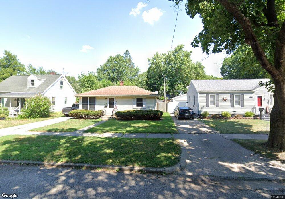
This home is located at 1331 Sheffield Ave, Niles, MI 49120 and is currently estimated at $134,901, approximately $185 per square foot. 1331 Sheffield Ave is a home located in Berrien County with nearby schools including Ballard Elementary School, Ring Lardner Middle School, and Oak Manor Sixth Grade Center.
Ownership History
Date
Name
Owned For
Owner Type
Purchase Details
Closed on
Jul 31, 2003
Sold by
Rolston Joy Ann
Bought by
Carter Ty E
Current Estimated Value
Home Financials for this Owner
Home Financials are based on the most recent Mortgage that was taken out on this home.
Original Mortgage
$55,000
Outstanding Balance
$24,343
Interest Rate
5.69%
Mortgage Type
Unknown
Estimated Equity
$110,558
Purchase Details
Closed on
Jun 13, 1988
Purchase Details
Closed on
Aug 7, 1986
Purchase Details
Closed on
Aug 13, 1981
Create a Home Valuation Report for This Property
The Home Valuation Report is an in-depth analysis detailing your home's value as well as a comparison with similar homes in the area
Home Values in the Area
Average Home Value in this Area
Purchase History
| Date | Buyer | Sale Price | Title Company |
|---|---|---|---|
| Carter Ty E | $65,000 | -- | |
| -- | $24,500 | -- | |
| -- | $25,300 | -- | |
| -- | $25,300 | -- |
Source: Public Records
Mortgage History
| Date | Status | Borrower | Loan Amount |
|---|---|---|---|
| Open | Carter Ty E | $55,000 |
Source: Public Records
Tax History Compared to Growth
Tax History
| Year | Tax Paid | Tax Assessment Tax Assessment Total Assessment is a certain percentage of the fair market value that is determined by local assessors to be the total taxable value of land and additions on the property. | Land | Improvement |
|---|---|---|---|---|
| 2025 | $1,017 | $44,700 | $0 | $0 |
| 2024 | $788 | $43,300 | $0 | $0 |
| 2023 | $756 | $37,000 | $0 | $0 |
| 2022 | $720 | $27,200 | $0 | $0 |
| 2021 | $890 | $24,300 | $2,300 | $22,000 |
| 2020 | $880 | $23,600 | $0 | $0 |
| 2019 | $869 | $23,200 | $1,600 | $21,600 |
| 2018 | $898 | $23,200 | $0 | $0 |
| 2017 | $931 | $27,400 | $0 | $0 |
| 2016 | $911 | $24,400 | $0 | $0 |
| 2015 | $908 | $24,000 | $0 | $0 |
| 2014 | $722 | $24,200 | $0 | $0 |
Source: Public Records
Map
Nearby Homes
- 1405 Sheffield Ave
- 501 & 505 N Twelfth St
- 622 N 13th St
- 645 N 11th St
- 1630 Forest Trail
- 712 Wayne St
- 1314 Ferry St
- 1123 N 9th St
- 1201 N 6th St
- 1603 N 5th St
- 1610 N 5th St
- 2802 Primrose Ct
- 810 Ferry St
- 31829 Heritage Place
- 211 N 8th St
- 921 Cedar St
- 1121 Broadway St
- 709 Regent St
- 1642 Cedar St
- 232 Pokagon St
- 1333 Sheffield Ave
- 1329 Sheffield Ave
- 1335 Sheffield Ave
- 1325 Sheffield Ave
- 1337 Sheffield Ave
- 1317 Sheffield Ave
- 1330 Sheridan Ave
- 1336 Sheridan Ave
- 1326 Sheridan Ave
- 1340 Sheridan Ave
- 1341 Sheffield Ave
- 1315 Sheffield Ave
- 1332 Sheffield Ave
- 1328 Sheffield Ave
- 1322 Sheridan Ave
- 1344 Sheridan Ave
- 1324 Sheffield Ave
- 1340 Sheffield Ave
- 1347 Sheffield Ave
- 1311 Sheffield Ave