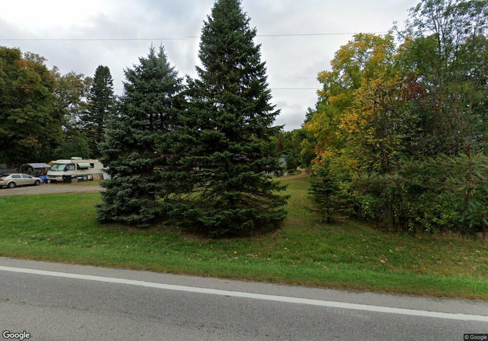
Estimated Value: $70,000 - $217,433
2
Beds
2
Baths
654
Sq Ft
$225/Sq Ft
Est. Value
About This Home
This home is located at 1331 Us Highway 20, Edon, OH 43518 and is currently estimated at $146,858, approximately $224 per square foot. 1331 Us Highway 20 is a home located in Williams County with nearby schools including Edon Elementary School.
Ownership History
Date
Name
Owned For
Owner Type
Purchase Details
Closed on
Sep 28, 2022
Sold by
Sheriff Of Williams County
Bought by
State Bank And Trust Company
Current Estimated Value
Purchase Details
Closed on
Jun 30, 2022
Sold by
Williams Circuit Court
Bought by
Statebank And Trust Company
Purchase Details
Closed on
Oct 15, 2010
Sold by
Edon State Bank Co
Bought by
Gonzales Matthew J
Home Financials for this Owner
Home Financials are based on the most recent Mortgage that was taken out on this home.
Original Mortgage
$45,000
Interest Rate
4.36%
Mortgage Type
New Conventional
Purchase Details
Closed on
Jul 12, 2010
Sold by
Wheeler Linda M
Bought by
Edon State Bank Co
Purchase Details
Closed on
Sep 24, 2002
Sold by
Johnson Linda F
Bought by
Wheeler Donald P and Wheeler Linda M
Purchase Details
Closed on
Jan 1, 1990
Bought by
Johnson Linda F
Create a Home Valuation Report for This Property
The Home Valuation Report is an in-depth analysis detailing your home's value as well as a comparison with similar homes in the area
Home Values in the Area
Average Home Value in this Area
Purchase History
| Date | Buyer | Sale Price | Title Company |
|---|---|---|---|
| State Bank And Trust Company | -- | -- | |
| State Bank And Trust Company | -- | None Listed On Document | |
| Statebank And Trust Company | -- | Weaner James K | |
| Statebank And Trust Company | -- | Weaner James K | |
| Gonzales Matthew J | $52,000 | None Available | |
| Edon State Bank Co | -- | None Available | |
| Wheeler Donald P | $74,000 | -- | |
| Johnson Linda F | -- | -- |
Source: Public Records
Mortgage History
| Date | Status | Borrower | Loan Amount |
|---|---|---|---|
| Previous Owner | Gonzales Matthew J | $45,000 |
Source: Public Records
Tax History Compared to Growth
Tax History
| Year | Tax Paid | Tax Assessment Tax Assessment Total Assessment is a certain percentage of the fair market value that is determined by local assessors to be the total taxable value of land and additions on the property. | Land | Improvement |
|---|---|---|---|---|
| 2024 | $2,126 | $71,160 | $12,250 | $58,910 |
| 2023 | $2,049 | $55,690 | $11,940 | $43,750 |
| 2022 | $2,333 | $55,690 | $11,940 | $43,750 |
| 2021 | $2,345 | $55,690 | $11,940 | $43,750 |
| 2020 | $2,038 | $46,450 | $9,980 | $36,470 |
| 2019 | $2,032 | $46,450 | $9,980 | $36,470 |
| 2018 | $2,073 | $46,450 | $9,980 | $36,470 |
| 2017 | $1,770 | $40,080 | $9,560 | $30,520 |
| 2016 | $1,555 | $40,080 | $9,560 | $30,520 |
| 2015 | $1,652 | $40,080 | $9,560 | $30,520 |
| 2014 | $1,652 | $40,080 | $9,560 | $30,520 |
| 2013 | $1,665 | $40,080 | $9,560 | $30,520 |
Source: Public Records
Map
Nearby Homes
- 1447 Us Highway 20
- 1827 Us Highway 20
- 00 County Road 150
- 7950 E Metz Rd
- 755 N Old State Road 1
- E Metz Road Lot Unit WP001
- Metz. Rd. E 0
- 17930 County Road 1 50
- 16702 Ohio 49
- 15297 County Road 5
- 7335 E 100 N
- 18405 County Road 2-50
- 5647 US Highway 20
- 2040 N 700 E
- 208 N Michigan St
- 7950 E 400 N
- 405 W Indiana St
- 409 E Indiana St
- 5-50 County Rd S
- 15791 Rice Rd
- 1331 Us Hwy 20
- 01531 Us Highway 20
- 0 Us Hwy 20 Unit 5014465
- 0 Us Hwy 20 Unit 5022476
- 0 Us Hwy 20 Unit 6040068
- 1326 Us Highway 20
- 1785 Us Highway 20 Unit 5
- 1447 Us Highway 20
- 1442 Us Highway 20
- 1231 Us Highway 20
- 1937 Us Highway 20
- 14873 County Road 1 50
- 1 Rd Rd
- 14999 County Road 150
- 14999 County Road 1 50
- 14857 County Road 1 50
- 14981 County Road 1 50
- 0 Us Highway 20
- 14878 County Road 1 50
- 14878 County Road 150
