13311 59th St S Wisconsin Rapids, WI 54494
Estimated Value: $171,478 - $243,000
--
Bed
--
Bath
--
Sq Ft
0.46
Acres
About This Home
This home is located at 13311 59th St S, Wisconsin Rapids, WI 54494 and is currently estimated at $214,620. 13311 59th St S is a home located in Wood County with nearby schools including Woodside Elementary School, East Junior High School, and Wisconsin Rapids Area Middle School.
Ownership History
Date
Name
Owned For
Owner Type
Purchase Details
Closed on
Jan 29, 2015
Sold by
Manke Ronald and Manke Ronald L
Bought by
Manke Ronald L and Albreacht Manke Janet M
Current Estimated Value
Purchase Details
Closed on
Jul 22, 2005
Sold by
Thomson Walter E
Bought by
Manke Ronald
Home Financials for this Owner
Home Financials are based on the most recent Mortgage that was taken out on this home.
Original Mortgage
$75,810
Interest Rate
5.74%
Mortgage Type
FHA
Create a Home Valuation Report for This Property
The Home Valuation Report is an in-depth analysis detailing your home's value as well as a comparison with similar homes in the area
Home Values in the Area
Average Home Value in this Area
Purchase History
| Date | Buyer | Sale Price | Title Company |
|---|---|---|---|
| Manke Ronald L | -- | Gowey Abstract & Title Co In | |
| Manke Ronald | $77,000 | Gowey Abstract & Title Co | |
| Manke Ronaldandjanet | $77,000 | -- |
Source: Public Records
Mortgage History
| Date | Status | Borrower | Loan Amount |
|---|---|---|---|
| Previous Owner | Manke Ronald | $75,810 |
Source: Public Records
Tax History Compared to Growth
Tax History
| Year | Tax Paid | Tax Assessment Tax Assessment Total Assessment is a certain percentage of the fair market value that is determined by local assessors to be the total taxable value of land and additions on the property. | Land | Improvement |
|---|---|---|---|---|
| 2024 | $1,536 | $110,300 | $8,400 | $101,900 |
| 2023 | $1,456 | $110,300 | $8,400 | $101,900 |
| 2022 | $1,471 | $110,300 | $8,400 | $101,900 |
| 2021 | $1,558 | $110,300 | $8,400 | $101,900 |
| 2020 | $1,752 | $93,200 | $8,400 | $84,800 |
| 2019 | $1,676 | $93,200 | $8,400 | $84,800 |
| 2018 | $1,650 | $93,200 | $8,400 | $84,800 |
| 2017 | $1,413 | $82,000 | $8,400 | $73,600 |
| 2016 | $1,473 | $82,000 | $8,400 | $73,600 |
| 2015 | $1,420 | $82,000 | $8,400 | $73,600 |
Source: Public Records
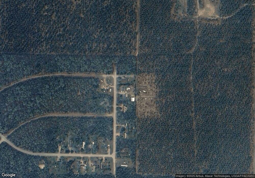
Map
Nearby Homes
- 4930 Wilderness Ln
- 40 AC Akron Dr Acres
- 7199 Mill Ave
- 57.71 AC County Line Rd
- 227 9th Ave
- 930 East Ct
- 3630 Ranger Rd
- 845 Kings Way
- 9820 State Highway 13 S
- 229 Derby Ct
- 857 Kings Way
- 000 64th St S Unit 11840 64th Street So
- 273 Penhurst Way
- 841 & 847 Sterling Rd
- 821 Rye Ct
- 328 & 326 York Ct
- 10140 S Young St
- 330 New Market Ct
- 928 Essex Ct
- 932 Sussex Ct
- 13331 59th St S
- 13237 59th St S
- 13330 59th St S
- 13282 59th St S
- 13411 59th St S
- 13421 59th St S
- 5851 Broadway St
- 5831 Broadway St
- 5811 Broadway St
- 13521 59th St S
- 5741 Broadway St
- 5850 Broadway St
- 5731 Broadway St
- 963 Shoreline Trail Unit 969 Shoreline Trail
- 5810 Broadway St
- 5730 Broadway St
- 5710 Broadway St
- 0 Manhattan Dr Unit 1507466
- 96-97 Manhattan Dr
- 96/97 Manhattan Dr