13311 White Tail Trail Austin, TX 78736
Estimated Value: $1,057,000 - $1,142,000
--
Bed
2
Baths
2,422
Sq Ft
$450/Sq Ft
Est. Value
About This Home
This home is located at 13311 White Tail Trail, Austin, TX 78736 and is currently estimated at $1,090,833, approximately $450 per square foot. 13311 White Tail Trail is a home located in Travis County with nearby schools including Baldwin Elementary School, Small Middle School, and James Bowie High School.
Ownership History
Date
Name
Owned For
Owner Type
Purchase Details
Closed on
Apr 8, 2015
Sold by
Hayn Louis
Bought by
Pokorny Philip and Ridgway Nancy M
Current Estimated Value
Purchase Details
Closed on
Jul 1, 2013
Sold by
Morgan J Larry W
Bought by
Morgan Dawn E and Morgan Larry W
Home Financials for this Owner
Home Financials are based on the most recent Mortgage that was taken out on this home.
Original Mortgage
$209,000
Interest Rate
3.54%
Mortgage Type
New Conventional
Purchase Details
Closed on
Mar 19, 2005
Sold by
Morgan Wanda Sallymae
Bought by
Morgan Larry W
Purchase Details
Closed on
May 27, 1998
Sold by
Estate Of Laurence W Morgan Sr
Bought by
Morgan Larry W
Create a Home Valuation Report for This Property
The Home Valuation Report is an in-depth analysis detailing your home's value as well as a comparison with similar homes in the area
Home Values in the Area
Average Home Value in this Area
Purchase History
| Date | Buyer | Sale Price | Title Company |
|---|---|---|---|
| Pokorny Philip | -- | None Available | |
| Morgan Dawn E | -- | -- | |
| Morgan Larry W | -- | None Available | |
| Morgan Larry W | -- | -- |
Source: Public Records
Mortgage History
| Date | Status | Borrower | Loan Amount |
|---|---|---|---|
| Previous Owner | Morgan Dawn E | $209,000 |
Source: Public Records
Tax History Compared to Growth
Tax History
| Year | Tax Paid | Tax Assessment Tax Assessment Total Assessment is a certain percentage of the fair market value that is determined by local assessors to be the total taxable value of land and additions on the property. | Land | Improvement |
|---|---|---|---|---|
| 2025 | $3,670 | $731,687 | -- | -- |
| 2023 | $3,246 | $604,700 | $0 | $0 |
| 2022 | $8,560 | $549,727 | $0 | $0 |
| 2021 | $8,499 | $499,752 | $176,800 | $493,900 |
| 2020 | $8,095 | $454,320 | $176,800 | $313,800 |
| 2018 | $7,018 | $375,471 | $176,800 | $313,828 |
| 2017 | $6,446 | $341,337 | $176,800 | $164,537 |
| 2016 | $6,446 | $341,337 | $176,800 | $164,537 |
| 2015 | $5,881 | $341,337 | $159,120 | $182,217 |
| 2014 | $5,881 | $324,013 | $159,120 | $164,893 |
Source: Public Records
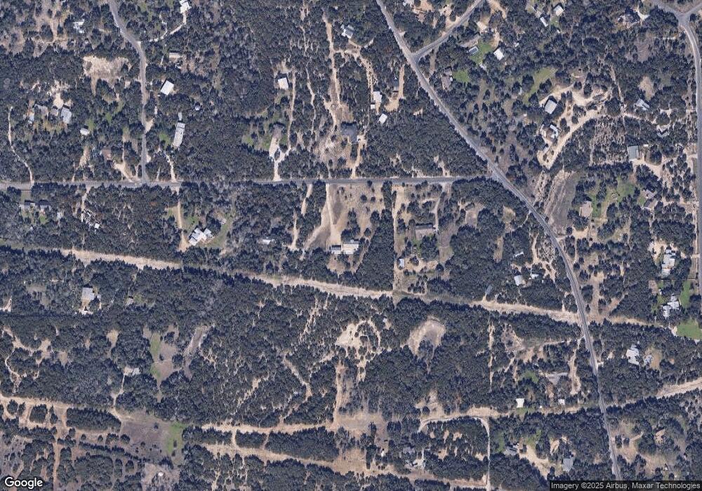
Map
Nearby Homes
- 10921 Long Branch Dr
- 13005 D Fitzhugh Rd
- 14610 Fitzhugh Rd
- TBD Fitzhugh Rd
- 190 Carol Ann Dr
- 12605 Fitzhugh Rd
- 12600 Trail Driver St
- 12621 Fitzhugh Rd
- 12609 Pauls Valley Rd
- 12904 Wells Fargo St
- 13400 Paisano Trail
- Tbd Fitzhugh Rd
- 15000 Fitzhugh Rd
- 5 Midnight Sky Dr
- 4 Midnight Sky Dr
- 13590 Paisano Trail
- 12290 Trautwein Rd
- 11809 Oak Branch Dr
- 16 Tall Oaks Trail
- 13601 Paisano Trail
- 13307 White Tail Trail
- 13409 White Tail Trail
- 13406 White Tail Trail
- 13312 White Tail Trail
- 13411 White Tail Trail
- 10982 Long Branch Dr
- 10994 Long Branch Dr
- 10957 Long Branch Dr
- 11100 Long Branch Dr
- 00000 Long Branch Dr
- 10993 Long Branch Dr
- 13500 White Tail Trail
- 13000 Fitzhugh Rd
- 10992 Long Branch Dr
- 10999 Long Branch Dr
- 10903 Long Branch Dr
- 10902 Long Branch Dr
- 11003 Long Branch Dr
- 11114 Long Branch Dr
- 13410 Fitzhugh Rd