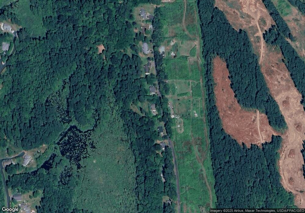
13312 131st Ave NE Lake Stevens, WA 98258
Estimated Value: $719,000 - $906,000
--
Bed
3
Baths
702
Sq Ft
$1,196/Sq Ft
Est. Value
About This Home
This home is located at 13312 131st Ave NE, Lake Stevens, WA 98258 and is currently estimated at $839,590, approximately $1,195 per square foot. 13312 131st Ave NE is a home located in Snohomish County with nearby schools including Mountain Way Elementary School, Granite Falls Middle School, and Granite Falls High School.
Ownership History
Date
Name
Owned For
Owner Type
Purchase Details
Closed on
Sep 22, 2003
Sold by
Frontier Air Park Investors Lp
Bought by
Ross Ian A and Ross Karen D
Current Estimated Value
Home Financials for this Owner
Home Financials are based on the most recent Mortgage that was taken out on this home.
Original Mortgage
$220,981
Outstanding Balance
$102,019
Interest Rate
6.17%
Mortgage Type
FHA
Estimated Equity
$737,571
Create a Home Valuation Report for This Property
The Home Valuation Report is an in-depth analysis detailing your home's value as well as a comparison with similar homes in the area
Home Values in the Area
Average Home Value in this Area
Purchase History
| Date | Buyer | Sale Price | Title Company |
|---|---|---|---|
| Ross Ian A | $224,450 | Pnwt |
Source: Public Records
Mortgage History
| Date | Status | Borrower | Loan Amount |
|---|---|---|---|
| Open | Ross Ian A | $220,981 |
Source: Public Records
Tax History Compared to Growth
Tax History
| Year | Tax Paid | Tax Assessment Tax Assessment Total Assessment is a certain percentage of the fair market value that is determined by local assessors to be the total taxable value of land and additions on the property. | Land | Improvement |
|---|---|---|---|---|
| 2025 | $5,635 | $698,800 | $329,600 | $369,200 |
| 2024 | $5,635 | $670,300 | $312,900 | $357,400 |
| 2023 | $5,466 | $678,500 | $312,900 | $365,600 |
| 2022 | $4,956 | $493,500 | $194,100 | $299,400 |
| 2020 | $4,948 | $413,000 | $151,400 | $261,600 |
| 2019 | $4,269 | $405,000 | $151,400 | $253,600 |
| 2018 | $4,558 | $353,800 | $134,300 | $219,500 |
| 2017 | $3,910 | $303,700 | $96,500 | $207,200 |
| 2016 | $3,922 | $286,900 | $88,500 | $198,400 |
| 2015 | $3,918 | $265,900 | $86,100 | $179,800 |
| 2013 | $3,903 | $236,600 | $80,100 | $156,500 |
Source: Public Records
Map
Nearby Homes
- 11928 137th Dr NE
- 11828 138th St NE
- 11504 128th Dr NE
- 11309 127th Ave NE
- 14517 117th St NE
- 15303 117th Dr NE
- 10426 134th Ave NE Unit 108
- 10406 134th Ave NE Unit 107
- 10603 134th Ave NE Unit 102
- 10717 132nd Ave NE Unit 1
- 11731 108th St NE
- 10526 134th Dr NE Unit 110
- Hastings Plan at Kokanee Estates
- Harris Plan at Kokanee Estates
- Harmon Plan at Kokanee Estates
- 10623 134th Ave NE
- 10527 134th Ave NE Unit 103
- 10527 134th Ave NE
- 10610 134th Ave NE
- 10423 134th Ave NE
- 13324 131st Ave NE
- 13324 131st Ave NE
- 13226 131st Ave NE
- 13202 131st Ave NE
- 13418 131st Ave NE
- 13418 131st Ave NE
- 13430 131st Ave NE
- 13112 131st Ave NE
- 13516 131st Ave NE
- 13532 131 Ne Lot 244 Ave
- 13020 131st Ave NE
- 13532 131st Ave NE
- 13219 127th Dr NE
- 13219 127th Dr NE
- 12919 129th St NE
- 12919 129th St NE
- 12831 129th St NE
- 12831 129th St NE
- 12825 129th St NE
- 13416 127th Dr NE
