13312 Upper Hastings Way Carrollton, VA 23314
Estimated Value: $326,000 - $397,000
3
Beds
3
Baths
2,365
Sq Ft
$153/Sq Ft
Est. Value
About This Home
This home is located at 13312 Upper Hastings Way, Carrollton, VA 23314 and is currently estimated at $362,344, approximately $153 per square foot. 13312 Upper Hastings Way is a home located in Isle of Wight County with nearby schools including Carrollton Elementary School, Smithfield Middle School, and Smithfield High School.
Ownership History
Date
Name
Owned For
Owner Type
Purchase Details
Closed on
Jun 8, 2021
Sold by
Cottrell Cheryl L
Bought by
Wennberg Peder K
Current Estimated Value
Home Financials for this Owner
Home Financials are based on the most recent Mortgage that was taken out on this home.
Original Mortgage
$221,000
Outstanding Balance
$199,652
Interest Rate
2.9%
Mortgage Type
New Conventional
Estimated Equity
$162,692
Purchase Details
Closed on
Jun 2, 2006
Sold by
Tracey Robert W
Purchase Details
Closed on
Aug 19, 2005
Create a Home Valuation Report for This Property
The Home Valuation Report is an in-depth analysis detailing your home's value as well as a comparison with similar homes in the area
Home Values in the Area
Average Home Value in this Area
Purchase History
| Date | Buyer | Sale Price | Title Company |
|---|---|---|---|
| Wennberg Peder K | $267,500 | Fidelity National Title | |
| -- | $295,000 | -- | |
| -- | $265,800 | -- |
Source: Public Records
Mortgage History
| Date | Status | Borrower | Loan Amount |
|---|---|---|---|
| Open | Wennberg Peder K | $221,000 |
Source: Public Records
Tax History Compared to Growth
Tax History
| Year | Tax Paid | Tax Assessment Tax Assessment Total Assessment is a certain percentage of the fair market value that is determined by local assessors to be the total taxable value of land and additions on the property. | Land | Improvement |
|---|---|---|---|---|
| 2025 | $2,425 | $312,900 | $0 | $312,900 |
| 2024 | $2,284 | $312,900 | $0 | $312,900 |
| 2023 | $2,276 | $312,900 | $0 | $312,900 |
| 2022 | $2,198 | $252,200 | $0 | $252,200 |
| 2021 | $2,198 | $252,200 | $0 | $252,200 |
| 2020 | $2,198 | $252,200 | $0 | $252,200 |
| 2019 | $2,198 | $252,200 | $0 | $252,200 |
| 2018 | $2,012 | $230,400 | $0 | $230,400 |
| 2016 | $2,030 | $230,400 | $0 | $230,400 |
| 2015 | $2,172 | $230,400 | $0 | $230,400 |
| 2014 | $2,172 | $247,100 | $0 | $247,100 |
| 2013 | -- | $247,100 | $0 | $247,100 |
Source: Public Records
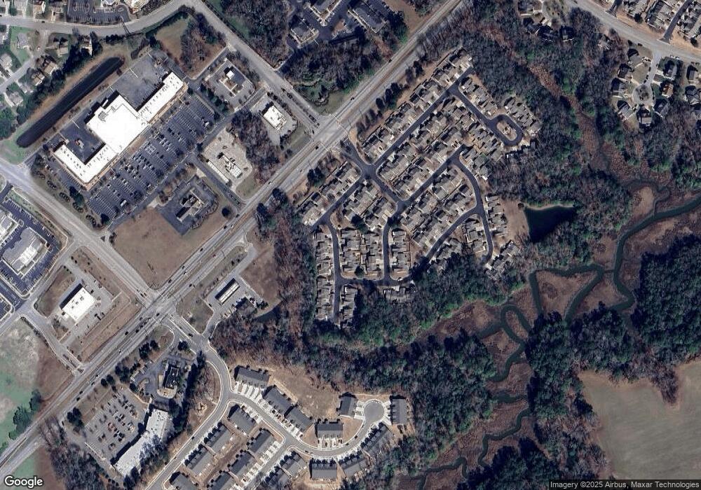
Map
Nearby Homes
- 13435 Prince Andrew Trail
- 13436 Prince Andrew Trail
- 13418 Bentley Heath Way Unit 97
- 13447 Bentley Heath Way
- 13461 Prince Andrew Trail
- 13309 Regent Park Walk
- 23088 Preserve Place
- 13434 Waters Edge Ct
- Caroline Plan at South Harbor - Towns 55 Plus
- 13554 S Village Way
- Palladio 2 Story Plan at South Harbor - Single-Family 55 Plus
- Bramante 2 Story Plan at South Harbor - Single-Family 55 Plus
- Palladio Ranch Plan at South Harbor - Single-Family 55 Plus
- 13559 S Village Way
- 911 Overlook Terrace
- 3.42AC Smiths Neck Rd
- 22346 Tradewinds Dr
- 1509 Broad Water Arch
- 13032 Lighthouse Ln
- 1013 Point Way
- 13312 Upper Hastings Way Unit RENT
- 13312 Upper Hastings Way Unit Way
- 13314 Upper Hastings Way
- 13304 Upper Hastings Way
- 13302 Upper Hastings Way
- 13311 Upper Hastings Way
- 13413 Prince Andrew Trail
- 13303 Upper Hastings Way
- 13411 Prince Andrew Trail
- 13313 Upper Hastings Way Unit 113
- 13313 Upper Hastings Way
- 13403 Prince Andrew Trail
- 13412 High Gate Mews
- 13301 Upper Hastings Way
- 13401 Prince Andrew Trail
- 13415 Prince Andrew Trail
- 13417 Prince Andrew Trail
- 13299 Upper Hastings Way
- 13412 Prince Andrew Trail
- 13294 Upper Hastings Way