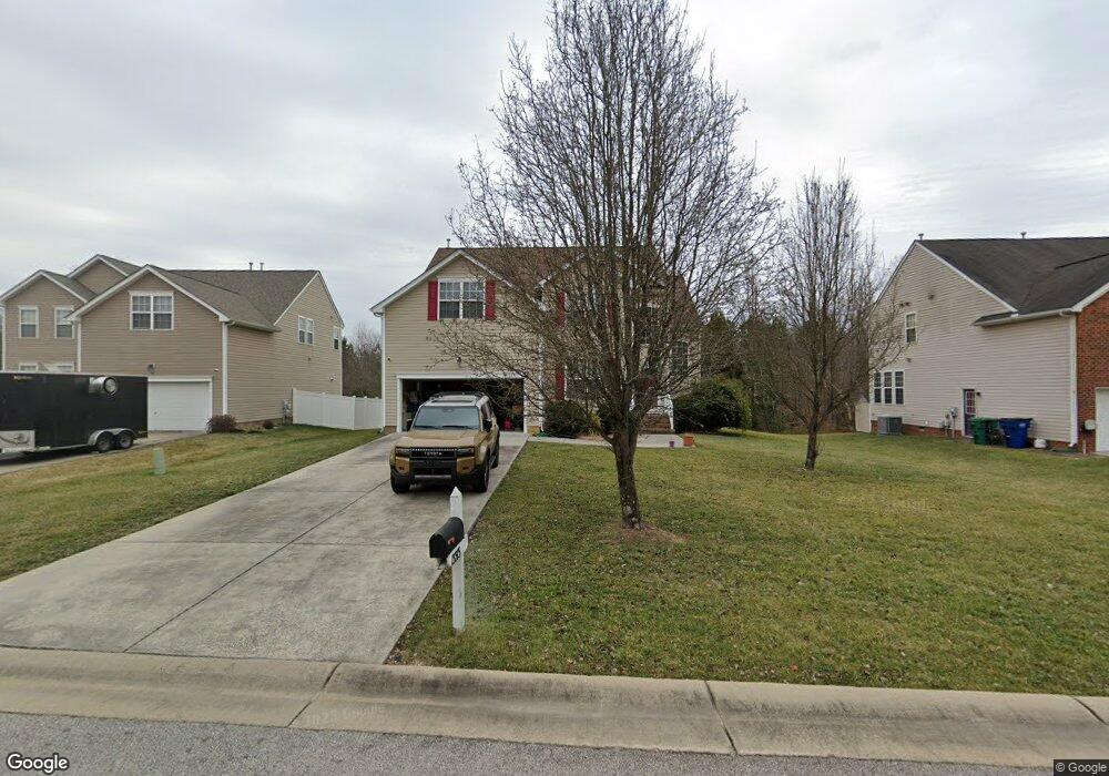
13313 Rossington Place Chester, VA 23831
Estimated Value: $442,000 - $444,000
5
Beds
3
Baths
2,650
Sq Ft
$167/Sq Ft
Est. Value
About This Home
This home is located at 13313 Rossington Place, Chester, VA 23831 and is currently estimated at $442,833, approximately $167 per square foot. 13313 Rossington Place is a home located in Chesterfield County with nearby schools including C.C. Wells Elementary School, George W. Carver Middle School, and Thomas Dale High School - Main Campus.
Ownership History
Date
Name
Owned For
Owner Type
Purchase Details
Closed on
Mar 3, 2008
Sold by
Centex Homes
Bought by
Wray David S
Current Estimated Value
Home Financials for this Owner
Home Financials are based on the most recent Mortgage that was taken out on this home.
Original Mortgage
$327,589
Outstanding Balance
$202,214
Interest Rate
5.57%
Mortgage Type
New Conventional
Estimated Equity
$240,619
Create a Home Valuation Report for This Property
The Home Valuation Report is an in-depth analysis detailing your home's value as well as a comparison with similar homes in the area
Home Values in the Area
Average Home Value in this Area
Purchase History
| Date | Buyer | Sale Price | Title Company |
|---|---|---|---|
| Wray David S | $327,589 | -- |
Source: Public Records
Mortgage History
| Date | Status | Borrower | Loan Amount |
|---|---|---|---|
| Open | Wray David S | $327,589 |
Source: Public Records
Tax History Compared to Growth
Tax History
| Year | Tax Paid | Tax Assessment Tax Assessment Total Assessment is a certain percentage of the fair market value that is determined by local assessors to be the total taxable value of land and additions on the property. | Land | Improvement |
|---|---|---|---|---|
| 2025 | $3,611 | $402,900 | $69,000 | $333,900 |
| 2024 | $3,611 | $378,600 | $67,000 | $311,600 |
| 2023 | $3,332 | $366,200 | $67,000 | $299,200 |
| 2022 | $2,996 | $325,600 | $57,000 | $268,600 |
| 2021 | $2,858 | $293,900 | $54,000 | $239,900 |
| 2020 | $2,664 | $280,400 | $52,000 | $228,400 |
| 2019 | $2,543 | $267,700 | $50,000 | $217,700 |
| 2018 | $2,463 | $259,300 | $48,000 | $211,300 |
| 2017 | $2,420 | $252,100 | $46,000 | $206,100 |
| 2016 | $2,365 | $246,400 | $46,000 | $200,400 |
| 2015 | $2,317 | $238,700 | $44,000 | $194,700 |
| 2014 | $2,307 | $237,700 | $44,000 | $193,700 |
Source: Public Records
Map
Nearby Homes
- 13455 Greenham Ct
- 13525 Thornsett Ln
- 3019 Burley Ridge Terrace
- 12805 Gloria Ct
- 4101 Cresthill Rd
- 14024 Ramsey Ct
- 12869 Richmond St
- 4204 N Cresthill Ct
- 4241 Daniels St
- 3005 Cicero Pkwy
- 2955 Sand Hills Dr
- 13637 Laketree Dr
- 14203 Sonnenburg Dr
- 12731 Percival St
- 2824 Feddo Ct
- 4313 Milsmith Rd
- 14106 Thrushwood Turn
- 4333 Milsmith Rd
- 4312 Erlene Ct
- 13731 Nile Rd
- 13325 Rossington Place
- 13306 Rossington Place
- 13307 Rossington Place
- 13312 Rossington Place
- 13301 Rossington Place
- 13300 Rossington Place
- 13318 Rossington Place
- 3601 Rossington Blvd
- 13324 Rossington Place
- 13454 Greenham Ct
- 3466 Ellenbrook Dr
- 13330 Rossington Place
- 3460 Ellenbrook Dr
- 13216 Sir Scott Dr
- 13336 Rossington Place
- 13209 Sir Scott Dr
- 13212 Sir Scott Dr
- 13448 Greenham Ct
- 3454 Ellenbrook Dr
- 13449 Greenham Ct