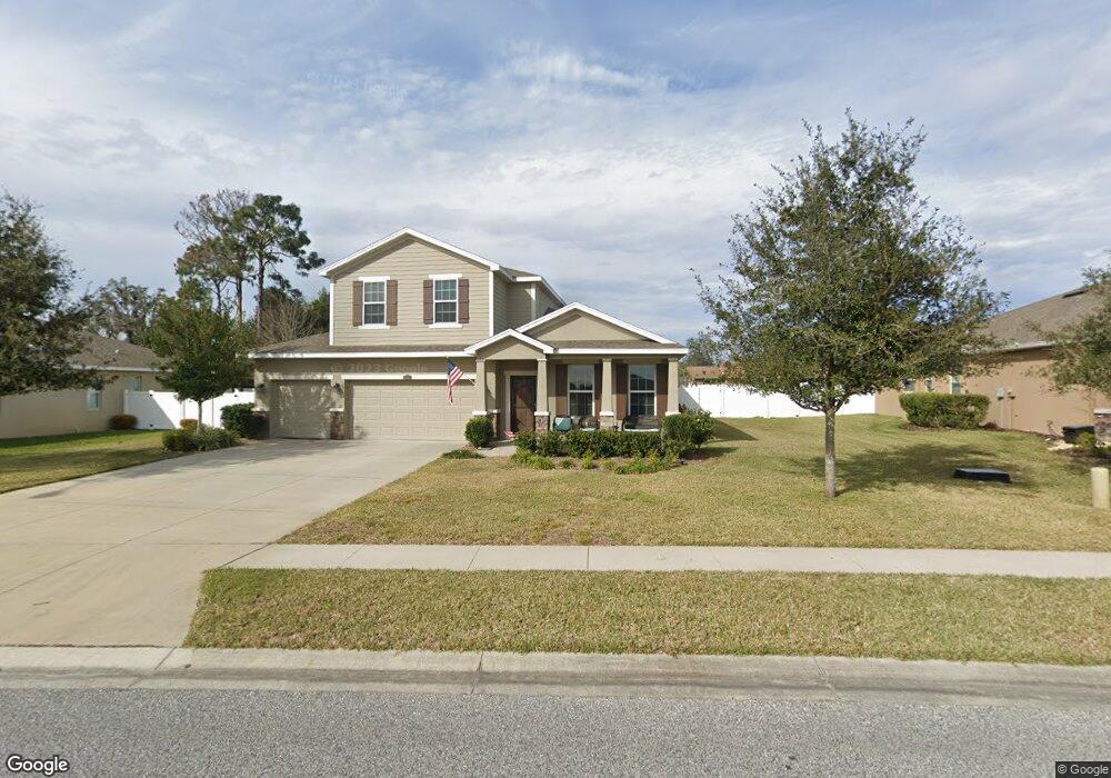
13313 Weatherstone Dr Spring Hill, FL 34609
Estimated Value: $450,877 - $540,000
4
Beds
3
Baths
2,838
Sq Ft
$172/Sq Ft
Est. Value
About This Home
This home is located at 13313 Weatherstone Dr, Spring Hill, FL 34609 and is currently estimated at $487,219, approximately $171 per square foot. 13313 Weatherstone Dr is a home with nearby schools including Suncoast Elementary School, Nature Coast Technical High School, and Powell Middle School.
Ownership History
Date
Name
Owned For
Owner Type
Purchase Details
Closed on
Nov 22, 2013
Sold by
D R Horton Inc
Bought by
Barrett Charles Q and Barrett Amy C
Current Estimated Value
Home Financials for this Owner
Home Financials are based on the most recent Mortgage that was taken out on this home.
Original Mortgage
$179,784
Outstanding Balance
$134,498
Interest Rate
4.31%
Mortgage Type
New Conventional
Estimated Equity
$352,721
Create a Home Valuation Report for This Property
The Home Valuation Report is an in-depth analysis detailing your home's value as well as a comparison with similar homes in the area
Home Values in the Area
Average Home Value in this Area
Purchase History
| Date | Buyer | Sale Price | Title Company |
|---|---|---|---|
| Barrett Charles Q | $224,730 | Dhi Title Of Florida Inc |
Source: Public Records
Mortgage History
| Date | Status | Borrower | Loan Amount |
|---|---|---|---|
| Open | Barrett Charles Q | $179,784 |
Source: Public Records
Tax History Compared to Growth
Tax History
| Year | Tax Paid | Tax Assessment Tax Assessment Total Assessment is a certain percentage of the fair market value that is determined by local assessors to be the total taxable value of land and additions on the property. | Land | Improvement |
|---|---|---|---|---|
| 2024 | $3,300 | $225,959 | -- | -- |
| 2023 | $3,300 | $216,651 | $0 | $0 |
| 2022 | $3,211 | $210,341 | $0 | $0 |
| 2021 | $2,701 | $204,215 | $0 | $0 |
| 2020 | $3,014 | $201,147 | $0 | $0 |
| 2019 | $3,021 | $196,625 | $0 | $0 |
| 2018 | $2,356 | $192,959 | $0 | $0 |
| 2017 | $2,637 | $188,990 | $0 | $0 |
| 2016 | $2,554 | $185,103 | $0 | $0 |
| 2015 | $2,579 | $183,816 | $0 | $0 |
| 2014 | $2,495 | $180,017 | $0 | $0 |
Source: Public Records
Map
Nearby Homes
- 13366 Barkingside Place
- 1009 Stratton Ave
- 1032 Concert Ave
- 1018 Stratton Ave
- 13424 Hunters Point St
- 572 Argyll Dr
- 13210 Jessica Dr
- 1095 Altoona Ave
- 0 Cooper Rd
- 13446 White Plains St
- 14606 Linden Dr
- 515 Hillshire Place
- 735 Winthrop Dr
- 13157 Jessica Dr
- 688 Argyll Dr
- 571 Old Windsor Way
- 14636 Linden Dr
- 313 Argyll Dr
- 13761 Weatherstone Dr
- 913 Buckhurst Dr
- 13325 Weatherstone Dr
- 13301 Weatherstone Dr
- 13368 Brighton St
- 13341 Weatherstone Dr
- 13285 Weatherstone Dr
- 13360 Brighton St
- 13352 Brighton St
- 13340 Weatherstone Dr
- 13357 Weatherstone Dr
- 13392 Brighton St
- 13271 Weatherstone Dr
- 444 Firwood Ave
- 13358 Weatherstone Dr
- 469 Firwood Ave
- 13400 Brighton St
- 13259 Weatherstone Dr
- 13365 Barkingside Place
- 13373 Weatherstone Dr
- 13245 Weatherstone Dr
- 13381 Brighton St