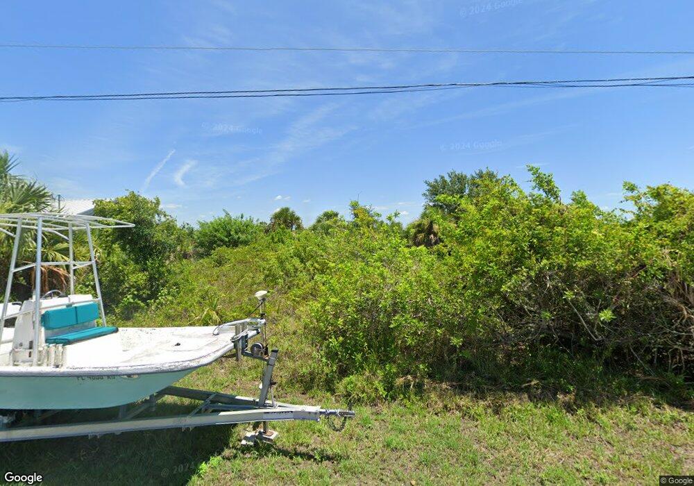
13318 Commonwealth Ave Port Charlotte, FL 33981
Gulf Cove NeighborhoodEstimated Value: $78,000 - $217,000
--
Bed
--
Bath
--
Sq Ft
10,019
Sq Ft Lot
About This Home
This home is located at 13318 Commonwealth Ave, Port Charlotte, FL 33981 and is currently estimated at $137,624. 13318 Commonwealth Ave is a home located in Charlotte County with nearby schools including Myakka River Elementary School, L.A. Ainger Middle School, and Lemon Bay High School.
Ownership History
Date
Name
Owned For
Owner Type
Purchase Details
Closed on
Nov 30, 2023
Sold by
Pf North End Realty Trust and Pizzuti Donato F
Bought by
Pf Collier Llc
Current Estimated Value
Purchase Details
Closed on
Feb 8, 2018
Sold by
Pizzuti Don and Pizzuti Marie
Bought by
Pizzuti Donoto F and P F North End Realty Trust
Purchase Details
Closed on
Jun 22, 2004
Sold by
Spycher Beat H
Bought by
Pizzuti Donato and Pizzuti Marie
Purchase Details
Closed on
Dec 1, 2003
Sold by
Bk Amer N A
Bought by
Spycher Beat H
Create a Home Valuation Report for This Property
The Home Valuation Report is an in-depth analysis detailing your home's value as well as a comparison with similar homes in the area
Home Values in the Area
Average Home Value in this Area
Purchase History
| Date | Buyer | Sale Price | Title Company |
|---|---|---|---|
| Pf Collier Llc | $100 | None Listed On Document | |
| Pizzuti Donoto F | $100,000 | Title Junction Llc | |
| Pizzuti Donato | $117,000 | -- | |
| Spycher Beat H | $51,100 | -- |
Source: Public Records
Tax History Compared to Growth
Tax History
| Year | Tax Paid | Tax Assessment Tax Assessment Total Assessment is a certain percentage of the fair market value that is determined by local assessors to be the total taxable value of land and additions on the property. | Land | Improvement |
|---|---|---|---|---|
| 2024 | $1,169 | $72,250 | $72,250 | -- |
| 2023 | $1,169 | $72,250 | $72,250 | $0 |
| 2022 | $1,062 | $72,250 | $72,250 | $0 |
| 2021 | $796 | $33,150 | $33,150 | $0 |
| 2020 | $744 | $31,875 | $31,875 | $0 |
| 2019 | $740 | $31,450 | $31,450 | $0 |
| 2018 | $771 | $36,550 | $36,550 | $0 |
| 2017 | $749 | $36,550 | $36,550 | $0 |
| 2016 | $733 | $26,022 | $0 | $0 |
| 2015 | $630 | $23,656 | $0 | $0 |
| 2014 | $556 | $21,505 | $0 | $0 |
Source: Public Records
Map
Nearby Homes
- 13342 Commonwealth Ave
- 13830 Allamanda Cir
- 13782 Allamanda Cir
- 10047 Duquesne St
- 9992 Antler St
- 10039 Duquesne St
- 13871 Allamanda Cir
- 13395 Bouvardia Ln
- 13284 Pace Cir
- 13886 Allamanda Cir
- 10038 Antrim St
- 13663 Allamanda Cir
- 10045 Bay State Dr
- 13260 Pace Cir
- 13236 Kakapo Ave
- 13631 Allamanda Cir
- 13902 Allamanda Cir
- 13654 Allamanda Cir
- 13147 Kakapo Ave
- 13630 Allamanda Cir
- 13310 Commonwealth Ave
- 13326 Commonwealth Ave
- 13334 Commonwealth Ave
- 13303 Commonwealth Ave
- 13814 Allamanda Cir
- 13806 Allamanda Cir
- 13294 Commonwealth Ave
- 13822 Allamanda Cir
- 13295 Commonwealth Ave
- 9983 Antler St
- 13286 Commonwealth Ave
- 13287 Commonwealth Ave
- 13838 Allamanda Cir
- 10007 Duquesne St
- 9991 Antler St
- 13815 Allamanda Cir
- 13799 Allamanda Cir
- 10000 Duquesne St
- 13846 Allamanda Cir
- 10000 Antler St
