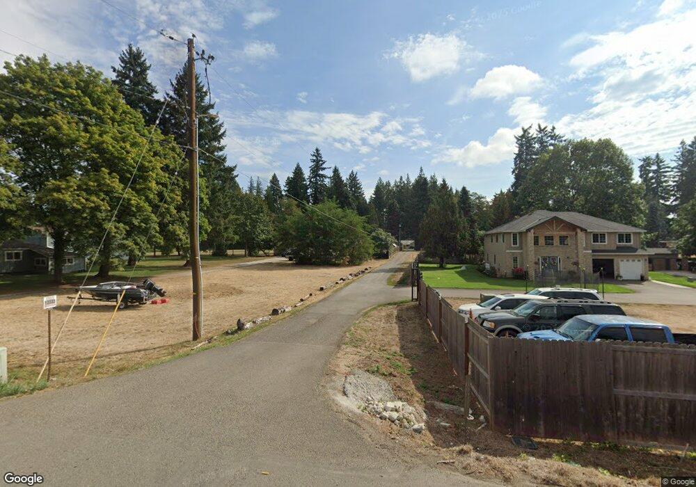
13319 NE 72nd Ave Vancouver, WA 98686
Estimated Value: $648,304 - $710,000
3
Beds
2
Baths
2,314
Sq Ft
$292/Sq Ft
Est. Value
About This Home
This home is located at 13319 NE 72nd Ave, Vancouver, WA 98686 and is currently estimated at $675,076, approximately $291 per square foot. 13319 NE 72nd Ave is a home located in Clark County with nearby schools including Glenwood Heights Primary School, Laurin Middle School, and Prairie High School.
Ownership History
Date
Name
Owned For
Owner Type
Purchase Details
Closed on
Mar 13, 2013
Sold by
Kinney Eric S and Kinney Denise G
Bought by
Lude Frank F and Lude Amy L
Current Estimated Value
Home Financials for this Owner
Home Financials are based on the most recent Mortgage that was taken out on this home.
Original Mortgage
$232,240
Outstanding Balance
$163,588
Interest Rate
3.5%
Mortgage Type
FHA
Estimated Equity
$511,488
Create a Home Valuation Report for This Property
The Home Valuation Report is an in-depth analysis detailing your home's value as well as a comparison with similar homes in the area
Home Values in the Area
Average Home Value in this Area
Purchase History
| Date | Buyer | Sale Price | Title Company |
|---|---|---|---|
| Lude Frank F | $236,525 | Chicago Title |
Source: Public Records
Mortgage History
| Date | Status | Borrower | Loan Amount |
|---|---|---|---|
| Open | Lude Frank F | $232,240 |
Source: Public Records
Tax History Compared to Growth
Tax History
| Year | Tax Paid | Tax Assessment Tax Assessment Total Assessment is a certain percentage of the fair market value that is determined by local assessors to be the total taxable value of land and additions on the property. | Land | Improvement |
|---|---|---|---|---|
| 2025 | $4,719 | $584,339 | $230,000 | $354,339 |
| 2024 | $4,257 | $564,513 | $230,000 | $334,513 |
| 2023 | $4,530 | $562,627 | $230,000 | $332,627 |
| 2022 | $4,159 | $553,342 | $244,150 | $309,192 |
| 2021 | $4,077 | $461,327 | $194,750 | $266,577 |
| 2020 | $4,043 | $409,799 | $180,500 | $229,299 |
| 2019 | $3,492 | $395,819 | $162,450 | $233,369 |
| 2018 | $4,034 | $389,868 | $0 | $0 |
| 2017 | $3,610 | $341,456 | $0 | $0 |
| 2016 | $3,437 | $328,704 | $0 | $0 |
| 2015 | $3,244 | $287,272 | $0 | $0 |
| 2014 | -- | $255,984 | $0 | $0 |
| 2013 | -- | $235,050 | $0 | $0 |
Source: Public Records
Map
Nearby Homes
- 6723 NE 132nd St
- 6727 NE 132nd St
- 6715 NE 132nd St
- 6515 NE 133rd Way
- 0 XXX NE 132nd St
- 14206 NE 76th Ave
- 6306 NE 134th St
- 6301 NE 127th St
- 13215 NE 60th Ave
- 6106 NE 139th St
- 12313 NE 66th Ave
- 12309 NE 66th Ct
- 16704 NE 38th Ave
- 6519 NE 123rd St
- 6511 NE 123rd St
- 6512 NE 123rd St
- 11617 NE 67th Ave
- 11905 NE 57th Ct Unit Lot 2
- 11909 NE 57th Ct Unit Lot 4
- 5305 NE 134th St
- 13311 NE 72nd Ave
- 13303 NE 72nd Ave
- 13403 NE 72nd Ave
- 13333 NE 72nd Ave
- 13417 NE 72nd Ave
- 13211 NE 72nd Ave
- 13209 NE 72nd Ave
- 7115 NE 134th St
- 13515 NE 72nd Ave
- 7111 NE 134th St
- 13511 NE 72nd Ave
- 13219 NE 71st Place
- 7107 NE 134th St
- 7110 NE 134th St
- 13215 NE 71st Place
- 13416 NE 72nd Ave
- 13211 NE 71st Place
- 13207 NE 71st Place
- 7103 NE 134th St
- 7106 NE 134th St