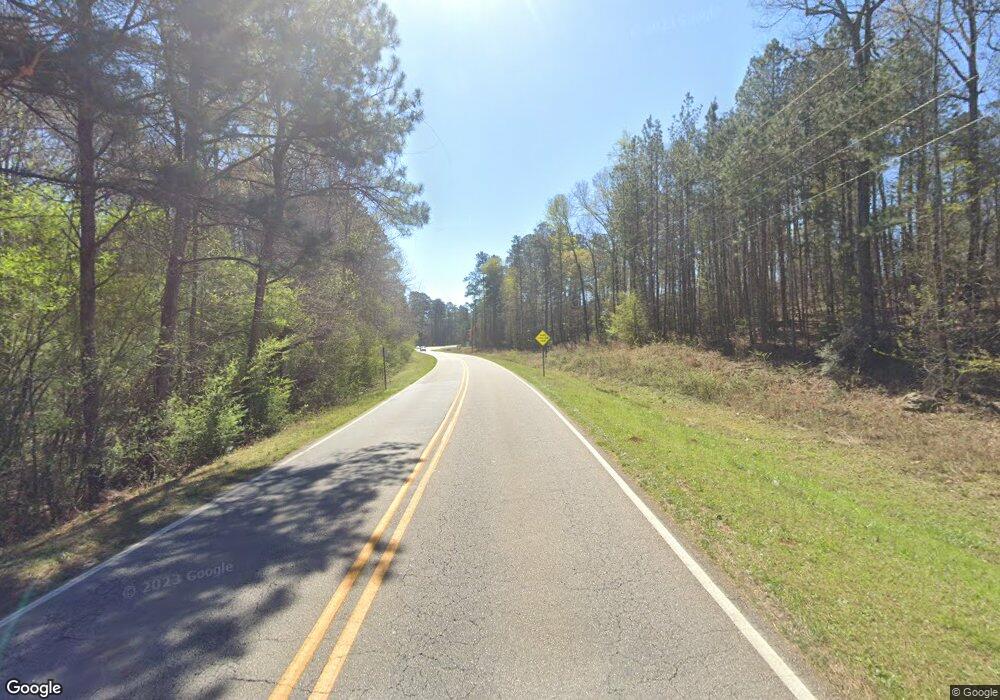
1332 N Davis Rd Lagrange, GA 30241
Estimated Value: $189,000 - $236,000
3
Beds
2
Baths
1,840
Sq Ft
$115/Sq Ft
Est. Value
About This Home
This home is located at 1332 N Davis Rd, Lagrange, GA 30241 and is currently estimated at $211,987, approximately $115 per square foot. 1332 N Davis Rd is a home located in Troup County with nearby schools including Franklin Forest Elementary School, Hillcrest Elementary School, and Hollis Hand Elementary School.
Ownership History
Date
Name
Owned For
Owner Type
Purchase Details
Closed on
May 20, 2025
Sold by
Walker Kevin L
Bought by
Georgia State Dept Of Transportation
Current Estimated Value
Purchase Details
Closed on
Mar 8, 2017
Sold by
Smith Kenneth A
Bought by
Walker Kevin L
Home Financials for this Owner
Home Financials are based on the most recent Mortgage that was taken out on this home.
Original Mortgage
$72,659
Interest Rate
4.17%
Mortgage Type
FHA
Purchase Details
Closed on
Jan 15, 2004
Sold by
Terry Wright and Terry Louise
Bought by
Smith Kenneth A
Purchase Details
Closed on
Jun 30, 1995
Sold by
Kenneth A Smith
Bought by
Terry Wright and Terry Louise
Purchase Details
Closed on
Jan 31, 1984
Sold by
Betty Trubee and Betty Smith
Bought by
Kenneth A Smith
Create a Home Valuation Report for This Property
The Home Valuation Report is an in-depth analysis detailing your home's value as well as a comparison with similar homes in the area
Purchase History
| Date | Buyer | Sale Price | Title Company |
|---|---|---|---|
| Georgia State Dept Of Transportation | -- | -- | |
| Walker Kevin L | $74,000 | -- | |
| Smith Kenneth A | $86,200 | -- | |
| Terry Wright | $80,000 | -- | |
| Kenneth A Smith | -- | -- |
Source: Public Records
Mortgage History
| Date | Status | Borrower | Loan Amount |
|---|---|---|---|
| Previous Owner | Walker Kevin L | $72,659 |
Source: Public Records
Tax History Compared to Growth
Tax History
| Year | Tax Paid | Tax Assessment Tax Assessment Total Assessment is a certain percentage of the fair market value that is determined by local assessors to be the total taxable value of land and additions on the property. | Land | Improvement |
|---|---|---|---|---|
| 2025 | $1,573 | $71,160 | $7,680 | $63,480 |
| 2024 | $1,573 | $57,680 | $7,680 | $50,000 |
| 2023 | $1,442 | $52,880 | $7,680 | $45,200 |
| 2022 | $1,411 | $50,560 | $7,680 | $42,880 |
| 2021 | $1,120 | $37,120 | $5,360 | $31,760 |
| 2020 | $1,120 | $37,120 | $5,360 | $31,760 |
| 2019 | $1,103 | $36,560 | $5,360 | $31,200 |
| 2018 | $893 | $33,720 | $5,360 | $28,360 |
| 2017 | $1,045 | $34,640 | $5,360 | $29,280 |
| 2016 | $1,021 | $33,843 | $5,600 | $28,243 |
| 2015 | $1,022 | $33,843 | $5,600 | $28,243 |
| 2014 | $979 | $32,357 | $5,600 | $26,757 |
| 2013 | -- | $33,004 | $5,600 | $27,404 |
Source: Public Records
Map
Nearby Homes
- 200 Crestwood Dr
- 519 Tradition Place
- 517 Tradition Place
- 129 Celebration Blvd
- 112 Celebration Blvd
- 101 Sheffield Dr
- 300 Old Pond Rd
- 91 Richmond Dr
- 789 Hammett Rd
- 100 Canterbury Dr
- 793 Celebration Blvd
- 102 Canterbury Dr
- 104 Canterbury Dr
- 105 Ridgefield Dr
- 125 Ridgefield Cir
- 134 S Page St
- 509 Youngs Mill Rd
- 883 Hammett Rd
- 121 Woodridge Cir
- 113 Woodridge Cir
- 1332 N Davis Rd
- 1333 N Davis Rd
- 1341 N Davis Rd
- 1159 Youngs Mill Rd
- 1189 Youngs Mill Rd
- 1365 N Davis Rd
- 1179 Youngs Mill Rd
- 1143 Youngs Mill Rd
- 1313 N Davis Rd
- 1313 N Davis Rd
- 1313 N Davis Rd
- 1199 Youngs Mill Rd
- 1205 Youngs Mill Rd
- 1115 Youngs Mill Rd
- 1212 Youngs Mill Rd
- 1105 Youngs Mill Rd
- 1083 Youngs Mill Rd
- 1219 Youngs Mill Rd
- 1097 Youngs Mill Rd
- 356 Waugh Rd
