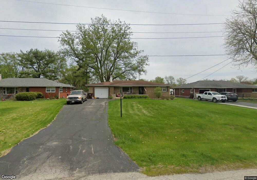
1332 Spector Rd New Lenox, IL 60451
Estimated Value: $253,424 - $381,000
3
Beds
2
Baths
--
Sq Ft
0.31
Acres
About This Home
This home is located at 1332 Spector Rd, New Lenox, IL 60451 and is currently estimated at $328,356. 1332 Spector Rd is a home located in Will County with nearby schools including Oster-Oakview School, Haines Elementary School, and Lincoln Way West.
Ownership History
Date
Name
Owned For
Owner Type
Purchase Details
Closed on
Aug 22, 2023
Sold by
Harris Neil S
Bought by
Thomas J Ponder And Leslie L Ponder Family Tr and Ponder
Current Estimated Value
Purchase Details
Closed on
May 19, 2023
Sold by
Schroeder Brian and Schroeder Aimee M
Bought by
Harris Neil S
Purchase Details
Closed on
Nov 18, 2005
Sold by
Nlsb
Bought by
Schroeder Brian and Schroeder Aimee M
Home Financials for this Owner
Home Financials are based on the most recent Mortgage that was taken out on this home.
Original Mortgage
$210,081
Interest Rate
6.17%
Mortgage Type
FHA
Purchase Details
Closed on
Apr 18, 2003
Sold by
Palmer Alva C and Palmer Bernadine F
Bought by
Nlsb and Trust #2771
Create a Home Valuation Report for This Property
The Home Valuation Report is an in-depth analysis detailing your home's value as well as a comparison with similar homes in the area
Home Values in the Area
Average Home Value in this Area
Purchase History
| Date | Buyer | Sale Price | Title Company |
|---|---|---|---|
| Thomas J Ponder And Leslie L Ponder Family Tr | -- | None Listed On Document | |
| Harris Neil S | $190,000 | Fidelity National Title | |
| Schroeder Brian | $230,000 | Ticor Title | |
| Nlsb | $184,000 | Chicago Title Insurance Co |
Source: Public Records
Mortgage History
| Date | Status | Borrower | Loan Amount |
|---|---|---|---|
| Previous Owner | Schroeder Brian | $210,081 |
Source: Public Records
Tax History Compared to Growth
Tax History
| Year | Tax Paid | Tax Assessment Tax Assessment Total Assessment is a certain percentage of the fair market value that is determined by local assessors to be the total taxable value of land and additions on the property. | Land | Improvement |
|---|---|---|---|---|
| 2024 | $7,529 | $104,222 | $21,250 | $82,972 |
| 2023 | $7,529 | $95,006 | $19,371 | $75,635 |
| 2022 | $6,800 | $87,523 | $17,845 | $69,678 |
| 2021 | $6,449 | $82,313 | $16,783 | $65,530 |
| 2020 | $6,259 | $79,376 | $16,184 | $63,192 |
| 2019 | $5,983 | $76,915 | $15,682 | $61,233 |
| 2018 | $5,839 | $74,265 | $15,142 | $59,123 |
| 2017 | $5,538 | $72,130 | $14,707 | $57,423 |
| 2016 | $5,372 | $70,199 | $14,313 | $55,886 |
| 2015 | $5,195 | $67,989 | $13,862 | $54,127 |
| 2014 | $5,195 | $67,150 | $13,691 | $53,459 |
| 2013 | $5,195 | $68,056 | $13,876 | $54,180 |
Source: Public Records
Map
Nearby Homes
- 133 Barbara Ln
- 1301 Silver Cross Blvd
- 338 Willow St
- 1344 N Cedar Rd
- 0 Silver Cross Blvd
- 1999 Silver Cross Blvd
- 217 Aspen Dr
- 331 Old Hickory Rd
- 200 Redwood Ave
- 125 Kimber Dr
- 208 Redwood Ave
- Vacant W Maple St
- 1500 Ramp
- 224 Hauser Ct
- 203 Fir St
- 218 Manor Dr Unit A
- 807 Picardy Place
- 416 Manor Ct Unit B
- 3420 Avondale Ln
- 574 Prairie Crossing Dr