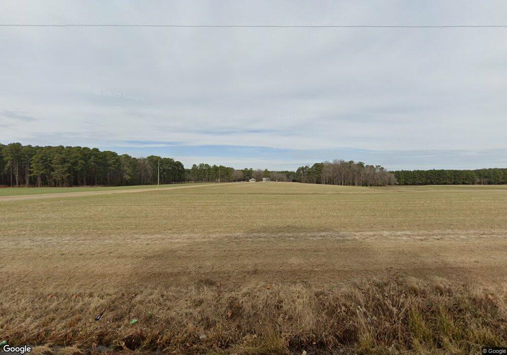
13322 McDougald Rd Sanford, NC 27332
Estimated Value: $222,000 - $447,782
2
Beds
1
Bath
1,300
Sq Ft
$241/Sq Ft
Est. Value
About This Home
This home is located at 13322 McDougald Rd, Sanford, NC 27332 and is currently estimated at $313,196, approximately $240 per square foot. 13322 McDougald Rd is a home located in Harnett County with nearby schools including Boone Trail Elementary School, Western Harnett Middle School, and Western Harnett High School.
Ownership History
Date
Name
Owned For
Owner Type
Purchase Details
Closed on
Jun 23, 2022
Sold by
Johnson Larry G and Thomas Nancy
Bought by
Johnson Paul Anthony and Johnson Amy G
Current Estimated Value
Purchase Details
Closed on
Jul 10, 2020
Sold by
Thomas Mary Caneron and Thomas Mary C
Bought by
Johnson Larry G and Johnson Nancy Thomas
Purchase Details
Closed on
Oct 23, 2009
Sold by
Matthews Gary L
Bought by
Sakowski Andrzej and Sakowski Elzbieta
Purchase Details
Closed on
Oct 13, 1952
Bought by
Thomas A C
Create a Home Valuation Report for This Property
The Home Valuation Report is an in-depth analysis detailing your home's value as well as a comparison with similar homes in the area
Home Values in the Area
Average Home Value in this Area
Purchase History
| Date | Buyer | Sale Price | Title Company |
|---|---|---|---|
| Johnson Paul Anthony | -- | Kelly Reginald B | |
| Johnson Paul Anthony | -- | Kelly Reginald B | |
| Johnson Larry G | $135,000 | None Available | |
| Sakowski Andrzej | $308,000 | -- | |
| Thomas A C | -- | -- |
Source: Public Records
Tax History Compared to Growth
Tax History
| Year | Tax Paid | Tax Assessment Tax Assessment Total Assessment is a certain percentage of the fair market value that is determined by local assessors to be the total taxable value of land and additions on the property. | Land | Improvement |
|---|---|---|---|---|
| 2025 | $1,199 | $156,675 | $0 | $0 |
| 2024 | $1,199 | $156,675 | $0 | $0 |
| 2023 | $1,199 | $156,675 | $0 | $0 |
| 2022 | $988 | $156,675 | $0 | $0 |
| 2021 | $988 | $104,970 | $0 | $0 |
| 2020 | $866 | $91,900 | $0 | $0 |
| 2019 | $851 | $91,900 | $0 | $0 |
| 2018 | $842 | $91,900 | $0 | $0 |
| 2017 | $842 | $91,900 | $0 | $0 |
| 2016 | $778 | $84,310 | $0 | $0 |
| 2015 | -- | $84,310 | $0 | $0 |
| 2014 | -- | $83,350 | $0 | $0 |
Source: Public Records
Map
Nearby Homes
- 3481 Mcneill Rd
- The Landen Plan at Briarwood Bluff
- The Coleman Plan at Briarwood Bluff
- The Telfair Plan at Briarwood Bluff
- The Grayson Plan at Briarwood Bluff
- The Lawson Plan at Briarwood Bluff
- The Benson II Plan at Briarwood Bluff
- 164 Gray Pine Way
- 2404 Bella Bridge Rd
- 406 Mcfarland Rd
- 134 Gray Pine Way
- 116 Gray Pine Way
- 117 Boyce Ct
- 189 Boyce Ct
- 173 Boyce Ct
- 189 Thistle Ct
- 13660 McDougald Rd
- 0 McDougald Rd Unit LP604337
- 0 McDougald Rd Unit LP636116
- 0 McDougald Rd Unit LP540973
- 00 McDougald Rd
- 2175 Mccormick Rd
- 410 Cooper Store Rd
- 2967 Mcneill Rd
- 13782 McDougald Rd
- 408 Cooper Store Rd
- 2965 Mcneill Rd
- 13802 McDougald Rd
- 13836 McDougald Rd
- 1931 Mccormick Rd
- 12780 McDougald Rd
- 13841 McDougald Rd
- 13868 McDougald Rd
- 91 Applewood Dr
- 256 Cooper Store Rd
- 190 Cooper Store Rd
