13322 W Bank Dr NE Millersport, OH 43046
Estimated Value: $678,294 - $1,084,000
2
Beds
4
Baths
2,082
Sq Ft
$441/Sq Ft
Est. Value
About This Home
This home is located at 13322 W Bank Dr NE, Millersport, OH 43046 and is currently estimated at $918,098, approximately $440 per square foot. 13322 W Bank Dr NE is a home located in Fairfield County with nearby schools including Millersport Elementary School and Millersport Jr/Sr High School.
Ownership History
Date
Name
Owned For
Owner Type
Purchase Details
Closed on
Nov 3, 1992
Sold by
Jackson Theresa L
Bought by
Jackson Theresa L
Current Estimated Value
Purchase Details
Closed on
Aug 1, 1986
Create a Home Valuation Report for This Property
The Home Valuation Report is an in-depth analysis detailing your home's value as well as a comparison with similar homes in the area
Home Values in the Area
Average Home Value in this Area
Purchase History
| Date | Buyer | Sale Price | Title Company |
|---|---|---|---|
| Jackson Theresa L | -- | -- | |
| -- | $58,000 | -- |
Source: Public Records
Tax History Compared to Growth
Tax History
| Year | Tax Paid | Tax Assessment Tax Assessment Total Assessment is a certain percentage of the fair market value that is determined by local assessors to be the total taxable value of land and additions on the property. | Land | Improvement |
|---|---|---|---|---|
| 2024 | $11,650 | $193,850 | $85,920 | $107,930 |
| 2023 | $7,661 | $193,850 | $85,920 | $107,930 |
| 2022 | $7,702 | $193,850 | $85,920 | $107,930 |
| 2021 | $6,506 | $147,300 | $71,790 | $75,510 |
| 2020 | $6,529 | $147,300 | $71,790 | $75,510 |
| 2019 | $6,531 | $147,300 | $71,790 | $75,510 |
| 2018 | $6,305 | $120,880 | $67,840 | $53,040 |
| 2017 | $6,307 | $128,660 | $67,840 | $60,820 |
| 2016 | $5,809 | $128,660 | $67,840 | $60,820 |
| 2015 | $5,794 | $126,240 | $67,840 | $58,400 |
| 2014 | $4,679 | $126,240 | $67,840 | $58,400 |
| 2013 | $4,679 | $126,240 | $67,840 | $58,400 |
Source: Public Records
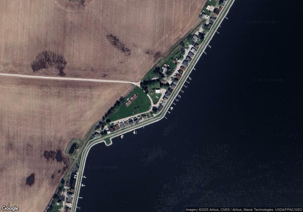
Map
Nearby Homes
- 13244 W Bank Dr NE
- 13404 W Bank Dr NE
- 13180 W Bank Dr NE
- 13474 W Bank Dr NE
- 13546 Hamilton St NE
- 3280 Shepard Ave
- 3308 Shepard Ave
- 13556 Richards St NE
- 12946 W Bank Dr NE
- 12580 W Bank Dr NE
- 3483 N Bank Rd
- 12656 W Bank Dr NE
- 12700 Onion Island NE
- 3863 N Bank Rd NE
- 2486 Mallard Point Ln
- 12291 Ohio Ave
- 2592 Summit St
- 4119 N Bank Rd NE
- 3621 S Bank Rd NE
- 2582 E Park St
- 13304 W Bank Dr
- 13284 W Bank Dr NE
- 13268 W Bank Dr NE
- 13260 W Bank Dr NE
- 13252 W Bank Dr NE
- 13388 W Bank Dr NE
- 13232 W Bank Dr NE
- 13396 W Bank Dr NE
- 13216 W Bank Dr NE
- 13412 W Bank Dr NE
- 13418 W Bank Dr NE
- 13198 W Bank Dr NE
- 13424 W Bank Dr NE
- 13430 W Bank Dr NE
- 13436 W Bank Dr NE
- 13444 W Bank Rd
- 13444 W Bank Dr NE
- 13164 W Bank Dr NE
- 13464 W Bank Dr NE
- 13150 W Bank Dr NE