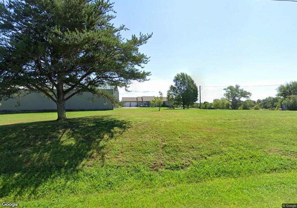
13324 Spalding Rd Hannibal, MO 63401
Estimated Value: $338,000 - $534,592
3
Beds
3
Baths
1,512
Sq Ft
$272/Sq Ft
Est. Value
About This Home
This home is located at 13324 Spalding Rd, Hannibal, MO 63401 and is currently estimated at $410,531, approximately $271 per square foot. 13324 Spalding Rd is a home with nearby schools including Mark Twain Senior High School.
Create a Home Valuation Report for This Property
The Home Valuation Report is an in-depth analysis detailing your home's value as well as a comparison with similar homes in the area
Home Values in the Area
Average Home Value in this Area
Tax History Compared to Growth
Tax History
| Year | Tax Paid | Tax Assessment Tax Assessment Total Assessment is a certain percentage of the fair market value that is determined by local assessors to be the total taxable value of land and additions on the property. | Land | Improvement |
|---|---|---|---|---|
| 2024 | $1,481 | $30,490 | $7,000 | $23,490 |
| 2023 | $1,437 | $30,490 | $7,000 | $23,490 |
| 2022 | $1,437 | $30,490 | $7,000 | $23,490 |
| 2021 | $1,445 | $30,490 | $7,000 | $23,490 |
| 2020 | $1,463 | $30,490 | $7,000 | $23,490 |
| 2019 | $1,406 | $30,490 | $7,000 | $23,490 |
| 2018 | $1,368 | $29,460 | $7,080 | $22,380 |
| 2017 | $1,295 | $27,930 | $7,080 | $20,850 |
| 2016 | $1,299 | $28,170 | $7,080 | $21,090 |
| 2015 | -- | $27,680 | $7,080 | $20,600 |
| 2014 | -- | $22,710 | $6,070 | $16,640 |
| 2013 | -- | $22,710 | $6,070 | $16,640 |
Source: Public Records
Map
Nearby Homes
- 0 Sunnyside Ln Unit MIS25069708
- 11049 Mark Twain Dr
- 0 Osage Dr
- Rt. 6 Spring View Trail
- 000 Spring View Trail
- Sunny Unit WPLot001
- 49374 Laura Dr
- 11167 Hulse Dr
- 17094 Hwy H
- 55199 Highway M
- 5 Lone Cedar Trail
- 55820 Lone Cedar Trail
- 6636 County Road 423
- 12397 Apache Dr
- 14000 Sydney Rd
- 54043 Haden Place
- 8590 Cr 422
- 49026 Jaeger Place
- 7070 Goldenrod Rd
- 8508 Centerville Rd