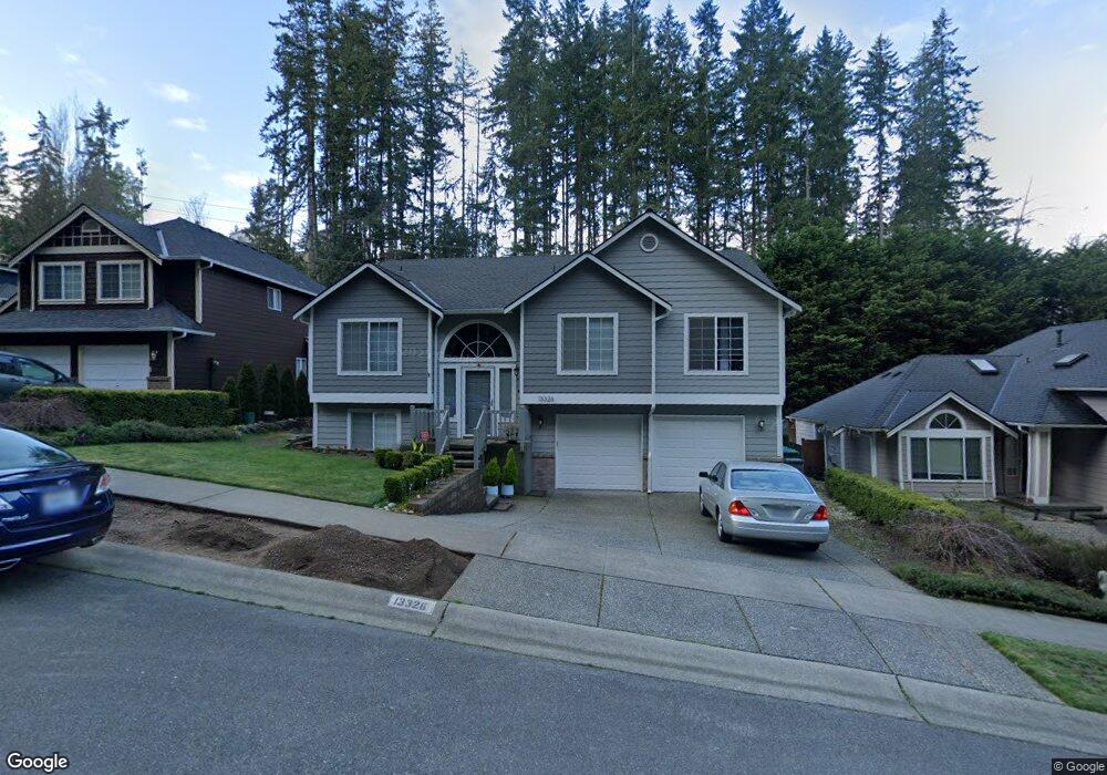
13326 59th Ave W Edmonds, WA 98026
Wingate NeighborhoodEstimated Value: $865,579 - $1,226,000
5
Beds
3
Baths
2,582
Sq Ft
$406/Sq Ft
Est. Value
About This Home
This home is located at 13326 59th Ave W, Edmonds, WA 98026 and is currently estimated at $1,047,145, approximately $405 per square foot. 13326 59th Ave W is a home located in Snohomish County with nearby schools including Picnic Point Elementary School, Harbour Pointe Middle School, and Kamiak High School.
Ownership History
Date
Name
Owned For
Owner Type
Purchase Details
Closed on
Jun 27, 1997
Sold by
Crosby Homes Inc
Bought by
Droppelman Bruce T and Droppelman Beverly G
Current Estimated Value
Home Financials for this Owner
Home Financials are based on the most recent Mortgage that was taken out on this home.
Original Mortgage
$158,000
Outstanding Balance
$23,488
Interest Rate
7.92%
Estimated Equity
$1,023,657
Create a Home Valuation Report for This Property
The Home Valuation Report is an in-depth analysis detailing your home's value as well as a comparison with similar homes in the area
Home Values in the Area
Average Home Value in this Area
Purchase History
| Date | Buyer | Sale Price | Title Company |
|---|---|---|---|
| Droppelman Bruce T | $198,000 | -- |
Source: Public Records
Mortgage History
| Date | Status | Borrower | Loan Amount |
|---|---|---|---|
| Open | Droppelman Bruce T | $158,000 |
Source: Public Records
Tax History Compared to Growth
Tax History
| Year | Tax Paid | Tax Assessment Tax Assessment Total Assessment is a certain percentage of the fair market value that is determined by local assessors to be the total taxable value of land and additions on the property. | Land | Improvement |
|---|---|---|---|---|
| 2025 | $6,498 | $785,000 | $445,900 | $339,100 |
| 2024 | $6,498 | $769,800 | $430,700 | $339,100 |
| 2023 | $7,052 | $875,600 | $451,100 | $424,500 |
| 2022 | $6,361 | $667,600 | $286,900 | $380,700 |
| 2020 | $5,577 | $569,300 | $244,200 | $325,100 |
| 2019 | $5,273 | $540,400 | $224,200 | $316,200 |
| 2018 | $5,292 | $472,900 | $190,000 | $282,900 |
| 2017 | $4,599 | $420,100 | $175,800 | $244,300 |
| 2016 | $4,281 | $388,200 | $153,900 | $234,300 |
| 2015 | $4,323 | $359,100 | $145,400 | $213,700 |
| 2013 | $3,477 | $269,500 | $109,000 | $160,500 |
Source: Public Records
Map
Nearby Homes
- 13802 60th Ave W
- 5119 136th St SW
- 6306 141st St SW
- 6625 136th Place SW
- 6509 128th Place SW
- 14019 52nd Ave W Unit B
- 6523 128th Place SW
- 6420 141st St SW
- 13813 68th Ave W
- 13303 48th Place W
- 6122 144th St SW
- 5015 144th St SW Unit B1
- 5015 144th St SW Unit A4
- 5015 144th St SW Unit B3
- 5015 144th St SW Unit C1
- 12303 Harbour Pointe Blvd Unit W101
- 4726 Picnic Point Rd
- 13322 47th Place W
- 14224 Beverly Park Rd Unit A
- 14714 53rd Ave W Unit 116
- 13322 59th Ave W
- 13330 59th Ave W
- 13318 59th Ave W
- 13404 59th Ave W
- 68 XX Picnic Point Rd
- 13314 59th Ave W
- 13407 59th Ave W
- 13408 59th Ave W
- 13412 59th Ave W
- 13411 59th Ave W
- 13306 59th Ave W
- 5805 135th Place SW
- 5809 135th Place SW
- 6002 133rd Place SW
- 13505 58th Place W Unit 7
- 13501 58th Place W
- 13501 58th Place W Unit 8
- 5826 133rd Place SW
- 13232 59th Ave W
- 6130 135th Place SW Unit 70