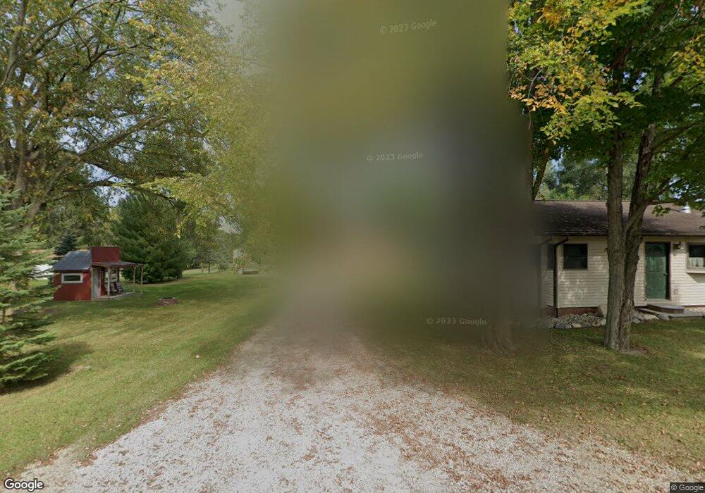
13326 Cornell Rd Concord, MI 49237
Estimated Value: $141,423 - $232,000
--
Bed
--
Bath
1,188
Sq Ft
$156/Sq Ft
Est. Value
About This Home
This home is located at 13326 Cornell Rd, Concord, MI 49237 and is currently estimated at $185,106, approximately $155 per square foot. 13326 Cornell Rd is a home located in Jackson County with nearby schools including Concord Elementary School, Concord Middle School, and Concord High School.
Ownership History
Date
Name
Owned For
Owner Type
Purchase Details
Closed on
Jan 29, 2001
Sold by
Contract Funding Group Inc
Bought by
Hopkins Douglas
Current Estimated Value
Home Financials for this Owner
Home Financials are based on the most recent Mortgage that was taken out on this home.
Original Mortgage
$66,150
Outstanding Balance
$23,930
Interest Rate
7.1%
Estimated Equity
$161,176
Purchase Details
Closed on
May 4, 2000
Sold by
Kelley Paul K and Kelley Phyllis Gail
Bought by
Contract Funding Group Inc
Purchase Details
Closed on
Aug 1, 1992
Bought by
Kelley
Create a Home Valuation Report for This Property
The Home Valuation Report is an in-depth analysis detailing your home's value as well as a comparison with similar homes in the area
Home Values in the Area
Average Home Value in this Area
Purchase History
| Date | Buyer | Sale Price | Title Company |
|---|---|---|---|
| Hopkins Douglas | $49,000 | -- | |
| Contract Funding Group Inc | $33,516 | -- | |
| Kelley | $28,000 | -- |
Source: Public Records
Mortgage History
| Date | Status | Borrower | Loan Amount |
|---|---|---|---|
| Open | Hopkins Douglas | $66,150 |
Source: Public Records
Tax History Compared to Growth
Tax History
| Year | Tax Paid | Tax Assessment Tax Assessment Total Assessment is a certain percentage of the fair market value that is determined by local assessors to be the total taxable value of land and additions on the property. | Land | Improvement |
|---|---|---|---|---|
| 2025 | $1,131 | $56,400 | $56,400 | $0 |
| 2024 | $382 | $54,900 | $54,900 | $0 |
| 2023 | $364 | $51,400 | $51,400 | $0 |
| 2022 | $1,026 | $42,200 | $42,200 | $0 |
| 2021 | $1,010 | $40,200 | $40,200 | $0 |
| 2020 | $999 | $38,400 | $0 | $0 |
| 2019 | $929 | $36,100 | $0 | $0 |
| 2018 | $908 | $30,300 | $0 | $0 |
| 2017 | $814 | $31,100 | $0 | $0 |
| 2016 | $296 | $29,200 | $29,200 | $0 |
| 2015 | -- | $26,250 | $26,250 | $0 |
| 2014 | -- | $28,250 | $28,250 | $0 |
| 2013 | -- | $28,250 | $28,250 | $0 |
Source: Public Records
Map
Nearby Homes
- 0 River Bend Drive Lot #1
- 0 River Bend Drive Lot #2
- 0 Albion Rd
- 5354 Albion Rd
- 110 Spring St
- 213 Railroad St
- 0 River Bend Drive Lot #11
- 0 River Bend Drive Lot #10
- 0 River Bend Drive Lot #9
- 0 River Bend Drive Lot #5
- 0 River Bend Drive Lot #4
- 0 River Bend Drive Lot #3
- 301 Hanover St
- 229 S Concord St
- 519 Hanover St
- 731 Sears Rd
- 516 Cecil Dr
- 7210 Pulaski Rd Rd
- 636 Swains Lake Dr
- 6175 van Wert Rd
- 13330 Cornell Rd
- 13335 Cornell Rd
- 13122 Cornell Rd
- 13337 Cornell Rd
- 13337 Cornell Rd
- 13100 Cornell Rd
- 13058 Cornell Rd
- 5000 Albion Rd
- 4910 Albion Rd
- 13001 Cornell Rd
- LOT #5 River Bend Dr
- 13587 Cornell Rd
- LOT #9 River Bend Dr
- LOT #4 River Bend Dr
- LOT #10 River Bend Dr
- LOT #3 River Bend Dr
- LOT #11 River Bend Dr
- LOT #2 River Bend Dr
- 0 River Bend #8
- 0 River Bend #7