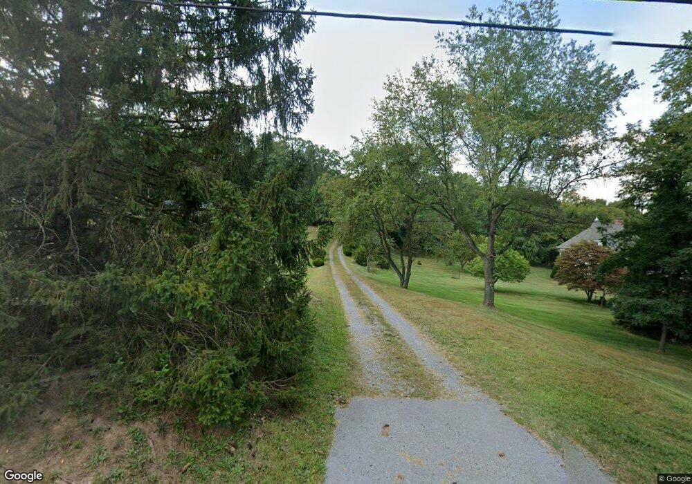
13326 Draper Rd Clear Spring, MD 21722
Estimated Value: $336,176 - $435,000
--
Bed
2
Baths
1,620
Sq Ft
$233/Sq Ft
Est. Value
About This Home
This home is located at 13326 Draper Rd, Clear Spring, MD 21722 and is currently estimated at $377,794, approximately $233 per square foot. 13326 Draper Rd is a home located in Washington County with nearby schools including Clear Spring Elementary School, Clear Spring Middle School, and Clear Spring High School.
Ownership History
Date
Name
Owned For
Owner Type
Purchase Details
Closed on
Oct 7, 1991
Sold by
Orr Charles R and Orr Paula B
Bought by
Ogle Douglas W and Ogle Mary C
Current Estimated Value
Home Financials for this Owner
Home Financials are based on the most recent Mortgage that was taken out on this home.
Original Mortgage
$75,000
Interest Rate
8.87%
Purchase Details
Closed on
Sep 5, 1986
Sold by
Rowland Anna L
Bought by
Church Harvest Baptist
Create a Home Valuation Report for This Property
The Home Valuation Report is an in-depth analysis detailing your home's value as well as a comparison with similar homes in the area
Home Values in the Area
Average Home Value in this Area
Purchase History
| Date | Buyer | Sale Price | Title Company |
|---|---|---|---|
| Ogle Douglas W | $129,000 | -- | |
| Church Harvest Baptist | $8,000 | -- |
Source: Public Records
Mortgage History
| Date | Status | Borrower | Loan Amount |
|---|---|---|---|
| Closed | Ogle Douglas W | $75,000 |
Source: Public Records
Tax History Compared to Growth
Tax History
| Year | Tax Paid | Tax Assessment Tax Assessment Total Assessment is a certain percentage of the fair market value that is determined by local assessors to be the total taxable value of land and additions on the property. | Land | Improvement |
|---|---|---|---|---|
| 2025 | $2,587 | $303,433 | $0 | $0 |
| 2024 | $2,587 | $267,367 | $0 | $0 |
| 2023 | $2,455 | $231,300 | $96,700 | $134,600 |
| 2022 | $2,341 | $220,800 | $0 | $0 |
| 2021 | $2,168 | $210,300 | $0 | $0 |
| 2020 | $2,168 | $199,800 | $96,700 | $103,100 |
| 2019 | $2,156 | $197,767 | $0 | $0 |
| 2018 | $2,135 | $195,733 | $0 | $0 |
| 2017 | $2,113 | $193,700 | $0 | $0 |
| 2016 | -- | $192,633 | $0 | $0 |
| 2015 | -- | $191,567 | $0 | $0 |
| 2014 | $2,089 | $190,500 | $0 | $0 |
Source: Public Records
Map
Nearby Homes
- 13609 Blairs Valley Rd
- 13013 Draper Rd
- 20 N Martin St
- 12343 Big Spring Rd
- 11868 National Pike
- 14122 Mercersburg Rd
- 13407 Rhodes Ct
- 12530 Ashton Rd
- 11430 National Pike
- 0 Ashton Rd
- 11737 Ashton Rd
- 11705 Ashton Rd
- 0 Catholic Church Rd
- 14009 Dry Run Rd
- 12429 Angle Dr
- 8697 Regal Dr
- 8642 Regal Dr
- 12136 Big Pool Rd
- 13856 Pond View Ln
- 12720 Spickler Rd
- 13314 Draper Rd
- 13332 Draper Rd
- 13400 Draper Rd
- 13331 Draper Rd
- 13323 Draper Rd
- 13315 Draper Rd
- 13404 Draper Rd
- 13341 Draper Rd
- 13416 Draper Rd
- 13305 Draper Rd
- 13405 Draper Rd
- 13420 Draper Rd
- 13415 Draper Rd
- 13424 Draper Rd
- 13524 Blairs Valley Rd
- 13311 Draper Rd
- 13223 Draper Rd
- 13428 Draper Rd
- 13532 Blairs Valley Rd
- 13240 Draper Rd
