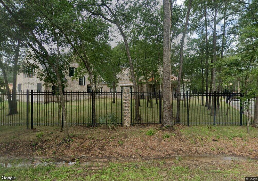
13327 Woodside Ln Cypress, TX 77429
Estimated Value: $722,000 - $1,381,000
5
Beds
9
Baths
6,028
Sq Ft
$183/Sq Ft
Est. Value
About This Home
This home is located at 13327 Woodside Ln, Cypress, TX 77429 and is currently estimated at $1,105,510, approximately $183 per square foot. 13327 Woodside Ln is a home with nearby schools including Hamilton Elementary School, Hamilton Middle School, and Cy-Fair High School.
Ownership History
Date
Name
Owned For
Owner Type
Purchase Details
Closed on
Aug 14, 2015
Sold by
Geserick Martin
Bought by
Gregurek Albert C and Gregurek Shelly
Current Estimated Value
Purchase Details
Closed on
Mar 6, 2006
Sold by
Lease Robin C and Lease Nancy S
Bought by
Geserick Martin
Purchase Details
Closed on
Jun 30, 2003
Sold by
Lease Robin and Lease Nancy
Bought by
Lease Robin C and Lease Nancy S
Purchase Details
Closed on
Apr 9, 1998
Sold by
Dale David F and Ruth Dale E
Bought by
Lease Robin and Lease Nancy
Create a Home Valuation Report for This Property
The Home Valuation Report is an in-depth analysis detailing your home's value as well as a comparison with similar homes in the area
Home Values in the Area
Average Home Value in this Area
Purchase History
| Date | Buyer | Sale Price | Title Company |
|---|---|---|---|
| Gregurek Albert C | -- | Stewart Title | |
| Geserick Martin | -- | Stewart Title Houston Div | |
| Lease Robin C | -- | -- | |
| Lease Robin | -- | Regency Title |
Source: Public Records
Tax History Compared to Growth
Tax History
| Year | Tax Paid | Tax Assessment Tax Assessment Total Assessment is a certain percentage of the fair market value that is determined by local assessors to be the total taxable value of land and additions on the property. | Land | Improvement |
|---|---|---|---|---|
| 2025 | $24,240 | $1,275,489 | $174,540 | $1,100,949 |
| 2024 | $24,240 | $1,275,489 | $174,540 | $1,100,949 |
| 2023 | $24,240 | $1,044,015 | $109,088 | $934,927 |
| 2022 | $21,499 | $1,044,015 | $109,088 | $934,927 |
| 2021 | $15,470 | $714,991 | $109,088 | $605,903 |
| 2020 | $15,939 | $714,991 | $109,088 | $605,903 |
| 2019 | $12,851 | $554,165 | $109,088 | $445,077 |
| 2018 | $1,257 | $87,270 | $87,270 | $0 |
| 2017 | $2,020 | $87,270 | $87,270 | $0 |
| 2016 | $2,020 | $87,270 | $87,270 | $0 |
| 2015 | $2,020 | $87,270 | $87,270 | $0 |
| 2014 | $2,020 | $87,270 | $87,270 | $0 |
Source: Public Records
Map
Nearby Homes
- 12537 Kluge Rd
- 13635 Kluge Corner Ln
- 13410 Kluge Corner Ln
- 13443 Missarah Ln
- 13407 Hartford Bay Trail
- 13506 Contado Ct
- 13402 Wedgewood Thicket Way
- 13810 Lake Port
- 13803 Oak Fair Bend
- 13606 Oak Harbor Bend
- 13515 Maxwell Rd
- 13931 Huffmeister Rd
- 12911 Peach Meadow Dr
- 13710 Casaba Ct
- 6 Airport Drive Lot # 6
- 13807 Meadow Sweet Dr
- 13531 Clareton Ln
- 12911 Bristol Berry Dr
- 13218 Blossomheath Rd
- 14634 Bergenia Dr
- 13333 Woodside Ln
- 13803 Woodside Green Dr
- 00 Woodside Ln
- 13330 Kluge Rd
- 13326 Woodside Ln
- 13335 Woodside Ln
- 13122 Kluge Rd
- 13117 Kluge Rd
- 13334 Woodside Ln
- 12607 Dale Dr
- 13350 Woodside Ln
- 13103 Kluge Rd
- 13602 Kluge Rd
- 13105 Kluge Rd
- 13105 Kluge Rd
- 13610 Kluge Rd
- 13403 Kluge Corner Ln
- 13630 Kluge Corner Ln
- 13626 Kluge Corner Ln
- 13611 Kluge Rd