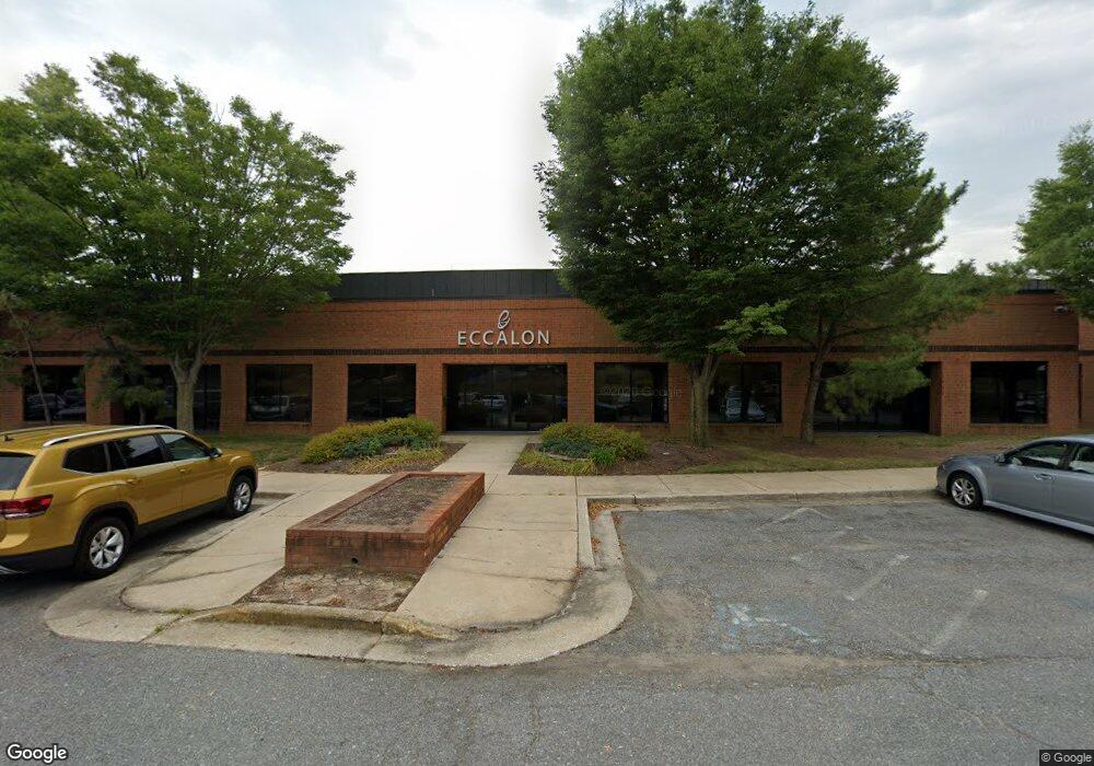
1333 Ashton Rd Hanover, MD 21076
Estimated Value: $7,103,889
Studio
--
Bath
36,784
Sq Ft
$193/Sq Ft
Est. Value
About This Home
This home is located at 1333 Ashton Rd, Hanover, MD 21076 and is currently estimated at $7,103,889, approximately $193 per square foot. 1333 Ashton Rd is a home located in Anne Arundel County with nearby schools including Linthicum Elementary School, Lindale Middle School, and North County High School.
Ownership History
Date
Name
Owned For
Owner Type
Purchase Details
Closed on
Nov 2, 2009
Sold by
Northwest Airlines Inc
Bought by
Ashton Road Investors Llc
Current Estimated Value
Purchase Details
Closed on
Oct 26, 1992
Sold by
Commons Office Research Ptnshp
Bought by
Northwest Airlines, Inc
Home Financials for this Owner
Home Financials are based on the most recent Mortgage that was taken out on this home.
Original Mortgage
$5,000,000
Interest Rate
8.23%
Create a Home Valuation Report for This Property
The Home Valuation Report is an in-depth analysis detailing your home's value as well as a comparison with similar homes in the area
Purchase History
| Date | Buyer | Sale Price | Title Company |
|---|---|---|---|
| Ashton Road Investors Llc | $4,330,440 | -- | |
| Northwest Airlines, Inc | $3,750,000 | -- |
Source: Public Records
Mortgage History
| Date | Status | Borrower | Loan Amount |
|---|---|---|---|
| Previous Owner | Northwest Airlines, Inc | $5,000,000 |
Source: Public Records
Tax History
| Year | Tax Paid | Tax Assessment Tax Assessment Total Assessment is a certain percentage of the fair market value that is determined by local assessors to be the total taxable value of land and additions on the property. | Land | Improvement |
|---|---|---|---|---|
| 2025 | $77,713 | $6,605,900 | $1,370,200 | $5,235,700 |
| 2024 | $77,713 | $6,580,833 | $0 | $0 |
Source: Public Records
Map
Nearby Homes
- 7560 E Plateau Dr
- 7541 Moraine Dr
- 1319 Craghill Ct
- 7526 Lemon Tree Ct
- 0 Ridge Rd Unit MDAA2135828
- 7555 Harmans Rd
- 7702 Hennepin Ct
- 7320 Wisteria Point Dr Unit 40
- 6810 Morning Glory Trail
- 6504 Whitetail Crossing Way
- 7317 Wisteria Point Dr Unit 24
- 7327 Wisteria Point Dr Unit 34
- 45 Chesapeake Mobile Ct
- 1029 Ironwood Ln
- 1025 Ironwood Ln
- 7404 Thames River Dr
- 1704 Fieldstone Ct
- 7428 Hawkins Dr
- 1622 Hardwick Ct Unit 202
- 7143 Wright Rd
Your Personal Tour Guide
Ask me questions while you tour the home.