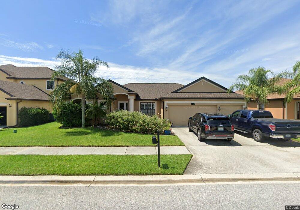
1333 Bent Palm Dr Merritt Island, FL 32952
Estimated Value: $558,055 - $782,000
4
Beds
3
Baths
2,426
Sq Ft
$255/Sq Ft
Est. Value
About This Home
This home is located at 1333 Bent Palm Dr, Merritt Island, FL 32952 and is currently estimated at $618,264, approximately $254 per square foot. 1333 Bent Palm Dr is a home located in Brevard County with nearby schools including Tropical Elementary School, Thomas Jefferson Middle School, and Merritt Island High School.
Ownership History
Date
Name
Owned For
Owner Type
Purchase Details
Closed on
Jul 20, 2006
Sold by
Mercedes Homes Inc
Bought by
Saul John M and Saul Abby L
Current Estimated Value
Home Financials for this Owner
Home Financials are based on the most recent Mortgage that was taken out on this home.
Original Mortgage
$280,000
Outstanding Balance
$165,770
Interest Rate
6.6%
Estimated Equity
$452,494
Purchase Details
Closed on
Jan 31, 2006
Sold by
Summers Creek Community Developers Inc
Bought by
Mercedes Homes Inc
Create a Home Valuation Report for This Property
The Home Valuation Report is an in-depth analysis detailing your home's value as well as a comparison with similar homes in the area
Home Values in the Area
Average Home Value in this Area
Purchase History
| Date | Buyer | Sale Price | Title Company |
|---|---|---|---|
| Saul John M | $350,000 | B D R Title | |
| Mercedes Homes Inc | $1,692,300 | Attorney |
Source: Public Records
Mortgage History
| Date | Status | Borrower | Loan Amount |
|---|---|---|---|
| Open | Saul John M | $280,000 |
Source: Public Records
Tax History Compared to Growth
Tax History
| Year | Tax Paid | Tax Assessment Tax Assessment Total Assessment is a certain percentage of the fair market value that is determined by local assessors to be the total taxable value of land and additions on the property. | Land | Improvement |
|---|---|---|---|---|
| 2025 | $3,077 | $244,230 | -- | -- |
| 2024 | $3,037 | $237,350 | -- | -- |
| 2023 | $3,037 | $230,440 | $0 | $0 |
| 2022 | $2,839 | $223,730 | $0 | $0 |
| 2021 | $2,945 | $217,220 | $0 | $0 |
| 2020 | $2,874 | $214,230 | $0 | $0 |
| 2019 | $2,821 | $209,420 | $0 | $0 |
| 2018 | $2,824 | $205,520 | $0 | $0 |
| 2017 | $2,845 | $201,300 | $0 | $0 |
| 2016 | $2,888 | $197,160 | $33,600 | $163,560 |
| 2015 | $2,968 | $195,790 | $27,300 | $168,490 |
| 2014 | $2,987 | $194,240 | $27,300 | $166,940 |
Source: Public Records
Map
Nearby Homes
- 115 S Marjorie Ct
- 1125 Newfound Harbor Dr
- 335 Newfound Harbor Dr
- 513 Summers Creek Dr
- 50 N Lee Ct
- 365 Newfound Harbor Dr
- 200 S Banana River Dr Unit B-3
- 200 S Banana River Dr Unit C-18
- 200 S Banana River Dr Unit D-17
- 200 S Banana River Dr Unit H-12
- 200 S Banana River Dr Unit E1
- 200 S Banana River Dr Unit D-18
- 200 S Banana River Dr Unit F12
- 200 S Banana River Dr Unit A12
- 200 S Banana River Dr
- 200 S Banana River Dr Unit A18
- 1784 N Merrimac Dr
- 472 Newfound Harbor Dr
- 474 Newfound Harbor Dr
- 84 S Banana River Dr
- 1323 Bent Palm Dr
- 1303 Bent Palm Dr
- 316 Lexie Ct
- 306 Lexie Ct
- 235 Jenifer Ct
- 1704 Sharon Ln
- 322 Summers Creek Dr
- 234 Jenifer Ct
- 236 Becky Ct
- 326 Lexie Ct
- 312 Summers Creek Dr
- 1706 Sharon Ln
- 225 Jenifer Ct
- 224 Jenifer Ct
- 292 Summers Creek Dr
- 226 Becky Ct
- 342 Summers Creek Dr
- 1373 Bent Palm Dr
- 327 Lexie Ct
- 215 Jenifer Ct