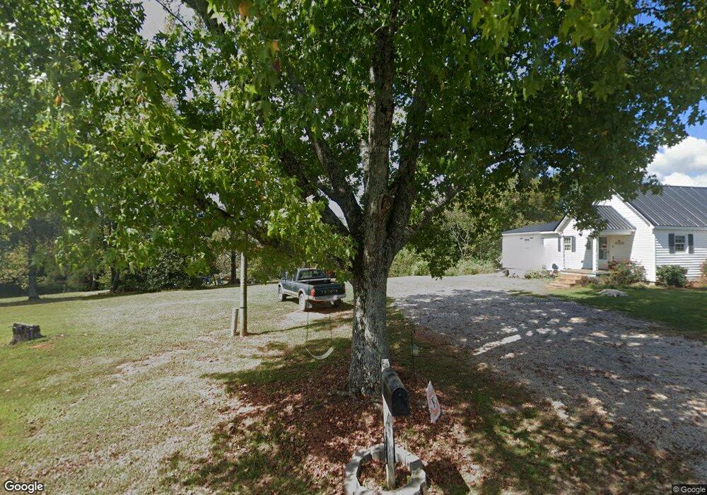
1333 High Point Rd Bowdon, GA 30108
Estimated Value: $321,000 - $553,000
3
Beds
3
Baths
1,520
Sq Ft
$302/Sq Ft
Est. Value
About This Home
This home is located at 1333 High Point Rd, Bowdon, GA 30108 and is currently estimated at $458,510, approximately $301 per square foot. 1333 High Point Rd is a home located in Carroll County with nearby schools including Bowdon Elementary School, Bowdon Middle School, and Bowdon High School.
Ownership History
Date
Name
Owned For
Owner Type
Purchase Details
Closed on
Nov 3, 2021
Sold by
Wertz Trecia
Bought by
Pennington Beverly and Pennington Wayne Glenn
Current Estimated Value
Home Financials for this Owner
Home Financials are based on the most recent Mortgage that was taken out on this home.
Original Mortgage
$309,900
Interest Rate
2.99%
Mortgage Type
New Conventional
Purchase Details
Closed on
Oct 28, 2009
Sold by
Tutsch Wanda
Bought by
Tutsch Wanda
Purchase Details
Closed on
Aug 19, 2005
Sold by
Tutsch
Bought by
Tutsch Wilbert and Tutsch Wanda
Purchase Details
Closed on
Mar 31, 1966
Bought by
Tutsch
Create a Home Valuation Report for This Property
The Home Valuation Report is an in-depth analysis detailing your home's value as well as a comparison with similar homes in the area
Home Values in the Area
Average Home Value in this Area
Purchase History
| Date | Buyer | Sale Price | Title Company |
|---|---|---|---|
| Pennington Beverly | $459,900 | -- | |
| Tutsch Wanda | -- | -- | |
| Tutsch Wilbert | -- | -- | |
| Tutsch | -- | -- |
Source: Public Records
Mortgage History
| Date | Status | Borrower | Loan Amount |
|---|---|---|---|
| Previous Owner | Pennington Beverly | $309,900 |
Source: Public Records
Tax History Compared to Growth
Tax History
| Year | Tax Paid | Tax Assessment Tax Assessment Total Assessment is a certain percentage of the fair market value that is determined by local assessors to be the total taxable value of land and additions on the property. | Land | Improvement |
|---|---|---|---|---|
| 2025 | $2,975 | $133,000 | $76,999 | $56,001 |
| 2024 | $3,009 | $133,000 | $76,999 | $56,001 |
| 2023 | $3,009 | $133,000 | $77,000 | $56,000 |
| 2022 | $2,420 | $96,474 | $57,052 | $39,422 |
| 2021 | $4,111 | $160,337 | $50,091 | $110,246 |
| 2020 | $3,668 | $142,908 | $45,537 | $97,371 |
| 2019 | $3,519 | $135,971 | $45,537 | $90,434 |
| 2018 | $519 | $130,095 | $45,537 | $84,558 |
| 2017 | $521 | $130,095 | $45,537 | $84,558 |
| 2016 | $521 | $130,095 | $45,537 | $84,558 |
| 2015 | $401 | $55,606 | $10,724 | $44,882 |
| 2014 | $404 | $55,606 | $10,724 | $44,882 |
Source: Public Records
Map
Nearby Homes
- 1509 High Point Rd
- 339 Cavender Ln
- 369 Cavender Ln
- 380 Grimmett Rd
- 0 Turkey Ct Unit LOT 42 & 46
- 16 Turkey Ct Unit LOT 47
- 0 County Road 689 Unit 21434008
- 0 County Road 689 Unit 10623882
- 0 N Highway 100 Unit TRACT 2 10571032
- 0 N Highway 100 Unit TRACT 3 10571036
- 0 N Highway 100 Unit TRACT 4 10571038
- 211 Kelly Creek Rd
- 80 Beaver Run Rd
- 786 Moon Rd
- 1844 Old Highway 100
- 760 Carlton Johnson Rd
- 3920 County Road 48
- 280 Levi-Patterson Rd
- 760 Carlton Johnson Rd
- 5435 County Road 43
- 1333 High Point Rd
- 1471 High Point Rd
- 170 Adamson Rd
- 250 Adamson Rd
- 1506 High Point Rd
- 253 Adamson Rd
- 1400 High Point Rd
- 41 Downs Rd
- 262 Adamson Rd
- 320 Adamson Rd
- 1249 High Point Rd
- 100 Adamson Rd
- 108 Downs Rd
- 0 Adamson Rd Unit 33.39 AC 7308911
- 0 Adamson Rd Unit 3.11 AC 7308879
- 0 Adamson Rd Unit 36.50 AC 7308944
- 0 Adamson Rd
- 0 Adamson Rd Unit 20180520
- 0 Adamson Rd Unit 10142462
- 0 Adamson Rd Unit 7193177