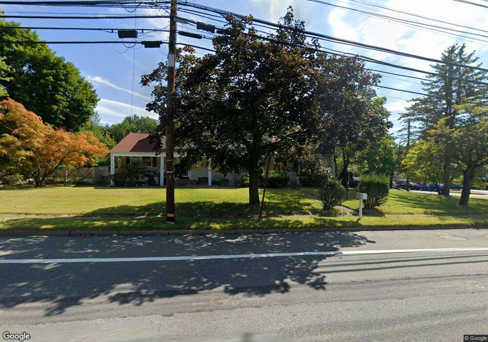
1333 Littleton Rd Parsippany, NJ 07054
Estimated Value: $778,000 - $849,840
--
Bed
--
Bath
3,367
Sq Ft
$242/Sq Ft
Est. Value
About This Home
This home is located at 1333 Littleton Rd, Parsippany, NJ 07054 and is currently estimated at $813,920, approximately $241 per square foot. 1333 Littleton Rd is a home with nearby schools including Littleton Elementary School, Brooklawn Middle School, and Parsippany Hills High School.
Ownership History
Date
Name
Owned For
Owner Type
Purchase Details
Closed on
Jun 2, 2022
Sold by
Shah and Shital
Bought by
Shah Umesh and Shah Pratima
Current Estimated Value
Purchase Details
Closed on
Jul 27, 2006
Sold by
Vanderhave Angela
Bought by
Shah Umesh and Shah Pratima
Home Financials for this Owner
Home Financials are based on the most recent Mortgage that was taken out on this home.
Original Mortgage
$464,000
Interest Rate
6.7%
Mortgage Type
New Conventional
Purchase Details
Closed on
Jul 11, 2005
Sold by
Marone Pasquale
Bought by
Marone Pasquale and Vanderhave Angela
Purchase Details
Closed on
Jan 29, 1998
Sold by
Morone Pasquale E and Vanderhave Angela M
Bought by
Morone Pasquale E and Vanderhave Angela M
Create a Home Valuation Report for This Property
The Home Valuation Report is an in-depth analysis detailing your home's value as well as a comparison with similar homes in the area
Home Values in the Area
Average Home Value in this Area
Purchase History
| Date | Buyer | Sale Price | Title Company |
|---|---|---|---|
| Shah Umesh | -- | None Listed On Document | |
| Shah Umesh | $580,000 | -- | |
| Marone Pasquale | -- | -- | |
| Morone Pasquale E | -- | -- |
Source: Public Records
Mortgage History
| Date | Status | Borrower | Loan Amount |
|---|---|---|---|
| Previous Owner | Shah Umesh | $464,000 |
Source: Public Records
Tax History Compared to Growth
Tax History
| Year | Tax Paid | Tax Assessment Tax Assessment Total Assessment is a certain percentage of the fair market value that is determined by local assessors to be the total taxable value of land and additions on the property. | Land | Improvement |
|---|---|---|---|---|
| 2025 | $14,728 | $425,300 | $188,000 | $237,300 |
| 2024 | $14,447 | $425,300 | $188,000 | $237,300 |
| 2023 | $14,447 | $425,300 | $188,000 | $237,300 |
| 2022 | $13,478 | $425,300 | $188,000 | $237,300 |
| 2021 | $13,478 | $425,300 | $188,000 | $237,300 |
| 2020 | $13,159 | $425,300 | $188,000 | $237,300 |
| 2019 | $12,806 | $425,300 | $188,000 | $237,300 |
| 2018 | $12,525 | $425,300 | $188,000 | $237,300 |
| 2017 | $12,244 | $425,300 | $188,000 | $237,300 |
| 2016 | $12,032 | $425,300 | $188,000 | $237,300 |
| 2015 | $11,713 | $425,300 | $188,000 | $237,300 |
| 2014 | $11,560 | $425,300 | $188,000 | $237,300 |
Source: Public Records
Map
Nearby Homes
- 91 Farmingdale Dr
- 158 Fieldcrest Rd
- 11 Drumlin Dr
- 34 Moraine Rd
- 162 Halsey Rd
- 233 Atlantic Dr
- 240 Atlantic Dr
- 417 Allentown Rd
- 206 Atlantic Dr
- 189 Park Rd
- 87 Crestview Dr
- 52 Atlantic Dr
- 21 Holly Dr
- 86 Camden Rd
- 132 Camden Rd
- 1 Ironwood Dr
- 340 Marcella Rd
- 23 Garfield Rd
- 711 Park Rd
- 2350 State Route 10 Unit D11
- 3 Marston Dr
- 1329 Littleton Rd
- 1209 Littleton Rd
- 5 Marston Dr
- 1328 Littleton Rd
- 1319 Littleton Rd
- 1338 Littleton Rd
- 1320 Littleton Rd
- 4 Marston Dr
- 1306 Littleton Rd
- 7 Marston Dr
- 8 E Brooklawn Dr
- 6 Dartford Rd
- 6 Marston Dr
- 5 Dartford Rd
- 1300 Littleton Rd
- 1300 Littleton Rd Unit 1
- 10 Law
- 2 Brentwood Dr
- 9 Marston Dr