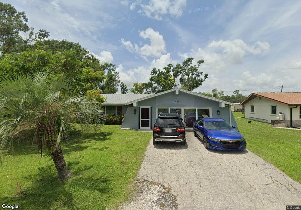
1333 Nimrod St Port Charlotte, FL 33952
Estimated Value: $264,216 - $297,000
3
Beds
2
Baths
1,728
Sq Ft
$164/Sq Ft
Est. Value
About This Home
This home is located at 1333 Nimrod St, Port Charlotte, FL 33952 and is currently estimated at $282,804, approximately $163 per square foot. 1333 Nimrod St is a home located in Charlotte County with nearby schools including Neil Armstrong Elementary School, Murdock Middle School, and Port Charlotte High School.
Ownership History
Date
Name
Owned For
Owner Type
Purchase Details
Closed on
Nov 4, 2013
Sold by
Ricketts Vincent
Bought by
Ricketts Vincent and Jarrett Valrie
Current Estimated Value
Purchase Details
Closed on
Nov 23, 1998
Sold by
Rowe Mary Jane
Bought by
Ricketts Vincent
Home Financials for this Owner
Home Financials are based on the most recent Mortgage that was taken out on this home.
Original Mortgage
$62,400
Outstanding Balance
$13,477
Interest Rate
6.47%
Estimated Equity
$269,327
Purchase Details
Closed on
Jul 1, 1994
Sold by
Kelin Selma E
Bought by
Rowe Scott R and Rowe Mary Jane
Create a Home Valuation Report for This Property
The Home Valuation Report is an in-depth analysis detailing your home's value as well as a comparison with similar homes in the area
Home Values in the Area
Average Home Value in this Area
Purchase History
| Date | Buyer | Sale Price | Title Company |
|---|---|---|---|
| Ricketts Vincent | -- | Attorney | |
| Ricketts Vincent | $78,000 | -- | |
| Rowe Scott R | $75,000 | -- |
Source: Public Records
Mortgage History
| Date | Status | Borrower | Loan Amount |
|---|---|---|---|
| Open | Ricketts Vincent | $62,400 |
Source: Public Records
Tax History Compared to Growth
Tax History
| Year | Tax Paid | Tax Assessment Tax Assessment Total Assessment is a certain percentage of the fair market value that is determined by local assessors to be the total taxable value of land and additions on the property. | Land | Improvement |
|---|---|---|---|---|
| 2023 | $6,571 | $255,117 | $0 | $0 |
| 2022 | $6,425 | $247,686 | $0 | $0 |
| 2021 | $6,475 | $203,997 | $5,355 | $198,642 |
| 2020 | $6,232 | $195,911 | $4,505 | $191,406 |
| 2019 | $5,768 | $163,467 | $4,675 | $158,792 |
| 2018 | $2,965 | $151,453 | $4,250 | $147,203 |
| 2017 | $2,927 | $155,219 | $4,216 | $151,003 |
| 2016 | $2,825 | $128,647 | $0 | $0 |
| 2015 | $2,481 | $116,952 | $0 | $0 |
| 2014 | $1,509 | $99,971 | $0 | $0 |
Source: Public Records
Map
Nearby Homes
- 1357 Nimrod St
- 1317 Arrow St
- 20297 Kinderkemac Ave
- 1302 Arrow St
- 20284 Emerald Ave
- 20296 Rutherford Ave
- 20330 Emerald Ave
- 20190 Rutherford Ave
- 1366 Preston St
- 20246 Rutherford Ave
- 20260 Tralee Dr
- 1381 Fargo St
- 20246 Hamilton Ave
- 1358 Fargo St
- 1469 Proper St
- 20214 Hamilton Ave
- 20191 Rutherford Ave
- 20170 Tralee Dr
- 20307 Zelda Ave
- 20352 Astoria Ave