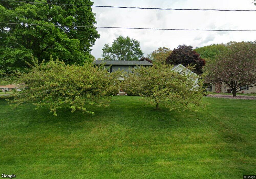
13330 Gregor Cir NW Uniontown, OH 44685
Estimated Value: $334,000 - $435,000
5
Beds
4
Baths
2,898
Sq Ft
$135/Sq Ft
Est. Value
About This Home
This home is located at 13330 Gregor Cir NW, Uniontown, OH 44685 and is currently estimated at $391,711, approximately $135 per square foot. 13330 Gregor Cir NW is a home located in Stark County with nearby schools including Lake Middle/High School, Lake Center Christian School, and Mayfair Christian School.
Ownership History
Date
Name
Owned For
Owner Type
Purchase Details
Closed on
Sep 5, 2001
Sold by
Frees David P
Bought by
Frees Conley D
Current Estimated Value
Purchase Details
Closed on
Nov 18, 1991
Purchase Details
Closed on
Aug 6, 1991
Create a Home Valuation Report for This Property
The Home Valuation Report is an in-depth analysis detailing your home's value as well as a comparison with similar homes in the area
Home Values in the Area
Average Home Value in this Area
Purchase History
| Date | Buyer | Sale Price | Title Company |
|---|---|---|---|
| Frees Conley D | -- | -- | |
| -- | $102,500 | -- | |
| -- | $99,000 | -- |
Source: Public Records
Tax History Compared to Growth
Tax History
| Year | Tax Paid | Tax Assessment Tax Assessment Total Assessment is a certain percentage of the fair market value that is determined by local assessors to be the total taxable value of land and additions on the property. | Land | Improvement |
|---|---|---|---|---|
| 2025 | $3,288 | $130,380 | $21,670 | $108,710 |
| 2024 | -- | $130,380 | $21,670 | $108,710 |
| 2023 | $5,520 | $95,660 | $16,280 | $79,380 |
| 2022 | $5,537 | $95,660 | $16,280 | $79,380 |
| 2021 | $5,589 | $95,660 | $16,280 | $79,380 |
| 2020 | $5,377 | $81,800 | $14,040 | $67,760 |
| 2019 | $5,339 | $75,710 | $15,580 | $60,130 |
| 2018 | $4,994 | $75,710 | $15,580 | $60,130 |
| 2017 | $3,941 | $53,100 | $13,900 | $39,200 |
| 2016 | $3,947 | $53,100 | $13,900 | $39,200 |
| 2015 | $3,948 | $53,100 | $13,900 | $39,200 |
| 2014 | $1,575 | $48,440 | $12,670 | $35,770 |
| 2013 | $1,788 | $48,440 | $12,670 | $35,770 |
Source: Public Records
Map
Nearby Homes
- 3100 Linden St NW
- 3310 Linden St NW
- 0 Pine St NW
- 2944 Pontius St NW
- 13341 Sugar Bush Ave NW
- 2498 Foxfire St NW
- 13792 Amodio Ave NW
- 3796 Sweitzer St NW
- 13025 Sunset Cir NW
- 91 Pontius Rd
- 835 Brodie Ct
- 843 Brodie Ct
- 2693 Ledgestone Dr NW
- 12494 Bridgemont Ave NW
- 3979 Northdale St NW
- 2399 Ledgestone Dr NW
- 2455 Ledgestone Dr NW
- 2439 Ledgestone Dr NW
- 2411 Ledgestone Dr NW
- 2348 Ledgestone Dr NW
- 13300 Gregor Cir NW
- 3120 Broad Vista St NW
- 3151 Broad Vista St NW
- 13333 Gregor Cir NW
- 3173 Broad Vista St NW
- 13313 Gregor Cir NW
- 3133 Virginia Ave NW
- 3133 Broad Vista St NW
- 3195 Broad Vista St NW
- 13292 Gregor Cir NW
- 3115 Broad Vista St NW
- 13286 Gregor Cir NW
- 13286 Gregor Cir NW
- 13293 Gregor Cir NW
- 13395 Virginia Ave NW
- 3215 Broad Vista St NW
- 3100 Broad Vista St NW
- 13354 Carla Ave NW
- 3081 Broad Vista St NW
- 3104 Lori St NW