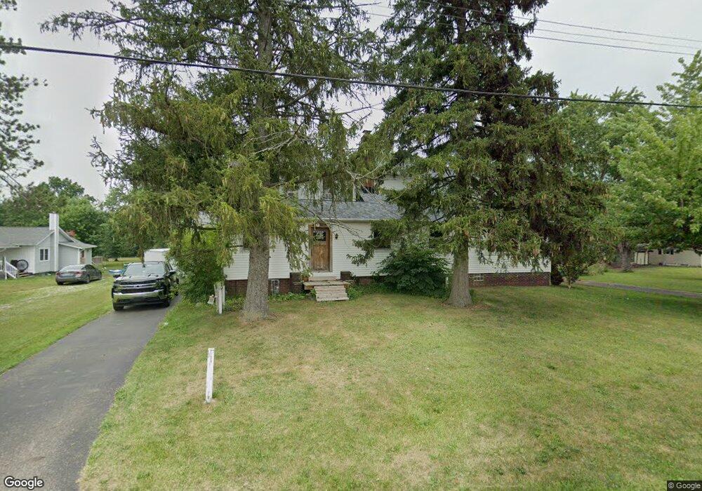
13331 Beeson St NE Alliance, OH 44601
Estimated Value: $362,000 - $486,000
4
Beds
3
Baths
3,632
Sq Ft
$120/Sq Ft
Est. Value
About This Home
This home is located at 13331 Beeson St NE, Alliance, OH 44601 and is currently estimated at $435,007, approximately $119 per square foot. 13331 Beeson St NE is a home located in Stark County with nearby schools including Marlington High School and Regina Coeli/St Joseph School.
Ownership History
Date
Name
Owned For
Owner Type
Purchase Details
Closed on
Dec 16, 1999
Sold by
Thomas Christine A
Bought by
Thomas Christine Anne and Ballor James A
Current Estimated Value
Home Financials for this Owner
Home Financials are based on the most recent Mortgage that was taken out on this home.
Original Mortgage
$95,125
Interest Rate
7.87%
Purchase Details
Closed on
Jul 1, 1993
Create a Home Valuation Report for This Property
The Home Valuation Report is an in-depth analysis detailing your home's value as well as a comparison with similar homes in the area
Home Values in the Area
Average Home Value in this Area
Purchase History
| Date | Buyer | Sale Price | Title Company |
|---|---|---|---|
| Thomas Christine Anne | $48,800 | Prospect Title Agency Inc | |
| -- | $72,800 | -- |
Source: Public Records
Mortgage History
| Date | Status | Borrower | Loan Amount |
|---|---|---|---|
| Previous Owner | Thomas Christine Anne | $95,125 |
Source: Public Records
Tax History Compared to Growth
Tax History
| Year | Tax Paid | Tax Assessment Tax Assessment Total Assessment is a certain percentage of the fair market value that is determined by local assessors to be the total taxable value of land and additions on the property. | Land | Improvement |
|---|---|---|---|---|
| 2025 | -- | $132,130 | $22,750 | $109,380 |
| 2024 | -- | $132,130 | $22,750 | $109,380 |
| 2023 | $3,587 | $101,710 | $15,190 | $86,520 |
| 2022 | $3,600 | $101,710 | $15,190 | $86,520 |
| 2021 | $3,611 | $101,710 | $15,190 | $86,520 |
| 2020 | $3,327 | $83,480 | $13,090 | $70,390 |
| 2019 | $3,304 | $83,490 | $13,090 | $70,400 |
| 2018 | $3,309 | $83,490 | $13,090 | $70,400 |
| 2017 | $3,250 | $76,740 | $11,870 | $64,870 |
| 2016 | $3,054 | $72,120 | $9,560 | $62,560 |
| 2015 | $2,908 | $72,120 | $9,560 | $62,560 |
| 2014 | $656 | $60,150 | $7,980 | $52,170 |
| 2013 | $1,321 | $60,150 | $7,980 | $52,170 |
Source: Public Records
Map
Nearby Homes
- 13334 Cindy St NE
- 13061 Beeson St NE
- 0 Meadow St NE
- 0 W Main St Unit 5090123
- 10666 Wilma Ave NE
- 11480 Aebi Ave NE
- 000 Klinger Ave
- 1430 Westwood Ave
- 432 Johnson Ave
- 2081 Marwood Cir
- 0 Klinger Ave NE
- 1201 Overlook Dr
- 11940 Freshley Ave NE
- 565 W Broadway St
- 11960 Freshley Ave NE
- 1038 Fairview Place
- 0 Johnson Ave NE Unit 5142926
- 0 Meadowbrook Ave
- 0 Homestead Ave NE
- 14422 Sturbridge Rd NE
- 13321 Beeson St NE
- 13295 Beeson St NE
- 13363 Beeson St NE
- 10571 Heltman Ave NE
- 13285 Beeson St NE
- 10595 Heltman Ave NE
- 13271 Beeson St NE
- 10586 Julie St NE
- 10580 Heltman Ave NE
- 13231 Beeson St NE
- 10607 Heltman Ave NE
- 10608 Julie St NE
- 10616 Heltman Ave NE
- 13445 Beeson St NE
- 13223 Beeson St NE
- 10645 Heltman Ave NE
- 10630 Julie St NE
- 0 Beeson St NE Unit 3398938
- 0 Beeson St NE Unit 3467574
- 0 Beeson St NE Unit 3642527